
| Distance / Altitude | Location | Report Date / Time | Live Weather | Wind | Gusts | Temp. | Visibility | Cloud |
|---|---|---|---|---|---|---|---|---|
| 17 km S / 293 m | Davao/Francisco Bangoy International Airport (Philippines) | 2025-12-24 19:00 local (2025/12/24 11:00 GMT) | Thunderstorm light rain thunderstorm | calm (4 km/h at 330) | 26°C | 8.0 | few scattered broken | |
| 17 km S / 293 m | Davao/Francisco Bangoy International Airport (Philippines) | 2025-12-24 18:00 local (2025/12/24 10:00 GMT) | Thunderstorm - | light winds from the ENE (15 km/h at 70) | 28°C | 9.0 | few scattered broken | |
| 19 km SSE / - m | SHIP463 (ocean) | 2025-12-24 19:00 local (2025/12/24 11:00 GMT) | No report | calm (0 km/h at 0) | 27°C | - | no observation | |
| 19 km SSE / 3 m | SHIP8406 (Marine) | 2025-12-24 20:00 local (2025/12/24 12:00 GMT) | calm (2 km/h at 260) | 27°C | - | |||
| 19 km SSE / 15 m | SHIP3135 (Marine) | 2025-12-24 19:00 local (2025/12/24 11:00 GMT) | calm (1.8 km/h at 190) | 29°C | - km | |||
| 19 km SSE / - m | SHIP501 (ocean) | 2025-12-24 18:00 local (2025/12/24 10:00 GMT) | No report | fresh winds from the NNE (31 km/h at 20) | 28°C | - | no observation | |
| 19 km SSE / - m | SHIP109 (ocean) | 2025-12-24 19:00 local (2025/12/24 11:00 GMT) | No report | light winds from the NNE (7 km/h at 30) | 27°C | - | no observation | |
| 19 km SSE / 15 m | SHIP6098 (Marine) | 2025-12-24 19:00 local (2025/12/24 11:00 GMT) | calm (1.8 km/h at 190) | 29°C | - km | |||
| 19 km SSE / 15 m | SHIP7301 (Marine) | 2025-12-24 18:00 local (2025/12/24 10:00 GMT) | light winds from the NE (12.96 km/h at 50) | 29°C | - km | |||
| 19 km SSE / 15 m | SHIP5754 (Marine) | 2025-12-24 20:00 local (2025/12/24 12:00 GMT) | calm (1.8 km/h at 260) | 29°C | - km |
| Contours: | Roads & Rivers: | Select a
tide station / surf break / city |
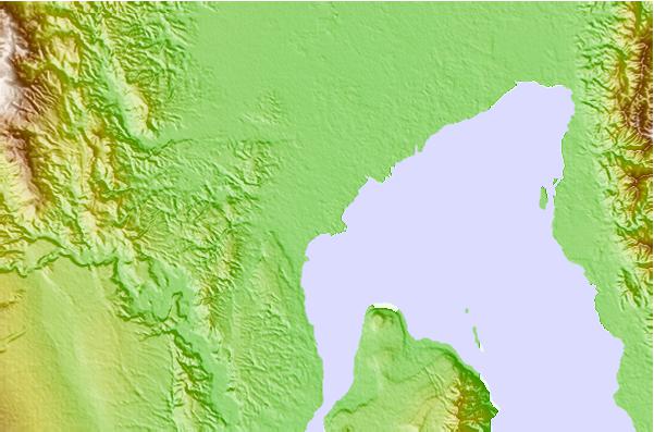
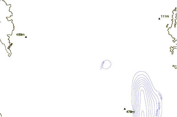
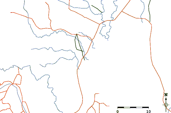
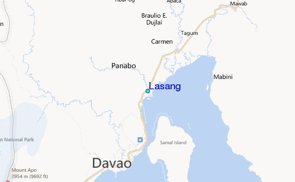
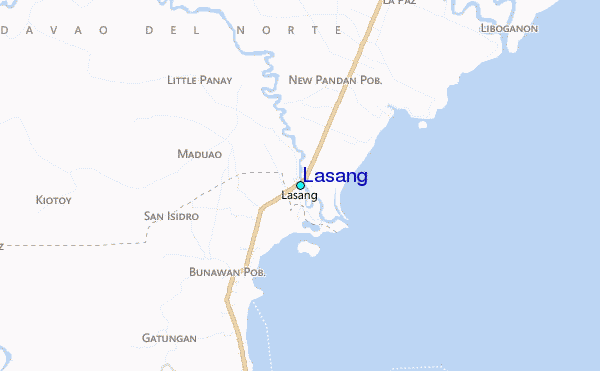
Use this relief map to navigate to tide stations, surf breaks and cities that are in the area of Lasang.
Other Nearby Locations' tide tables and tide charts to Lasang:
click location name for more details
 Surf breaks close to Lasang:
|
||
|---|---|---|
| Closest surf break | Tago River | 127 mi |
| Second closest surf break | Marami Beach | 131 mi |
| Third closest surf break | Lanuza Rivermouth | 139 mi |
| Fourth closest surf break | Big Star | 140 mi |
| Fifth closest surf break | Moshi-Moshi | 142 mi |


 Nearest
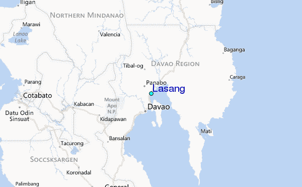