
| Distance / Altitude | Location | Report Date / Time | Live Weather | Wind | Gusts | Temp. | Visibility | Cloud |
|---|---|---|---|---|---|---|---|---|
| 118 km SW / 152 m | Bukitsari wx (Indonesia) | 2025-12-25 17:01 local (2025/12/25 10:01 GMT) | - | - (- km/h at ) | 27°C | - | - - 0 | |
| 118 km SW / 152 m | Bukitsari wx (Indonesia) | 2025-12-25 17:08 local (2025/12/25 10:08 GMT) | - | - (- km/h at ) | 32°C | - | - - 0 | |
| 120 km SW / 3 m | Achmad Yani (Indonesia) | 2025-12-25 16:00 local (2025/12/25 09:00 GMT) | Light to moderate thunderstorm | light winds from the S (11 km/h at 190) | 26°C | 3.0 km | - overcast - | |
| 120 km SW / 5 m | Ahmad Yani International Airport (Indonesia) | 2025-12-25 16:30 local (2025/12/25 09:30 GMT) | Light rain | light winds from the WSW.(Wind varies from 190 to 300 degs) (6 km/h at 240) | 26°C | 6.0 | few scattered | |
| 154 km ESE / 3 m | SurabayaPerakI (Indonesia) | 2025-12-25 16:00 local (2025/12/25 09:00 GMT) | Intermittent light rain | wind obs. (6 kph from 150 degs) was rejected (- km/h at -) | 30°C | 28 km | - overcast - | |
| 166 km ESE / 2 m | Juanda Airport (Indonesia) | 2025-12-25 16:30 local (2025/12/25 09:30 GMT) | Light to moderate thunderstorm | wind obs. (7 kph from 230 degs) was rejected (- km/h at -) | 27°C | 5.0 km | scattered overcast - | |
| 178 km SW / 2039 m | Dieng Kulon wx (Indonesia) | 2025-12-25 17:12 local (2025/12/25 10:12 GMT) | - | wind obs. (32 kph from 92 degs) was rejected (- km/h at -) | 11°C | - | - - 0 | |
| 224 km ESE / 15 m | SHIP6143 (Marine) | 2025-12-25 16:00 local (2025/12/25 09:00 GMT) | - (- km/h at -) | — | - km | |||
| 224 km ESE / 3 m | SHIP4486 (Marine) | 2025-12-25 15:00 local (2025/12/25 08:00 GMT) | - (- km/h at -) | 32°C | - | |||
| 224 km ESE / 15 m | SHIP2886 (Marine) | 2025-12-25 16:00 local (2025/12/25 09:00 GMT) | - (- km/h at -) | — | - km |
| Contours: | Roads & Rivers: | Select a
tide station / surf break / city |
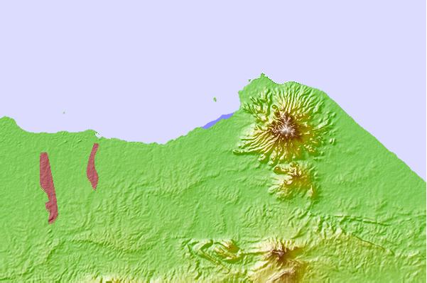
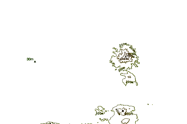
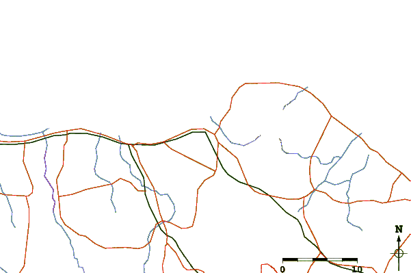
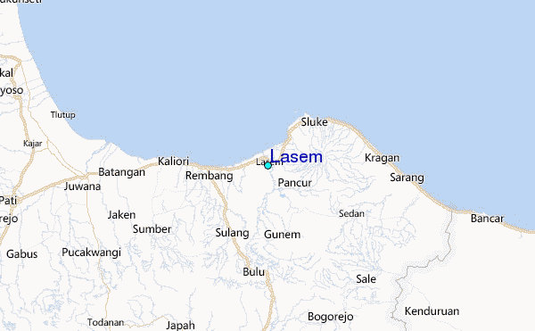
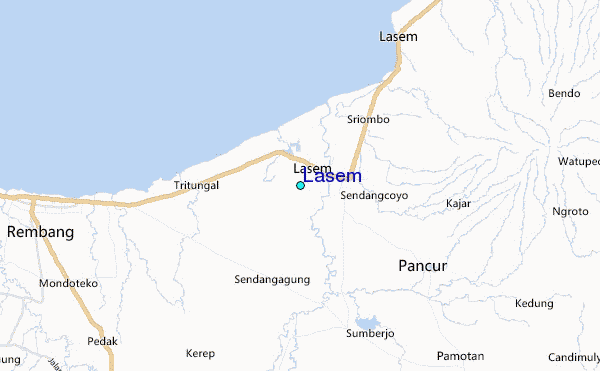
Use this relief map to navigate to tide stations, surf breaks and cities that are in the area of Lasem.
Other Nearby Locations' tide tables and tide charts to Lasem:
click location name for more details
 Surf breaks close to Lasem:
|
||
|---|---|---|
| Closest surf break | Karang Nini | 198 mi |
| Second closest surf break | Batu Mandi | 203 mi |
| Third closest surf break | Batu Hiu | 210 mi |
| Fourth closest surf break | Batu Karas | 214 mi |
| Fifth closest surf break | Keusik Luhur | 216 mi |


 Nearest
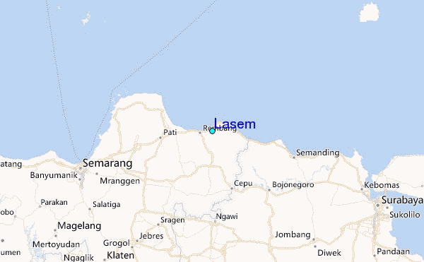