
| Distance / Altitude | Location | Report Date / Time | Live Weather | Wind | Gusts | Temp. | Visibility | Cloud |
|---|---|---|---|---|---|---|---|---|
| 519 km NNE / 15 m | SHIP3863 (Marine) | 2026-03-19 14:00 local (2026/03/20 00:00 GMT) | strong winds from the ENE (50.04 km/h at 70) | 20°C | 17.7 km | |||
| 619 km W / 3 m | BUOY-SNDP5 (Marine) | 2026-03-19 15:00 local (2026/03/20 01:00 GMT) | - (- km/h at -) | 20°C | - | |||
| 620 km W / 219 m | Midway Island Henderson Field Airport (Hawaii) | 2026-03-19 14:31 local (2026/03/20 00:31 GMT) | Dry and partly cloudy | moderate winds from the E (24 km/h at 90) | 22°C | 14 | broken | |
| 620 km W / 3 m | BUOY-SNDP5 (Marine) | 2026-03-19 15:00 local (2026/03/20 01:00 GMT) | - (- km/h at -) | 20°C | - | |||
| 942 km SSW / 15 m | SHIP6588 (Marine) | 2026-03-19 13:00 local (2026/03/19 23:00 GMT) | - (- km/h at -) | — | - km | |||
| 942 km SSW / 15 m | SHIP4853 (Marine) | 2026-03-19 13:00 local (2026/03/19 23:00 GMT) | - (- km/h at -) | — | - km | |||
| 942 km SSW / 15 m | SHIP8165 (Marine) | 2026-03-19 13:00 local (2026/03/19 23:00 GMT) | - (- km/h at -) | — | - km | |||
| 942 km SSW / 15 m | SHIP3382 (Marine) | 2026-03-19 13:00 local (2026/03/19 23:00 GMT) | - (- km/h at -) | — | - km | |||
| 942 km SSW / 15 m | SHIP3026 (Marine) | 2026-03-19 13:00 local (2026/03/19 23:00 GMT) | - (- km/h at -) | — | - km | |||
| 980 km SSW / 15 m | SHIP1994 (Marine) | 2026-03-19 14:00 local (2026/03/20 00:00 GMT) | - (- km/h at -) | — | - km |
| Contours: | Roads & Rivers: | Select a
tide station / surf break / city |
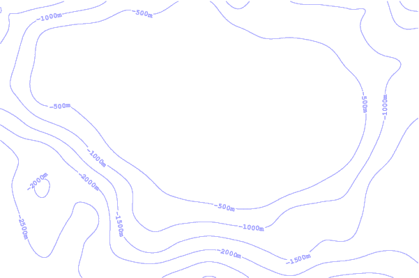
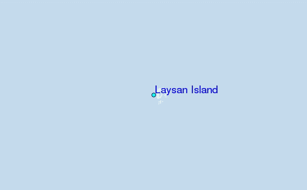
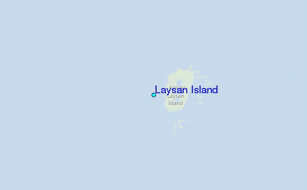
Use this relief map to navigate to tide stations, surf breaks and cities that are in the area of Laysan Island.
Other Nearby Locations' tide tables and tide charts to Laysan Island:
click location name for more details
 Surf breaks close to Laysan Island:
|
||
|---|---|---|
| Closest surf break | Majors Bay | 799 mi |
| Second closest surf break | Polihale | 799 mi |
| Third closest surf break | Davidson Point | 804 mi |
| Fourth closest surf break | Cannons | 807 mi |
| Fifth closest surf break | Tunnels | 807 mi |


 Nearest