
| Distance / Altitude | Location | Report Date / Time | Live Weather | Wind | Gusts | Temp. | Visibility | Cloud |
|---|---|---|---|---|---|---|---|---|
| 20 km ENE / 6 m | Charleston Executive Airport (South Carolina) (South Carolina) | 2025-12-25 23:35 local (2025/12/26 04:35 GMT) | Mist - | light winds from the ESE (6 km/h at 110) | — | 8 | ||
| 25 km SW / 3 m | BUOY-ACXS1 (Marine) | 2025-12-25 23:45 local (2025/12/26 04:45 GMT) | - (0 km/h at -) | 15°C | - | |||
| 31 km ENE / 3 m | BUOY-CHTS1 (Marine) | 2025-12-26 00:18 local (2025/12/26 05:18 GMT) | light winds from the WSW (9 km/h at 240) | — | - | |||
| 33 km NNE / 216 m | Charleston Airport (South Carolina) | 2025-12-25 22:56 local (2025/12/26 03:56 GMT) | - | light winds from the W (11 km/h at 260) | 17°C | 16 | few | |
| 34 km ENE / 3 m | SHIP1531 (Marine) | 2025-12-25 22:00 local (2025/12/26 03:00 GMT) | - (- km/h at -) | — | - | |||
| 34 km ENE / 3 m | SHIP1960 (Marine) | 2025-12-25 22:00 local (2025/12/26 03:00 GMT) | - (- km/h at -) | — | - | |||
| 34 km ENE / 15 m | SHIP4370 (Marine) | 2025-12-25 22:00 local (2025/12/26 03:00 GMT) | - (- km/h at -) | — | - km | |||
| 34 km ENE / 3 m | SHIP6566 (Marine) | 2025-12-25 22:00 local (2025/12/26 03:00 GMT) | - (- km/h at -) | — | - | |||
| 34 km ENE / 15 m | SHIP3135 (Marine) | 2025-12-25 22:00 local (2025/12/26 03:00 GMT) | - (- km/h at -) | — | - km | |||
| 34 km ENE / 15 m | SHIP3474 (Marine) | 2025-12-26 00:00 local (2025/12/26 05:00 GMT) | - (- km/h at -) | — | - km |
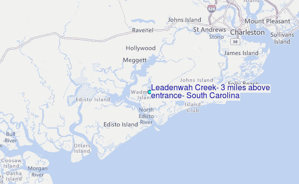
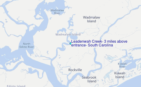
Choose Leadenwah Creek, 3 miles above entrance, South Carolina Location Map Zoom:
| Contours: | Roads & Rivers: | Select a
tide station / surf break / city |
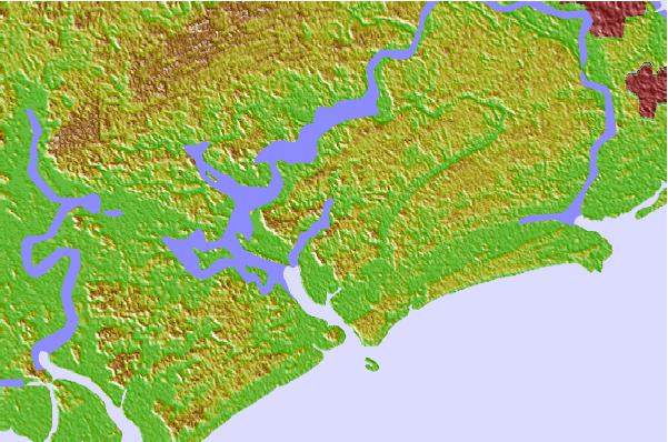

Use this relief map to navigate to tide stations, surf breaks and cities that are in the area of Leadenwah Creek, 3 miles above entrance, South Carolina.
Other Nearby Locations' tide tables and tide charts to Leadenwah Creek, 3 miles above entrance, South Carolina:
click location name for more details
 Surf breaks close to Leadenwah Creek, 3 miles above entrance, South Carolina:
|
||
|---|---|---|
| Closest surf break | Edisto Beach | 11 mi |
| Second closest surf break | Folly Beach Pier | 16 mi |
| Third closest surf break | Folly Beach | 16 mi |
| Fourth closest surf break | The Washout | 18 mi |
| Fifth closest surf break | Berts Bar | 23 mi |


 Nearest
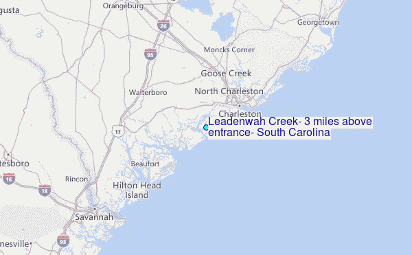