
| Distance / Altitude | Location | Report Date / Time | Live Weather | Wind | Gusts | Temp. | Visibility | Cloud |
|---|---|---|---|---|---|---|---|---|
| 130 km S / 0 m | lightning 89km S of Cotes-de-Fer (Haiti) | 2025-12-25 00:34 local (2025/12/25 05:34 GMT) | Thunderstorm | (- km/h at -) | — | |||
| 172 km S / 0 m | lightning 114km SE of Torbeck (Haiti) | 2025-12-25 01:50 local (2025/12/25 06:50 GMT) | Thunderstorm | (- km/h at -) | — | |||
| 199 km WSW / 3 m | SHIP8133 (Marine) | 2025-12-25 03:00 local (2025/12/25 08:00 GMT) | - (- km/h at -) | 26°C | - | |||
| 204 km NE / 64 m | Mao (Dominican Republic) | 2025-12-25 03:00 local (2025/12/25 08:00 GMT) | dry | calm (0 km/h at 173) | 21°C | - | - - 0 | |
| 208 km WSW / 3 m | SHIP5920 (Marine) | 2025-12-25 02:00 local (2025/12/25 07:00 GMT) | - (- km/h at -) | 27°C | - | |||
| 208 km WSW / 3 m | SHIP3385 (Marine) | 2025-12-25 02:00 local (2025/12/25 07:00 GMT) | - (- km/h at -) | 27°C | - | |||
| 208 km WSW / 3 m | SHIP5450 (Marine) | 2025-12-25 02:00 local (2025/12/25 07:00 GMT) | - (- km/h at -) | 27°C | - | |||
| 208 km WSW / 15 m | SHIP8755 (Marine) | 2025-12-25 02:00 local (2025/12/25 07:00 GMT) | - (- km/h at -) | — | - km | |||
| 208 km WSW / 3 m | SHIP7965 (Marine) | 2025-12-25 02:00 local (2025/12/25 07:00 GMT) | - (- km/h at -) | 27°C | - | |||
| 208 km WSW / 15 m | SHIP4226 (Marine) | 2025-12-25 02:00 local (2025/12/25 07:00 GMT) | - (- km/h at -) | — | - km |
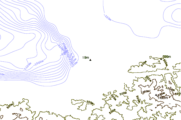
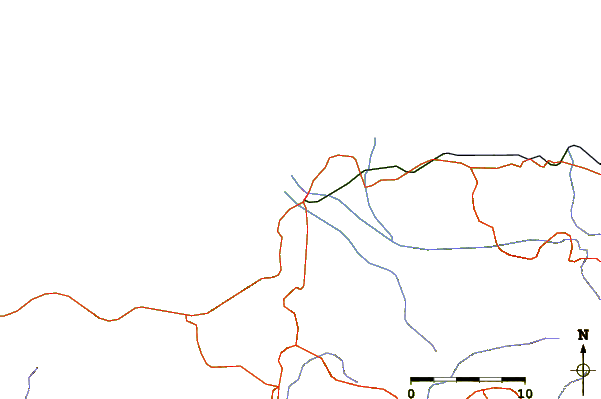
| Contours: | Roads & Rivers: | Select a
tide station / surf break / city |
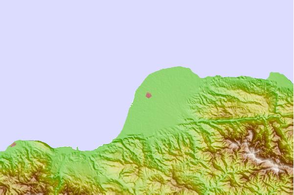
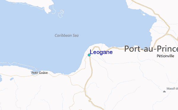
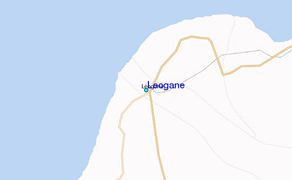
Use this relief map to navigate to tide stations, surf breaks and cities that are in the area of Leogane.
Other Nearby Locations' tide tables and tide charts to Leogane:
click location name for more details
 Surf breaks close to Leogane:
|
||
|---|---|---|
| Closest surf break | Jacmel | 21 mi |
| Second closest surf break | Bahia de las Aguilas | 79 mi |
| Third closest surf break | Paraiso | 99 mi |
| Fourth closest surf break | San Rafael | 99 mi |
| Fifth closest surf break | Isla Beata | 99 mi |


 Nearest