
| Distance / Altitude | Location | Report Date / Time | Live Weather | Wind | Gusts | Temp. | Visibility | Cloud |
|---|---|---|---|---|---|---|---|---|
| 3 km SSW / 82 m | Lerwick (United Kingdom) | 2025-12-25 08:00 local (2025/12/25 08:00 GMT) | - | calm (0 km/h at 0) | 8°C | 60 km | overcast | |
| 6 km SSE / 3 m | SHIP2940 (Marine) | 2025-12-25 08:00 local (2025/12/25 08:00 GMT) | - (- km/h at -) | 9°C | - | |||
| 6 km SSE / 3 m | SHIP2371 (Marine) | 2025-12-25 06:00 local (2025/12/25 06:00 GMT) | - (- km/h at -) | 9°C | - | |||
| 6 km SSE / 3 m | SHIP7492 (Marine) | 2025-12-25 06:00 local (2025/12/25 06:00 GMT) | - (- km/h at -) | 10°C | - | |||
| 6 km SSE / 3 m | SHIP4157 (Marine) | 2025-12-25 07:00 local (2025/12/25 07:00 GMT) | - (- km/h at -) | 9°C | - | |||
| 6 km SSE / 3 m | SHIP1362 (Marine) | 2025-12-25 06:00 local (2025/12/25 06:00 GMT) | - (- km/h at -) | 9°C | - | |||
| 6 km SSE / 15 m | SHIP9190 (Marine) | 2025-12-25 06:00 local (2025/12/25 06:00 GMT) | - (- km/h at -) | — | - km | |||
| 6 km SSE / 3 m | SHIP4454 (Marine) | 2025-12-25 06:00 local (2025/12/25 06:00 GMT) | - (- km/h at -) | 10°C | - | |||
| 6 km SSE / 15 m | SHIP5888 (Marine) | 2025-12-25 06:00 local (2025/12/25 06:00 GMT) | - (- km/h at -) | — | - km | |||
| 6 km SSE / 3 m | SHIP2266 (Marine) | 2025-12-25 06:00 local (2025/12/25 06:00 GMT) | - (- km/h at -) | 9°C | - |
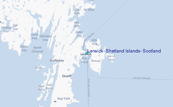
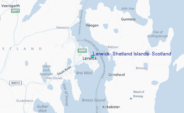
Choose Lerwick, Shetland Islands, Scotland Location Map Zoom:
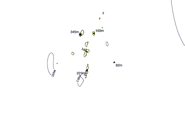
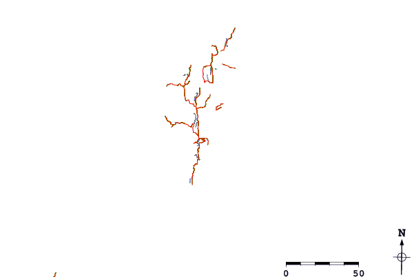
| Contours: | Roads & Rivers: | Select a
tide station / surf break / city |
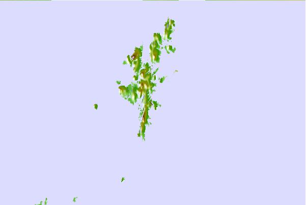
Use this relief map to navigate to tide stations, surf breaks and cities that are in the area of Lerwick, Shetland Islands, Scotland.
Other Nearby Locations' tide tables and tide charts to Lerwick, Shetland Islands, Scotland:
click location name for more details
 Surf breaks close to Lerwick, Shetland Islands, Scotland:
|
||
|---|---|---|
| Closest surf break | Mill Bay | 88 mi |
| Second closest surf break | Saviskaill Bay | 94 mi |
| Third closest surf break | Birsay Bay | 104 mi |
| Fourth closest surf break | Bay of Skaill | 108 mi |
| Fifth closest surf break | Grim Ness | 111 mi |


 Nearest
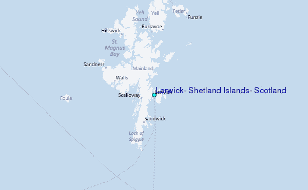