
| Distance / Altitude | Location | Report Date / Time | Live Weather | Wind | Gusts | Temp. | Visibility | Cloud |
|---|---|---|---|---|---|---|---|---|
| 30 km S / 5 m | Saint -Laurent (France) | 2025-12-26 03:00 local (2025/12/26 06:00 GMT) | no report | - (- km/h at -) | 24°C | - | - | |
| 137 km SW / 469 m | Johan A. Pengel Airport (Suriname) | 2025-12-26 04:00 local (2025/12/26 07:00 GMT) | - | calm (0 km/h at 0) | 23°C | 10.0 | few | |
| 155 km ESE / 9 m | Cayenne (French Guiana) | 2025-12-26 03:00 local (2025/12/26 06:00 GMT) | no report | calm (0 km/h at 270) | 26°C | - | - | |
| 205 km ESE / 9 m | Cayenne Matoury (France) | 2025-12-26 03:00 local (2025/12/26 06:00 GMT) | no report | calm (4 km/h at 360) | 24°C | 30 | - - - | |
| 205 km ESE / 211 m | Cayenne/Rochambeau Airport (Guiana) | 2025-12-26 03:30 local (2025/12/26 06:30 GMT) | - | calm (4 km/h at 220) | 24°C | 10.0 | ||
| 213 km ESE / 90 m | St Hilaire du Rorota (French Guiana) | 2025-12-26 04:00 local (2025/12/26 07:00 GMT) | - | light winds from the SSE (19 km/h at 164) | 24°C | - | - - 0 | |
| 235 km S / 3 m | Maripasoula (French Guiana) | 2025-12-26 03:00 local (2025/12/26 06:00 GMT) | no report | - (- km/h at -) | 23°C | - | - | |
| 316 km SE / 7 m | Saint Georges (France) | 2025-12-26 03:00 local (2025/12/26 06:00 GMT) | no report | - (- km/h at -) | 24°C | - | - - - | |
| 320 km SE / 251 m | Oiapoque Airport (Brazil) | 2025-12-26 03:00 local (2025/12/26 06:00 GMT) | - | calm (2 km/h at 1) | 22°C | 10.0 | few | |
| 369 km NW / 15 m | SHIP2177 (Marine) | 2025-12-26 03:00 local (2025/12/26 06:00 GMT) | fresh winds from the NE (31.680000000000003 km/h at 50) | 28°C | 17.7 km |
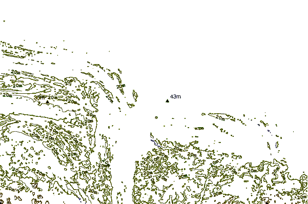
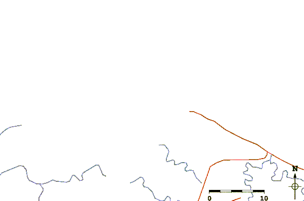
| Contours: | Roads & Rivers: | Select a
tide station / surf break / city |
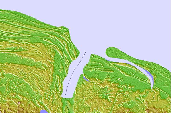
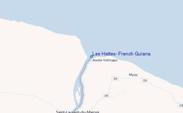
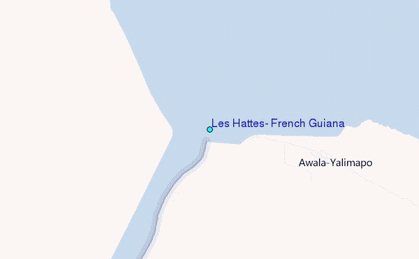
Use this relief map to navigate to tide stations, surf breaks and cities that are in the area of Les Hattes, French Guiana.
Other Nearby Locations' tide tables and tide charts to Les Hattes, French Guiana:
click location name for more details
 Surf breaks close to Les Hattes, French Guiana:
|
||
|---|---|---|
| Closest surf break | Saint Joseph (Iles du Salut) | 100 mi |
| Second closest surf break | Ilet du Novotel | 127 mi |
| Third closest surf break | Anse de Rémire (L'apcat) | 132 mi |
| Fourth closest surf break | Mahury | 133 mi |
| Fifth closest surf break | La Mère | 137 mi |


 Nearest
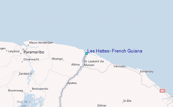