
| Distance / Altitude | Location | Report Date / Time | Live Weather | Wind | Gusts | Temp. | Visibility | Cloud |
|---|---|---|---|---|---|---|---|---|
| 33 km NNE / 46 m | Scow Bay wx (United States) | 2026-06-30 16:26 local (2026/07/01 00:26 GMT) | dry | calm (0 km/h at 45) | 16°C | - | - - 0 | |
| 38 km N / 3 m | SHIP6492 (Marine) | 2026-06-30 16:00 local (2026/07/01 00:00 GMT) | light winds from the ENE (8 km/h at 60) | 14°C | - | |||
| 40 km NNE / 216 m | Petersburg Airport (Alaska) | 2026-06-30 15:56 local (2026/06/30 23:56 GMT) | Dry and cloudy | wind obs. (11 kph from 40 degs) was rejected (- km/h at -) | 15°C | 16 | overcast | |
| 44 km E / 3 m | BUOY-WGXA2 (Marine) | 2026-06-30 17:02 local (2026/07/01 01:02 GMT) | calm (4 km/h at 310) | 14°C | - | |||
| 45 km E / 215 m | Wrangell Airport (Alaska) | 2026-06-30 15:56 local (2026/06/30 23:56 GMT) | Dry and partly cloudy | light winds from the NW (7 km/h at 310) | 14°C | 16 | scattered broken broken | |
| 38 km N / 15 m | SHIP7008 (Marine) | 2026-06-30 16:00 local (2026/07/01 00:00 GMT) | light winds from the N (9.360000000000001 km/h at 10) | — | - km | |||
| 40 km NNE / 216 m | Petersburg Airport (Alaska) | 2026-06-30 15:56 local (2026/06/30 23:56 GMT) | Dry and cloudy | wind obs. (11 kph from 40 degs) was rejected (- km/h at -) | 15°C | 16 | overcast | |
| 44 km E / 3 m | BUOY-WGXA2 (Marine) | 2026-06-30 17:02 local (2026/07/01 01:02 GMT) | calm (4 km/h at 310) | 14°C | - | |||
| 45 km E / 215 m | Wrangell Airport (Alaska) | 2026-06-30 15:56 local (2026/06/30 23:56 GMT) | Dry and partly cloudy | light winds from the NW (7 km/h at 310) | 14°C | 16 | scattered broken broken | |
| 52 km SSE / 3 m | BUOY-LCNA2 (Marine) | 2026-06-30 16:10 local (2026/07/01 00:10 GMT) | light winds from the WNW (13 km/h at 290) | 18°C | - |
| Contours: | Roads & Rivers: | Select a
tide station / surf break / city |
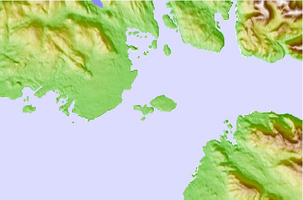
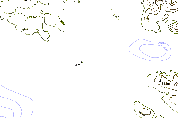
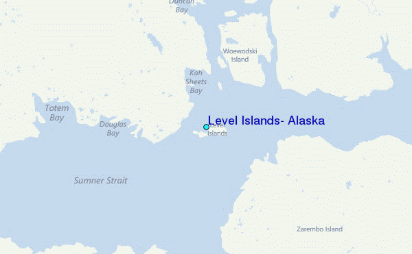
Use this relief map to navigate to tide stations, surf breaks and cities that are in the area of Level Islands, Alaska.
Other Nearby Locations' tide tables and tide charts to Level Islands, Alaska:
click location name for more details
 Surf breaks close to Level Islands, Alaska:
|
||
|---|---|---|
| Closest surf break | Lepus Beach (Haida-Gwaii) | 159 mi |
| Second closest surf break | Tow Hill Beach | 173 mi |
| Third closest surf break | Cannon Beach | 322 mi |
| Fourth closest surf break | Graveyards | 325 mi |
| Fifth closest surf break | Ocean Cape | 326 mi |


 Nearest
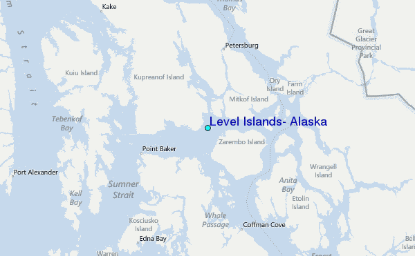