
| Distance / Altitude | Location | Report Date / Time | Live Weather | Wind | Gusts | Temp. | Visibility | Cloud |
|---|---|---|---|---|---|---|---|---|
| 23 km W / 87 m | LhokseumaweMalikussaleh (Indonesia) | 2025-12-26 06:00 local (2025/12/25 23:00 GMT) | - | light winds from the SSW (6 km/h at 210) | 23°C | 26 km | mostly cloudy | |
| 196 km W / 21 m | BandaAcehBlangBintang (Indonesia) | 2025-12-26 06:00 local (2025/12/25 23:00 GMT) | - | light winds from the SE.(Wind varies from 110 to 170 degs) (9 km/h at 140) | 23°C | 10.0 | few scattered - | |
| 246 km SE / 215 m | Medan/Polonia Airport (Indonesia) | 2025-12-26 06:40 local (2025/12/25 23:40 GMT) | Light rain | light winds from the ENE (11 km/h at 60) | 25°C | 9.0 | broken | |
| 257 km SE / 25 m | KualanamuMedan (Indonesia) | 2025-12-26 06:00 local (2025/12/25 23:00 GMT) | - | light winds from the WSW (7 km/h at 240) | 25°C | 27 km | - mostly cloudy - | |
| 291 km W / 15 m | SHIP7912 (Marine) | 2025-12-26 05:00 local (2025/12/25 22:00 GMT) | strong winds from the NE (46.440000000000005 km/h at 50) | 28°C | 17.7 km | |||
| 291 km W / 15 m | SHIP8094 (Marine) | 2025-12-26 05:00 local (2025/12/25 22:00 GMT) | strong winds from the NE (46.440000000000005 km/h at 50) | 28°C | 17.7 km | |||
| 291 km W / 15 m | SHIP4104 (Marine) | 2025-12-26 05:00 local (2025/12/25 22:00 GMT) | strong winds from the NE (46.440000000000005 km/h at 50) | 28°C | 17.7 km | |||
| 311 km ENE / 217 m | Langkawi International Airport (Malaysia) | 2025-12-26 06:00 local (2025/12/25 23:00 GMT) | Dry and partly cloudy | light winds from the NE.(Wind varies from 360 to 100 degs) (7 km/h at 40) | 26°C | 10.0 | few scattered scattered | |
| 329 km NNE / 3 m | Phuket (Thailand) | 2025-12-26 06:00 local (2025/12/25 23:00 GMT) | no report | wind obs. (11 kph from 280 degs) was rejected (- km/h at -) | 29°C | - | - no observation - | |
| 334 km NE / 7 m | KOLanta (Thailand) | 2025-12-26 06:00 local (2025/12/25 23:00 GMT) | no report | wind obs. (17 kph from 300 degs) was rejected (- km/h at -) | 29°C | - | - no observation - |
| Contours: | Roads & Rivers: | Select a
tide station / surf break / city |
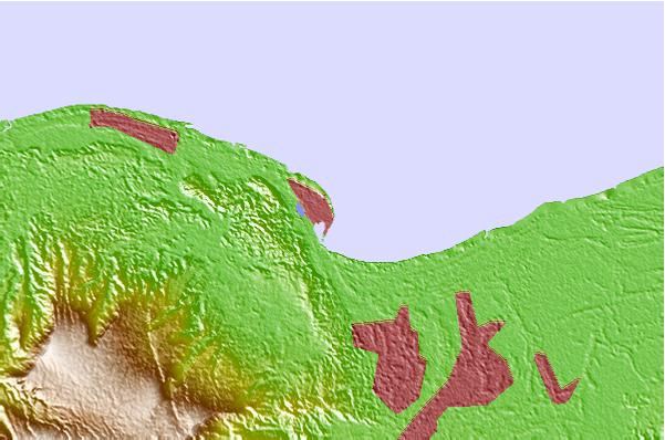
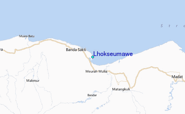
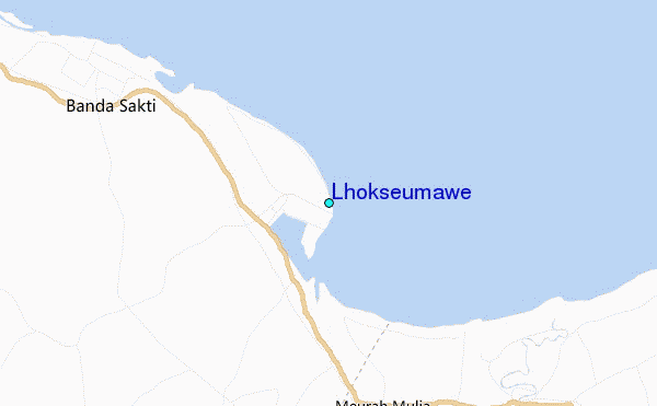
Use this relief map to navigate to tide stations, surf breaks and cities that are in the area of Lhokseumawe.
Other Nearby Locations' tide tables and tide charts to Lhokseumawe:
click location name for more details
 Surf breaks close to Lhokseumawe:
|
||
|---|---|---|
| Closest surf break | Cenang Beach (The Cliff) | 193 mi |
| Second closest surf break | Tengah Beach (Bank Negara) | 193 mi |
| Third closest surf break | Nai Harn Beach | 196 mi |
| Fourth closest surf break | Kata Noi | 198 mi |
| Fifth closest surf break | Kata Beach | 199 mi |


 Nearest
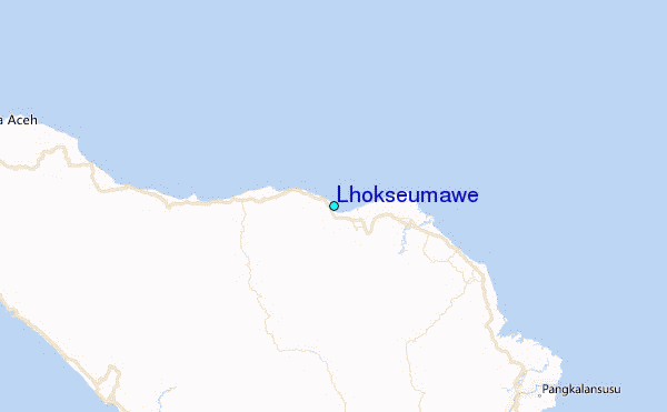