
| Distance / Altitude | Location | Report Date / Time | Live Weather | Wind | Gusts | Temp. | Visibility | Cloud |
|---|---|---|---|---|---|---|---|---|
| 8 km NW / 218 m | Libreville/Leon M'Ba Airport (Gabon) | 2025-12-26 00:00 local (2025/12/25 23:00 GMT) | no report | wind obs. (7 kph from 140 degs) was rejected (- km/h at -) | 25°C | 10 | few - - | |
| 142 km S / 4 m | Port Gentil (Gabon) | 2025-12-25 23:00 local (2025/12/25 22:00 GMT) | no report | light winds from the SSW (19 km/h at 200) | 27°C | 8 | - | |
| 142 km S / 33 m | Port Gentil Airport (Gabon) | 2025-12-26 00:00 local (2025/12/25 23:00 GMT) | no report | light winds from the SSW (19 km/h at 200) | 27°C | 8 | scattered - - | |
| 145 km S / 18 m | 1563 (Gabon) | 2025-12-26 00:00 local (2025/12/25 23:00 GMT) | - | moderate winds from the S (28 km/h at 174) | — | - | - - 0 | |
| 150 km SE / 79 m | Lambarene Airport (Gabon) | 2025-12-26 00:00 local (2025/12/25 23:00 GMT) | no report | - (- km/h at -) | — | 9 | - | |
| 173 km NNE / 560 m | Bata (Rio Muni) (Equatorial Guinea) | 2025-12-26 00:00 local (2025/12/25 23:00 GMT) | no report | light winds from the S (15 km/h at 180) | 29°C | 8 | - | |
| 272 km ENE / 552 m | Oyem (Woleu-Ntem) (Gabon) | 2025-12-26 00:00 local (2025/12/25 23:00 GMT) | no report | - (- km/h at -) | 25°C | 10 | - | |
| 305 km SE / 89 m | Mouila (Gabon) | 2025-12-26 00:00 local (2025/12/25 23:00 GMT) | fog, sky visible, thinning | - (- km/h at -) | — | 1000 | - - - | |
| 380 km N / 611 m | Malabo/Fernando Poo Airport (Equatorial Guinea) | 2025-12-26 00:00 local (2025/12/25 23:00 GMT) | state of sky unchanged | light winds from the SW (11 km/h at 220) | 30°C | 10 | scattered - - | |
| 389 km ESE / 483 m | Lastourville (Gabon) | 2025-12-26 00:00 local (2025/12/25 23:00 GMT) | state of sky unchanged | - (- km/h at -) | 25°C | 10 | - - - |
| Contours: | Roads & Rivers: | Select a
tide station / surf break / city |
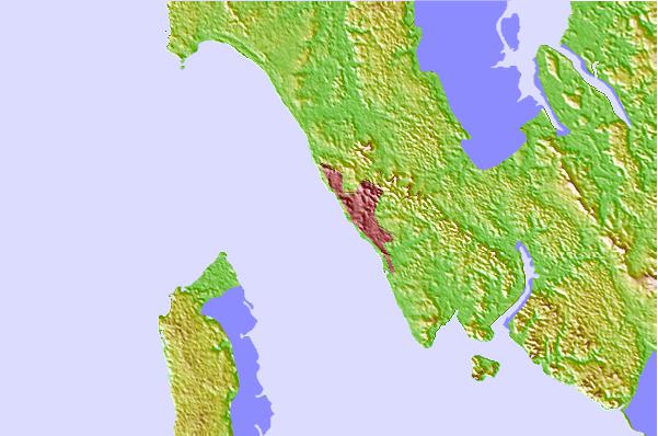
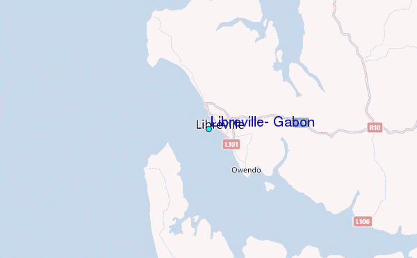
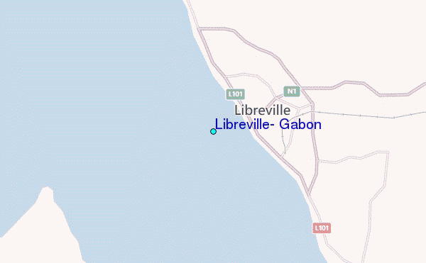
Use this relief map to navigate to tide stations, surf breaks and cities that are in the area of Libreville, Gabon.
Other Nearby Locations' tide tables and tide charts to Libreville, Gabon:
click location name for more details
 Surf breaks close to Libreville, Gabon:
|
||
|---|---|---|
| Closest surf break | Gueque | 3 mi |
| Second closest surf break | Ngombe | 11 mi |
| Third closest surf break | Ferme aux Crocos | 13 mi |
| Fourth closest surf break | Palplanche | 86 mi |
| Fifth closest surf break | Cap Lopez | 86 mi |


 Nearest
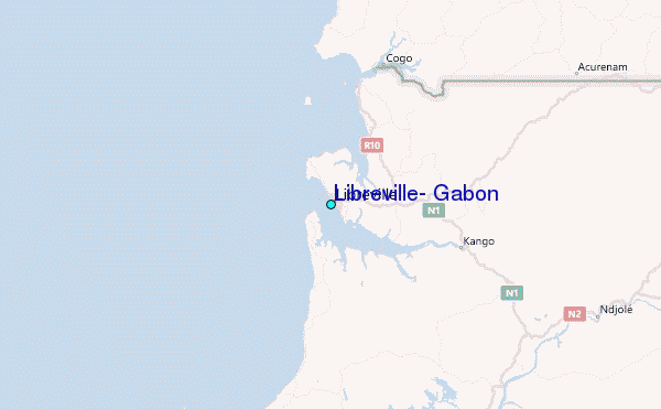