
| Distance / Altitude | Location | Report Date / Time | Live Weather | Wind | Gusts | Temp. | Visibility | Cloud |
|---|---|---|---|---|---|---|---|---|
| 12 km WNW / 34 m | Lima Jorge Chávez International Airport (Peru) | 2025-12-25 02:00 local (2025/12/25 07:00 GMT) | Dry and partly cloudy | light winds from the S (13 km/h at 180) | 20°C | 8.0 | broken | |
| 12 km ENE / 361 m | La Molina wx (Peru) | 2025-12-25 01:35 local (2025/12/25 06:35 GMT) | dry | calm (0 km/h at 91) | 19°C | - | - - 0 | |
| 201 km SSE / 211 m | Pisco Airport (Peru) | 2025-12-25 02:00 local (2025/12/25 07:00 GMT) | Dry and partly cloudy | light winds from the SE (6 km/h at 130) | 18°C | 8.0 | no significant cloud clear - | |
| 423 km ENE / 373 m | lightning 164km SW of Marechal Thaumaturgo (Brazil) | 2025-12-25 00:32 local (2025/12/25 05:32 GMT) | Thunderstorm | (- km/h at -) | — | |||
| 489 km NNE / 22 m | Pucallpa Airport (Peru) | 2025-12-25 02:00 local (2025/12/25 07:00 GMT) | Dry and partly cloudy | light winds from the NE (11 km/h at 50) | 26°C | 10.0 | scattered scattered | |
| 494 km NNE / 149 m | Pucallpa (Peru) | 2025-12-25 01:00 local (2025/12/25 06:00 GMT) | Clouds developing | light winds from the NNE (9 km/h at 30) | 26°C | 30 km | mostly cloudy | |
| 494 km NW / 215 m | Trujillo Airport (Peru) | 2025-12-25 02:00 local (2025/12/25 07:00 GMT) | Dry and partly cloudy | light winds from the SSE (11 km/h at 150) | 18°C | 6.0 | no significant cloud | |
| 498 km NW / 30 m | Trujillo(84501-0) (Peru) | 2025-12-25 01:00 local (2025/12/25 06:00 GMT) | Mist | light winds from the SSE (9 km/h at 150) | 18°C | 27 km | clear | |
| 575 km ESE / 3533 m | Cuzco/Velazco Astete Airport (Peru) | 2025-12-25 02:00 local (2025/12/25 07:00 GMT) | Light rain | light winds from the SW.(Wind varies from 200 to 260 degs) (7 km/h at 230) | 8°C | 10.0 | scattered broken | |
| 578 km ESE / 3249 m | Cuzco (Peru) | 2025-12-25 01:00 local (2025/12/25 06:00 GMT) | Continuous light rain | wind obs. (11 kph from 310 degs) was rejected (- km/h at -) | 8°C | 30 km | overcast |
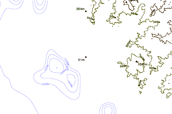
| Contours: | Roads & Rivers: | Select a
tide station / surf break / city |
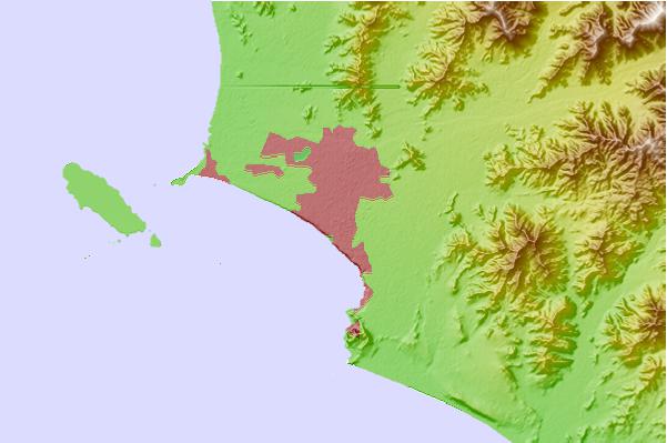
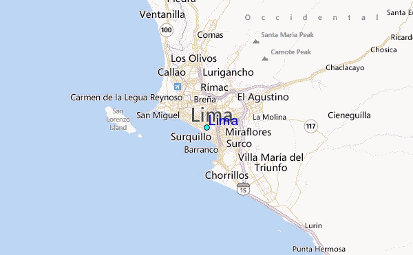
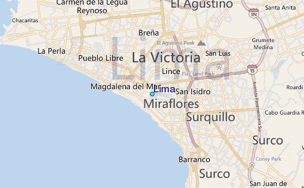
Use this relief map to navigate to tide stations, surf breaks and cities that are in the area of Lima.
Other Nearby Locations' tide tables and tide charts to Lima:
click location name for more details
 Surf breaks close to Lima:
|
||
|---|---|---|
| Closest surf break | Punta Roquitas | 1 mi |
| Second closest surf break | Makaha | 1 mi |
| Third closest surf break | Pampilla | 1 mi |
| Fourth closest surf break | Waikiki | 1 mi |
| Fifth closest surf break | Redondo | 2 mi |


 Nearest
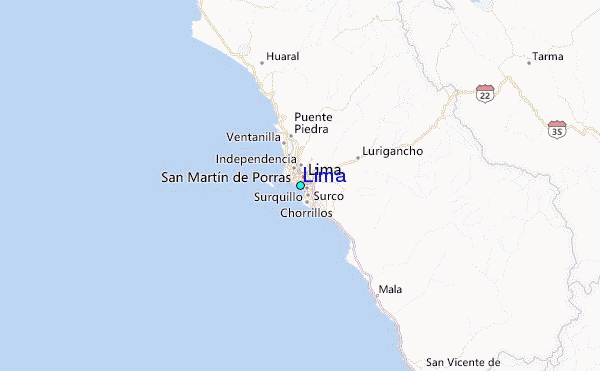