
| Distance / Altitude | Location | Report Date / Time | Live Weather | Wind | Gusts | Temp. | Visibility | Cloud |
|---|---|---|---|---|---|---|---|---|
| 6 km W / 10 m | Brooklyn wx (United States) | 2026-07-25 23:44 local (2026/07/26 03:44 GMT) | - | calm (0 km/h at 0) | — | - | - - 0 | |
| 7 km NNE / 10 m | Gilmore wx (United States) | 2026-07-25 22:22 local (2026/07/26 02:22 GMT) | dry | - (- km/h at ) | — | - | - - 0 | |
| 7 km N / 10 m | Jacksonville (Florida) | 2026-07-25 23:23 local (2026/07/26 03:23 GMT) | dry | calm (0 km/h at 277) | 26°C | - | - - 0 | |
| 9 km ENE / 218 m | Jacksonville/Craig Municipal Airport (Florida) | 2026-07-25 21:53 local (2026/07/26 01:53 GMT) | Clear | light winds from the WSW (7 km/h at 240) | 26°C | 16 | ||
| 10 km N / 3 m | SHIP1019 (Marine) | 2026-07-25 21:00 local (2026/07/26 01:00 GMT) | - (- km/h at -) | 26°C | - | |||
| 10 km NW / 4 m | Lake Forest Manor wx (United States) | 2026-07-25 23:28 local (2026/07/26 03:28 GMT) | dry | calm (3 km/h at 225) | 26°C | - | - - 0 | |
| 10 km N / 15 m | SHIP2759 (Marine) | 2026-07-25 21:00 local (2026/07/26 01:00 GMT) | - (- km/h at -) | — | - km | |||
| 10 km N / 3 m | SHIP735 (Marine) | 2026-07-25 23:00 local (2026/07/26 03:00 GMT) | - (- km/h at -) | 25°C | - | |||
| 10 km N / 3 m | SHIP5195 (Marine) | 2026-07-25 21:00 local (2026/07/26 01:00 GMT) | - (- km/h at -) | 26°C | - | |||
| 10 km N / 15 m | SHIP6702 (Marine) | 2026-07-25 22:00 local (2026/07/26 02:00 GMT) | - (- km/h at -) | — | - km |
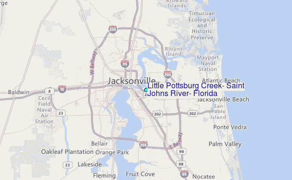
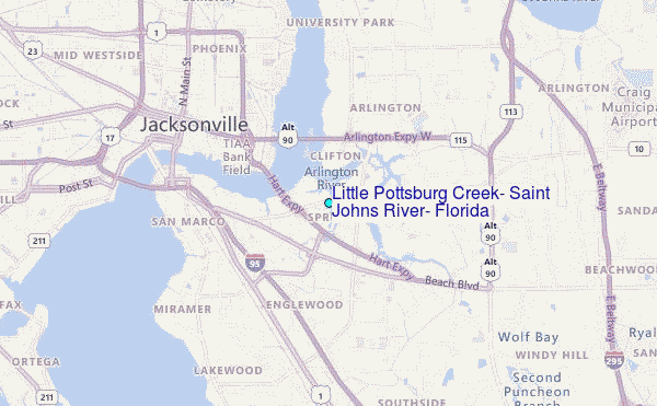
Choose Little Pottsburg Creek, Saint Johns River, Florida Location Map Zoom:
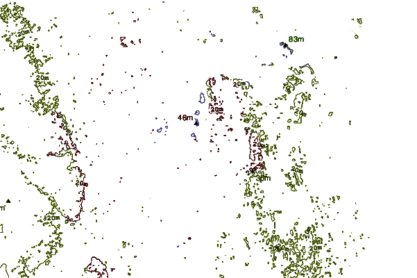
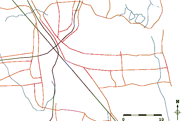
| Contours: | Roads & Rivers: | Select a
tide station / surf break / city |
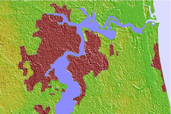
Use this relief map to navigate to tide stations, surf breaks and cities that are in the area of Little Pottsburg Creek, Saint Johns River, Florida.
Other Nearby Locations' tide tables and tide charts to Little Pottsburg Creek, Saint Johns River, Florida:
click location name for more details
 Surf breaks close to Little Pottsburg Creek, Saint Johns River, Florida:
|
||
|---|---|---|
| Closest surf break | Jax Beach Pier | 13 mi |
| Second closest surf break | 7th Avenue | 13 mi |
| Third closest surf break | Fluidgroove Reef | 14 mi |
| Fourth closest surf break | Hanna Park/Mayport Poles | 14 mi |
| Fifth closest surf break | Ponte Vedra | 14 mi |


 Nearest
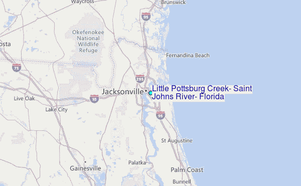