
| Distance / Altitude | Location | Report Date / Time | Live Weather | Wind | Gusts | Temp. | Visibility | Cloud |
|---|---|---|---|---|---|---|---|---|
| 2 km SE / 20 m | Santa Cruz (California) | 2025-12-25 00:44 local (2025/12/25 08:44 GMT) | dry | light winds from the SE (6 km/h at 127) | 15°C | - | - - 0 | |
| 2 km E / 10.1 m | Soquel (California) | 2025-12-25 00:01 local (2025/12/25 08:01 GMT) | dry | calm (3 km/h at 108) | 14°C | - | - - 0 | |
| 2 km ESE / 25 m | Capitola (California) | 2025-12-24 23:28 local (2025/12/25 07:28 GMT) | dry | calm (0 km/h at 153) | — | - | - - 0 | |
| 3 km WNW / 6 m | Santa Cruz (California) | 2025-12-24 23:11 local (2025/12/25 07:11 GMT) | dry | calm (2 km/h at 176) | 13°C | - | - - 0 | |
| 3 km WSW / 16 m | Santa Cruz wx (United States) | 2025-12-25 00:09 local (2025/12/25 08:09 GMT) | dry | calm (0 km/h at 0) | 14°C | - | - - 0 | |
| 3 km SSE / 10 m | Santa Cruz (California) | 2025-12-24 23:44 local (2025/12/25 07:44 GMT) | dry | wind obs. (11 kph from 74 degs) was rejected (- km/h at -) | 14°C | - | - - 0 | |
| 3 km SE / 15 m | Santa Cruz (California) | 2025-12-25 00:27 local (2025/12/25 08:27 GMT) | dry | - (- km/h at ) | — | - | - - 0 | |
| 4 km ENE / 61 m | Cliftwood Mobile Home Park wx (United States) | 2025-12-25 00:43 local (2025/12/25 08:43 GMT) | dry | calm (5 km/h at 140) | 13°C | - | - - 0 | |
| 7 km SW / 18 m | Santa Cruz (California) | 2025-12-25 00:39 local (2025/12/25 08:39 GMT) | dry | strong winds from the S (48 km/h at 180) | 16°C | - | - - 0 | |
| 7 km SW / 20 m | Santa Cruz (California) | 2025-12-25 00:29 local (2025/12/25 08:29 GMT) | dry | moderate winds from the SE (23 km/h at 129) | 16°C | - | - - 0 |
| Contours: | Roads & Rivers: | Select a
tide station / surf break / city |
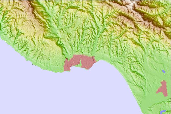
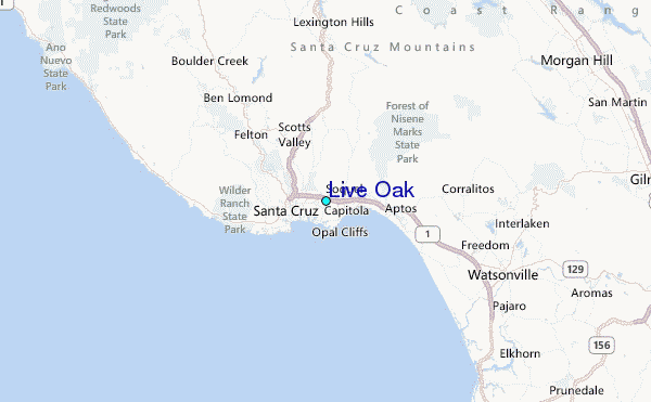
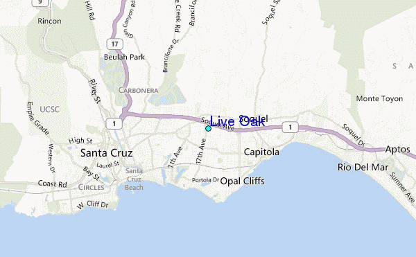
Use this relief map to navigate to tide stations, surf breaks and cities that are in the area of Live Oak.
Other Nearby Locations' tide tables and tide charts to Live Oak:
click location name for more details
 Surf breaks close to Live Oak:
|
||
|---|---|---|
| Closest surf break | Beer Can Beach | 2 mi |
| Second closest surf break | Capitola Jetty | 2 mi |
| Third closest surf break | Capitola Rivermouth | 2 mi |
| Fourth closest surf break | Pleasure Point-First Peak | 2 mi |
| Fifth closest surf break | Pleasure Point-Insides | 2 mi |


 Nearest
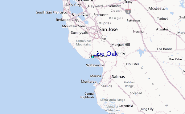