
| Distance / Altitude | Location | Report Date / Time | Live Weather | Wind | Gusts | Temp. | Visibility | Cloud |
|---|---|---|---|---|---|---|---|---|
| 4 km NW / 219 m | Quantico Marine Corps Air Facility Airport (Virginia) | 2026-03-19 18:56 local (2026/03/19 22:56 GMT) | Clear | light winds from the S (13 km/h at 180) | 12°C | 16 | ||
| 18 km SW / 217 m | Stafford Regional Airport (Virginia) | 2026-03-19 20:35 local (2026/03/20 00:35 GMT) | Clear | calm (0 km/h at 0) | 10°C | 16 | ||
| 26 km SE / 3 m | BUOY-NCDV2 (Marine) | 2026-03-19 20:30 local (2026/03/20 00:30 GMT) | light winds from the SE (17 km/h at 130) | 8°C | - | |||
| 27 km SSW / 219 m | Fredericksburg/Shannon Airport (Virginia) | 2026-03-19 20:35 local (2026/03/20 00:35 GMT) | Clear | light winds from the ESE (9 km/h at 120) | 10°C | 16 | ||
| 29 km NNE / 218 m | Fort Belvoir/Davison Airport (Virginia) | 2026-03-19 19:55 local (2026/03/19 23:55 GMT) | Clear | light winds from the SSE (6 km/h at 150) | 11°C | 16 | ||
| 35 km WNW / 206 m | Manassas Municipal Airport (Virginia) | 2026-03-19 19:56 local (2026/03/19 23:56 GMT) | Clear | light winds from the SSE (9 km/h at 150) | 10°C | 16 | ||
| 41 km W / 103 m | Warrenton Airport (Virginia) | 2026-03-19 20:35 local (2026/03/20 00:35 GMT) | Clear | calm (0 km/h at 0) | 6°C | 16 | ||
| 42 km WNW / 108 m | Greenville wx (United States) | 2026-03-19 19:45 local (2026/03/19 23:45 GMT) | dry | calm (0 km/h at 162) | 11°C | - | - - 0 | |
| 47 km WSW / 90 m | Remington (Virginia) | 2026-03-19 20:08 local (2026/03/20 00:08 GMT) | dry | calm (0 km/h at 199) | 6°C | - | - - 0 | |
| 47 km NNE / 218 m | Washington/National Airport (Washington D.c.) | 2026-03-19 19:52 local (2026/03/19 23:52 GMT) | Dry and partly cloudy | light winds from the S (15 km/h at 190) | 11°C | 16 | few scattered |
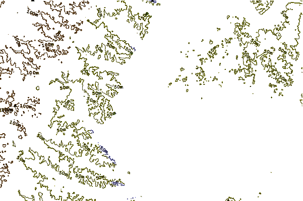
| Contours: | Roads & Rivers: | Select a
tide station / surf break / city |
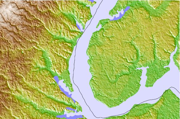
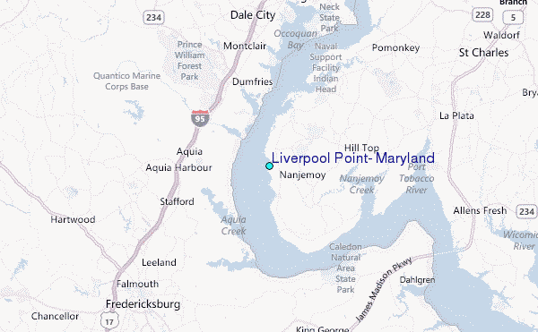
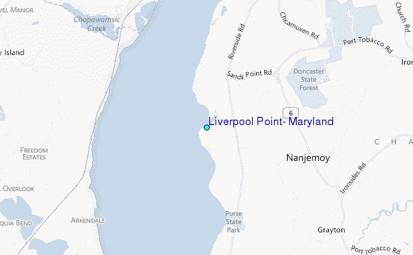
Use this relief map to navigate to tide stations, surf breaks and cities that are in the area of Liverpool Point, Maryland.
Other Nearby Locations' tide tables and tide charts to Liverpool Point, Maryland:
click location name for more details
 Surf breaks close to Liverpool Point, Maryland:
|
||
|---|---|---|
| Closest surf break | Grandview | 110 mi |
| Second closest surf break | Out Front | 112 mi |
| Third closest surf break | Chincoteague | 112 mi |
| Fourth closest surf break | Assateague | 116 mi |
| Fifth closest surf break | Outside Shoals | 117 mi |


 Nearest
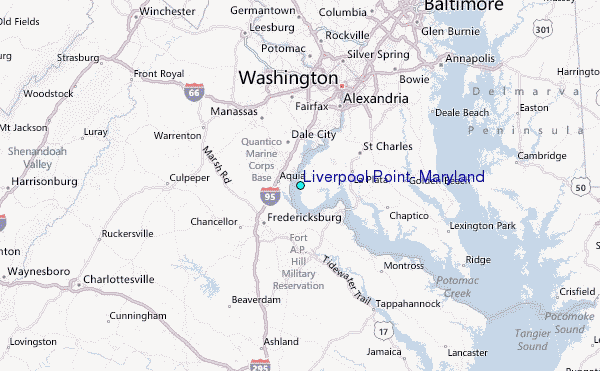