
| Distance / Altitude | Location | Report Date / Time | Live Weather | Wind | Gusts | Temp. | Visibility | Cloud |
|---|---|---|---|---|---|---|---|---|
| 6 km SSE / 19 m | Pointe -Noire (Republic of the Congo) | 2025-12-25 12:00 local (2025/12/25 11:00 GMT) | no report | light winds from the S (15 km/h at 180) | 26°C | 8 | - - - | |
| 8 km SE / 215 m | Pointe Noire Airport (Congo/zaire) | 2025-12-25 12:00 local (2025/12/25 11:00 GMT) | Dry and partly cloudy | light winds from the SW.(Wind varies from 190 to 250 degs) (17 km/h at 230) | 29°C | 10.0 | scattered few | |
| 92 km SSE / 20 m | Cabinda Airport (Angola) | 2025-12-25 12:00 local (2025/12/25 11:00 GMT) | - | light winds from the W.(Wind varies from 230 to 290 degs) (19 km/h at 260) | 29°C | 10.0 | few | |
| 112 km ENE / 331 m | Dolisie (Republic of the Congo) | 2025-12-25 12:00 local (2025/12/25 11:00 GMT) | no report | - (- km/h at -) | 26°C | 8 | - | |
| 164 km NNE / 7 m | Makabana (Congo) | 2025-12-25 12:00 local (2025/12/25 11:00 GMT) | no report | calm (4 km/h at 360) | 25°C | 9 | - | |
| 204 km NE / 29 m | Sibiti (Congo) | 2025-12-25 12:00 local (2025/12/25 11:00 GMT) | no report | wind obs. (7 kph from 360 degs) was rejected (- km/h at -) | 22°C | 6 | - | |
| 243 km ENE / 17 m | Mouyondzi (Congo) | 2025-12-25 12:00 local (2025/12/25 11:00 GMT) | mist | calm (4 km/h at 280) | 23°C | 3000 | - | |
| 333 km NW / 89 m | Mouila (Gabon) | 2025-12-25 12:00 local (2025/12/25 11:00 GMT) | fog, sky visible, thinning | - (- km/h at -) | — | 1000 | - - - | |
| 381 km E / 316 m | Brazzaville /Maya -Maya (Republic of the Congo) | 2025-12-25 12:00 local (2025/12/25 11:00 GMT) | mist | wind obs. (7 kph from 280 degs) was rejected (- km/h at -) | 24°C | 4600 | - - - | |
| 381 km E / 707 m | Brazzaville/Maya-Maya Airport (Congo/zaire) | 2025-12-25 12:00 local (2025/12/25 11:00 GMT) | Dry and partly cloudy | light winds from the S.(Wind varies from 110 to 230 degs) (7 km/h at 180) | 32°C | 8.0 | scattered |
| Contours: | Roads & Rivers: | Select a
tide station / surf break / city |
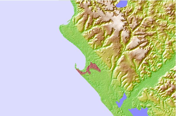
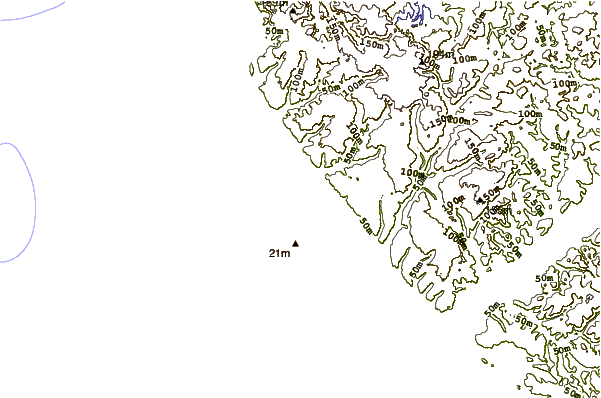
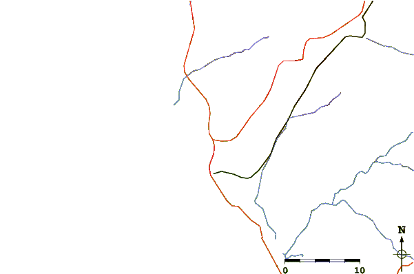
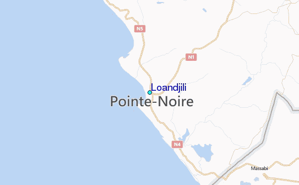
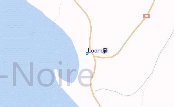
Use this relief map to navigate to tide stations, surf breaks and cities that are in the area of Loandjili.
Other Nearby Locations' tide tables and tide charts to Loandjili:
click location name for more details
 Surf breaks close to Loandjili:
|
||
|---|---|---|
| Closest surf break | Le Piege | 2 mi |
| Second closest surf break | Cote Sauvage | 4 mi |
| Third closest surf break | Ambriz Point | 229 mi |
| Fourth closest surf break | Chicala | 296 mi |
| Fifth closest surf break | Mussulo | 298 mi |


 Nearest
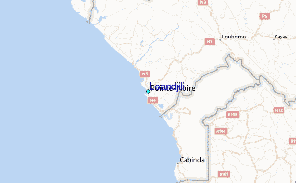