
| Distance / Altitude | Location | Report Date / Time | Live Weather | Wind | Gusts | Temp. | Visibility | Cloud |
|---|---|---|---|---|---|---|---|---|
| 11 km WSW / 25 m | Lome (Togo) | 2026-03-27 00:00 local (2026/03/27 00:00 GMT) | no report | light winds from the WSW (11 km/h at 240) | 30°C | 10 | - | |
| 11 km WSW / 213 m | Lome/Tokoin Airport (Togo) | 2026-03-27 00:00 local (2026/03/27 00:00 GMT) | - | light winds from the SW (15 km/h at 220) | 28°C | 10.0 | few | |
| 48 km NNE / 32 m | Tabligbo (Togo) | 2026-03-27 00:00 local (2026/03/27 00:00 GMT) | no report | - (- km/h at -) | 26°C | 10 | - | |
| 61 km WSW / 2 m | Akatsi (Ghana) | 2026-03-27 00:00 local (2026/03/27 00:00 GMT) | - | calm (0 km/h at 0) | 27°C | 32 km | scattered | |
| 114 km E / 213 m | Cotonou/Cadjehoun Airport (Benin) | 2026-03-27 00:00 local (2026/03/27 00:00 GMT) | - | light winds from the SW (13 km/h at 220) | 29°C | 10.0 | few | |
| 121 km WNW / 641 m | Kouma -Konda (Togo) | 2026-03-27 00:00 local (2026/03/27 00:00 GMT) | fog, sky visible, thinning | - (- km/h at -) | 22°C | 700 | - | |
| 136 km NE / 167 m | Bohicon (Benin) | 2026-03-27 00:00 local (2026/03/27 00:00 GMT) | - | calm (4 km/h at 260) | 26°C | 28 km | - mostly cloudy - | |
| 137 km WSW / 2 m | Akuse (Ghana) | 2026-03-27 00:00 local (2026/03/27 00:00 GMT) | - | calm (0 km/h at 0) | 27°C | 32 km | mostly cloudy | |
| 151 km WSW / 90 m | Somanya USED (Ghana) | 2026-03-27 01:00 local (2026/03/27 01:00 GMT) | - | calm (2 km/h at 155) | 25°C | - | - - 0 | |
| 162 km SW / 4 m | Tema (Ghana) | 2026-03-27 00:00 local (2026/03/27 00:00 GMT) | - | light winds from the SW (7 km/h at 230) | 28°C | 30 km | few |
| Contours: | Roads & Rivers: | Select a
tide station / surf break / city |
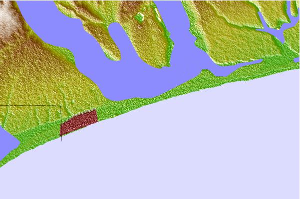
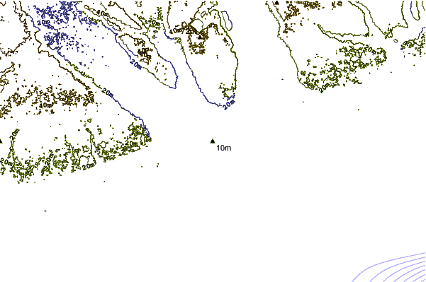
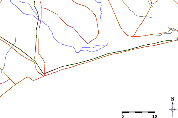
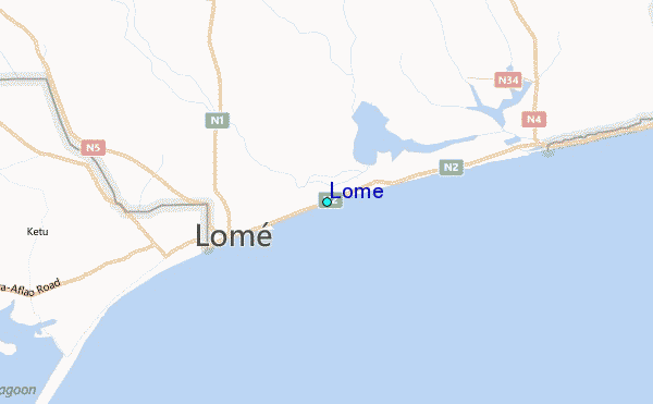
Use this relief map to navigate to tide stations, surf breaks and cities that are in the area of Lome.
Other Nearby Locations' tide tables and tide charts to Lome:
click location name for more details
 Surf breaks close to Lome:
|
||
|---|---|---|
| Closest surf break | Lome Rivage | 6 mi |
| Second closest surf break | Anecho Beach | 17 mi |
| Third closest surf break | Back Wash | 63 mi |
| Fourth closest surf break | La Routes des Pêches | 69 mi |
| Fifth closest surf break | La Meduse | 76 mi |


 Nearest
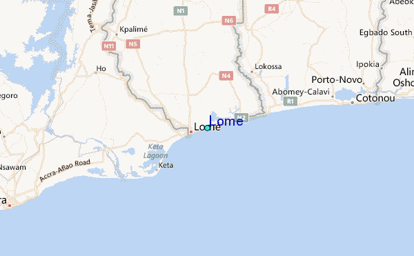