
| Distance / Altitude | Location | Report Date / Time | Live Weather | Wind | Gusts | Temp. | Visibility | Cloud |
|---|---|---|---|---|---|---|---|---|
| 5 km SE / 3 m | BUOY-PXAC1 (Marine) | 2025-12-26 01:00 local (2025/12/26 09:00 GMT) | light winds from the ESE (13 km/h at 120) | — | - | |||
| 7 km ESE / 3 m | BUOY-BAXC1 (Marine) | 2025-12-26 01:00 local (2025/12/26 09:00 GMT) | moderate winds from the ESE (21 km/h at 120) | — | - | |||
| 8 km ESE / 3 m | BUOY-PSXC1 (Marine) | 2025-12-26 01:00 local (2025/12/26 09:00 GMT) | light winds from the SE (11 km/h at 140) | — | - | |||
| 9 km SE / 3 m | BUOY-PFDC1 (Marine) | 2025-12-26 01:00 local (2025/12/26 09:00 GMT) | moderate winds from the ESE (24 km/h at 120) | — | - | |||
| 9 km SSE / 3 m | BUOY-OHBC1 (Marine) | 2025-12-26 01:00 local (2025/12/26 09:00 GMT) | - (- km/h at -) | — | - | |||
| 10 km SE / 3 m | BUOY-AGXC1 (Marine) | 2025-12-26 01:00 local (2025/12/26 09:00 GMT) | fresh winds from the SSE (30 km/h at 150) | 18°C | - | |||
| 10 km ESE / 3 m | BUOY-PFXC1 (Marine) | 2025-12-26 01:00 local (2025/12/26 09:00 GMT) | moderate winds from the SSE (28 km/h at 150) | 17°C | - | |||
| 13 km ESE / 3 m | BUOY-PRJC1 (Marine) | 2025-12-26 01:00 local (2025/12/26 09:00 GMT) | moderate winds from the SE (26 km/h at 140) | — | - | |||
| 14 km N / 218 m | Hawthorne Airport (California) | 2025-12-25 23:53 local (2025/12/26 07:53 GMT) | Dry and cloudy | light winds from the SSE (11 km/h at 150) | 17°C | 16 | scattered overcast | |
| 15 km SE / 15 m | SHIP3410 (Marine) | 2025-12-25 23:00 local (2025/12/26 07:00 GMT) | - (- km/h at -) | — | - km |
| Contours: | Roads & Rivers: | Select a
tide station / surf break / city |
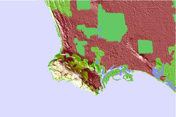
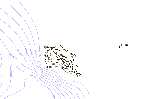
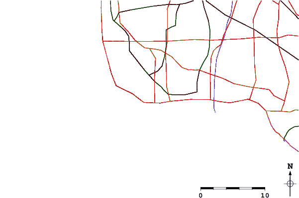
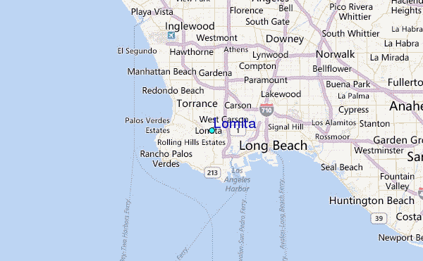
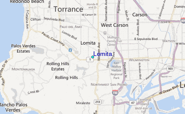
Use this relief map to navigate to tide stations, surf breaks and cities that are in the area of Lomita.
Other Nearby Locations' tide tables and tide charts to Lomita:
click location name for more details
 Surf breaks close to Lomita:
|
||
|---|---|---|
| Closest surf break | Abalone Cove | 5 mi |
| Second closest surf break | Burnout | 5 mi |
| Third closest surf break | Exiles | 5 mi |
| Fourth closest surf break | Haggerty's | 5 mi |
| Fifth closest surf break | Japs Cove | 5 mi |


 Nearest
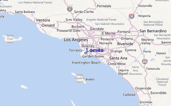