
| Distance / Altitude | Location | Report Date / Time | Live Weather | Wind | Gusts | Temp. | Visibility | Cloud |
|---|---|---|---|---|---|---|---|---|
| 21 km SW / 3 m | BUOY-PILL1 (Marine) | 2026-06-24 00:00 local (2026/06/24 05:00 GMT) | light winds from the WNW (18 km/h at 300) | 28°C | - | |||
| 21 km SSW / 15 m | SHIP1667 (Marine) | 2026-06-23 23:00 local (2026/06/24 04:00 GMT) | - (- km/h at -) | — | - km | |||
| 41 km NW / 0 m | lightning 53km NE of Port Sulphur (United States) | 2026-06-24 01:03 local (2026/06/24 06:03 GMT) | Thunderstorm | (- km/h at -) | — | |||
| 49 km SSW / 3 m | BUOY-PSTL1 (Marine) | 2026-06-24 00:00 local (2026/06/24 05:00 GMT) | moderate winds from the W (28 km/h at 260) | 29°C | - | |||
| 21 km SSW / 15 m | SHIP5428 (Marine) | 2026-06-23 23:00 local (2026/06/24 04:00 GMT) | - (- km/h at -) | — | - km | |||
| 21 km SSW / 3 m | SHIP2515 (Marine) | 2026-06-23 23:00 local (2026/06/24 04:00 GMT) | - (- km/h at -) | 29°C | - | |||
| 21 km SSW / 3 m | SHIP3985 (Marine) | 2026-06-23 23:00 local (2026/06/24 04:00 GMT) | - (- km/h at -) | 29°C | - | |||
| 21 km SSW / 3 m | SHIP2953 (Marine) | 2026-06-23 23:00 local (2026/06/24 04:00 GMT) | - (- km/h at -) | 29°C | - | |||
| 21 km SSW / 3 m | SHIP6594 (Marine) | 2026-06-23 23:00 local (2026/06/24 04:00 GMT) | - (- km/h at -) | 29°C | - | |||
| 21 km SSW / 3 m | SHIP412 (Marine) | 2026-06-23 23:00 local (2026/06/24 04:00 GMT) | - (- km/h at -) | 29°C | - |
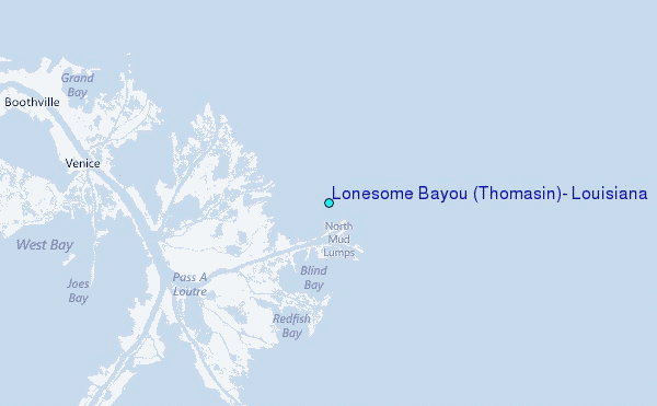
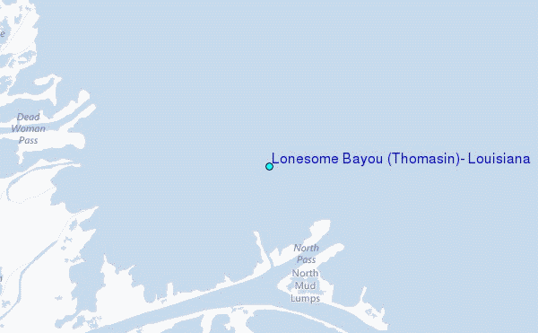
Choose Lonesome Bayou (Thomasin), Louisiana Location Map Zoom:
| Contours: | Roads & Rivers: | Select a
tide station / surf break / city |
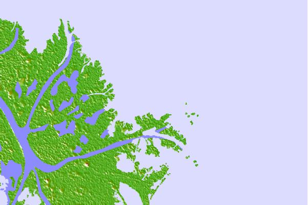
Use this relief map to navigate to tide stations, surf breaks and cities that are in the area of Lonesome Bayou (Thomasin), Louisiana.
Other Nearby Locations' tide tables and tide charts to Lonesome Bayou (Thomasin), Louisiana:
click location name for more details
 Surf breaks close to Lonesome Bayou (Thomasin), Louisiana:
|
||
|---|---|---|
| Closest surf break | Chandeleur Islands | 44 mi |
| Second closest surf break | Dauphin Island Pier | 91 mi |
| Third closest surf break | West Pass | 105 mi |
| Fourth closest surf break | Terry s Cove | 114 mi |
| Fifth closest surf break | Alabama Point | 115 mi |


 Nearest
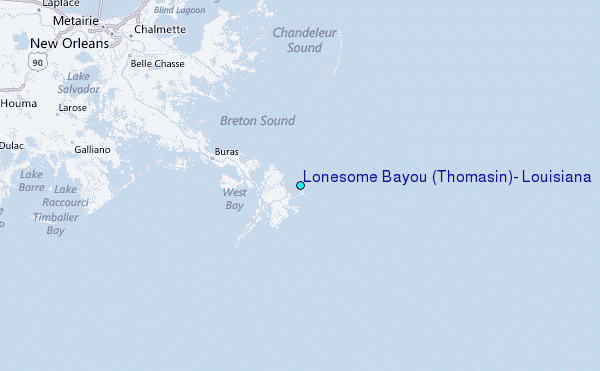