
| Distance / Altitude | Location | Report Date / Time | Live Weather | Wind | Gusts | Temp. | Visibility | Cloud |
|---|---|---|---|---|---|---|---|---|
| 1 km ESE / 3 m | BUOY-PFXC1 (Marine) | 2026-06-04 08:48 local (2026/06/04 15:48 GMT) | calm (4 km/h at 120) | — | - | |||
| 2 km SSW / 3 m | BUOY-PFDC1 (Marine) | 2026-06-04 08:48 local (2026/06/04 15:48 GMT) | light winds from the ENE (8 km/h at 60) | — | - | |||
| 2 km NW / 3 m | BUOY-BAXC1 (Marine) | 2026-06-04 08:48 local (2026/06/04 15:48 GMT) | light winds from the ESE (8 km/h at 110) | — | - | |||
| 2 km N / 3 m | BUOY-PSXC1 (Marine) | 2026-06-04 08:48 local (2026/06/04 15:48 GMT) | calm (5 km/h at 130) | — | - | |||
| 4 km W / 3 m | BUOY-PXAC1 (Marine) | 2026-06-04 08:48 local (2026/06/04 15:48 GMT) | calm (5 km/h at 120) | — | - | |||
| 4 km S / 3 m | BUOY-AGXC1 (Marine) | 2026-06-04 08:48 local (2026/06/04 15:48 GMT) | calm (5 km/h at 40) | — | - | |||
| 4 km SE / 3 m | BUOY-PRJC1 (Marine) | 2026-06-04 08:48 local (2026/06/04 15:48 GMT) | light winds from the E (9 km/h at 100) | — | - | |||
| 5 km SSW / 3 m | BUOY-OHBC1 (Marine) | 2026-06-04 08:30 local (2026/06/04 15:30 GMT) | - (- km/h at -) | — | - | |||
| 6 km SSE / 15 m | SHIP5715 (Marine) | 2026-06-04 08:00 local (2026/06/04 15:00 GMT) | - (- km/h at -) | — | - km | |||
| 6 km SSE / 15 m | SHIP4130 (Marine) | 2026-06-04 08:00 local (2026/06/04 15:00 GMT) | - (- km/h at -) | — | - km |
Choose Long Beach, Terminal Island, California Location Map Zoom:
| Contours: | Roads & Rivers: | Select a
tide station / surf break / city |
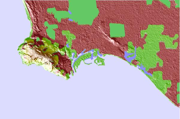
Use this relief map to navigate to tide stations, surf breaks and cities that are in the area of Long Beach, Terminal Island, California.
Other Nearby Locations' tide tables and tide charts to Long Beach, Terminal Island, California:
click location name for more details
 Surf breaks close to Long Beach, Terminal Island, California:
|
||
|---|---|---|
| Closest surf break | 64th Place | 3 mi |
| Second closest surf break | Cabrillo Point | 4 mi |
| Third closest surf break | TCs | 6 mi |
| Fourth closest surf break | Japs Cove | 7 mi |
| Fifth closest surf break | Royal Palms State Beach | 7 mi |


 Nearest