
| Distance / Altitude | Location | Report Date / Time | Live Weather | Wind | Gusts | Temp. | Visibility | Cloud |
|---|---|---|---|---|---|---|---|---|
| 29 km SSW / 400 m | Collins Hill (New Zealand) | 2024-07-27 13:00 local (2024/07/27 01:00 GMT) | - | light winds from the NW (13 km/h at 321) | — | - | - - 0 | |
| 31 km SSW / 6 m | Picton (New Zealand) | 2024-07-27 13:00 local (2024/07/27 01:00 GMT) | Dry | wind obs. (9 kph from 45 degs) was rejected (- km/h at -) | 15°C | - | - - - | |
| 37 km SSW / 40 m | Koromiko (New Zealand) | 2024-07-27 13:10 local (2024/07/27 01:10 GMT) | Recent light rain | calm (2 km/h at 135) | 4°C | - | - - - | |
| 38 km ESE / 40 m | MakaraNZ (New Zealand) | 2024-07-27 12:45 local (2024/07/27 00:45 GMT) | Dry | calm (2 km/h at 90) | 15°C | - | - - - | |
| 40 km SE / 15 m | Tongue Point AWS (New Zealand) | 2024-07-27 13:10 local (2024/07/27 01:10 GMT) | No weather report | moderate winds from the NW (22 km/h at 315) | — | - | - - - | |
| 43 km ESE / 209 m | Eastern Karori (New Zealand) | 2024-07-27 13:04 local (2024/07/27 01:04 GMT) | Dry | light winds from the N (15 km/h at 0) | 14°C | - | - - - | |
| 44 km ESE / 131 m | Wilton wx (New Zealand) | 2024-07-27 13:00 local (2024/07/27 01:00 GMT) | dry | light winds from the NW (10 km/h at 319) | 16°C | - | - - 0 | |
| 44 km ESE / 83 m | Ngaio (New Zealand) | 2024-07-27 13:10 local (2024/07/27 01:10 GMT) | No weather report | calm (4 km/h at 45) | 15°C | - | - - - | |
| 44 km ESE / 66 m | Wellington (New Zealand) | 2024-07-27 12:02 local (2024/07/27 00:02 GMT) | dry | calm (2 km/h at 225) | 16°C | - | - - 0 | |
| 45 km E / 130 m | Westra View (New Zealand) | 2024-07-27 13:15 local (2024/07/27 01:15 GMT) | Dry | wind obs. (6 kph from 90 degs) was rejected (- km/h at -) | 15°C | - | - - - |
| Contours: | Roads & Rivers: | Select a
tide station / surf break / city |
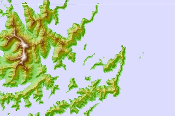
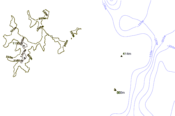
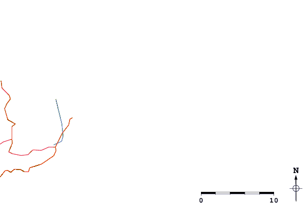
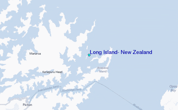
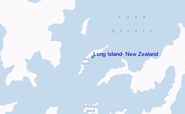
Use this relief map to navigate to tide stations, surf breaks and cities that are in the area of Long Island, New Zealand.
Other Nearby Locations' tide tables and tide charts to Long Island, New Zealand:
click location name for more details
 Surf breaks close to Long Island, New Zealand:
|
||
|---|---|---|
| Closest surf break | Te Ikaamaru Bay | 21 mi |
| Second closest surf break | Robin Hood Bay | 21 mi |
| Third closest surf break | Makara | 22 mi |
| Fourth closest surf break | Whites Bay | 23 mi |
| Fifth closest surf break | Mana Island | 25 mi |

 Nearest
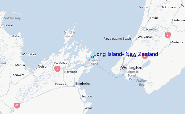