
| Distance / Altitude | Location | Report Date / Time | Live Weather | Wind | Gusts | Temp. | Visibility | Cloud |
|---|---|---|---|---|---|---|---|---|
| 1 km SE / -152 m | Lord Howe Island Windy Point (Australia (additional Islands)) | 2025-12-25 07:00 local (2025/12/24 20:00 GMT) | no report | wind obs. (20 kph from 250 degs) was rejected (- km/h at -) | — | - | - no observation - | |
| 2 km SE / 7 m | Lord Howe Island Aero (Australia) | 2025-12-25 07:00 local (2025/12/24 20:00 GMT) | no report | light winds from the NNE (13 km/h at 30) | 23°C | 10.0 | few - - | |
| 225 km SW / 0 m | lightning (Australia) | 2025-12-25 07:47 local (2025/12/24 20:47 GMT) | Thunderstorm | (- km/h at -) | — | |||
| 400 km SW / 0 m | lightning 220km E of Laurieton (Australia) | 2025-12-25 07:49 local (2025/12/24 20:49 GMT) | Thunderstorm | (- km/h at -) | — | |||
| 402 km SSW / 15 m | SHIP4473 (Marine) | 2025-12-25 05:00 local (2025/12/24 18:00 GMT) | near gales from the S (53.64 km/h at 180) | 23°C | 17.7 km | |||
| 401 km SSW / 15 m | SHIP4187 (Marine) | 2025-12-25 05:00 local (2025/12/24 18:00 GMT) | near gales from the S (53.64 km/h at 180) | 23°C | 17.7 km | |||
| 403 km SW / 0 m | lightning 220km E of Harrington (Australia) | 2025-12-25 07:49 local (2025/12/24 20:49 GMT) | Thunderstorm | (- km/h at -) | — | |||
| 436 km SW / 0 m | lightning 182km E of North Haven (Australia) | 2025-12-25 07:51 local (2025/12/24 20:51 GMT) | Thunderstorm | (- km/h at -) | — | |||
| 496 km SW / 0 m | lightning 146km E of Forster (Australia) | 2025-12-25 06:30 local (2025/12/24 19:30 GMT) | Thunderstorm | (- km/h at -) | — | |||
| 550 km W / 15 m | SHIP4014 (Marine) | 2025-12-25 06:00 local (2025/12/24 19:00 GMT) | moderate winds from the N (24.12 km/h at 360) | — | 17.7 km |
| Contours: | Roads & Rivers: | Select a
tide station / surf break / city |
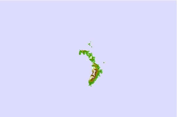
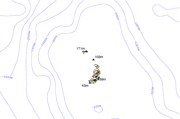
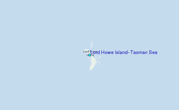
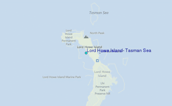
Use this relief map to navigate to tide stations, surf breaks and cities that are in the area of Lord Howe Island, Tasman Sea.
Other Nearby Locations' tide tables and tide charts to Lord Howe Island, Tasman Sea:
click location name for more details
 Surf breaks close to Lord Howe Island, Tasman Sea:
|
||
|---|---|---|
| Closest surf break | Cheese Graters | 1 mi |
| Second closest surf break | Hat Head | 356 mi |
| Third closest surf break | Back Beach Plommer | 360 mi |
| Fourth closest surf break | Crescent Head | 360 mi |
| Fifth closest surf break | Point Plomer Beach | 360 mi |


 Nearest