
| Distance / Altitude | Location | Report Date / Time | Live Weather | Wind | Gusts | Temp. | Visibility | Cloud |
|---|---|---|---|---|---|---|---|---|
| 14 km NNE / 19 m | Cape Flattery (Australia) | 2025-12-25 20:00 local (2025/12/25 10:00 GMT) | no report | wind obs. (20 kph from 150 degs) was rejected (- km/h at -) | 24°C | - | - no observation - | |
| 41 km S / 478 m | Cooktown Airport (Australia) | 2025-12-25 20:00 local (2025/12/25 10:00 GMT) | no report | wind obs. (9 kph from 150 degs) was rejected (- km/h at -) | 22°C | - | - no observation - | |
| 148 km SSE / 4 m | Low Isles Lighthouse (Australia) | 2025-12-25 20:00 local (2025/12/25 10:00 GMT) | no report | wind obs. (15 kph from 260 degs) was rejected (- km/h at -) | 27°C | - | - no observation - | |
| 163 km SSW / 240 m | Palmerville (Australia) | 2025-12-25 20:00 local (2025/12/25 10:00 GMT) | no report | wind obs. (7 kph from 70 degs) was rejected (- km/h at -) | 20°C | - | - no observation - | |
| 204 km SSE / 8 m | ArlingtonReef (Australia) | 2025-12-25 20:00 local (2025/12/25 10:00 GMT) | no report | wind obs. (31 kph from 160 degs) was rejected (- km/h at -) | — | - | - no observation - | |
| 205 km SSE / 8 m | Cairns Airport (Australia) | 2025-12-25 20:00 local (2025/12/25 10:00 GMT) | no report | wind obs. (15 kph from 170 degs) was rejected (- km/h at -) | 22°C | - | - no observation - | |
| 206 km ESE / 13 m | Bougainville Reef (Australia) | 2025-12-25 20:00 local (2025/12/25 10:00 GMT) | no report | fresh winds from the ESE (31 km/h at 120) | 25°C | - | - - - | |
| 213 km SSE / 4 m | CairnsRacecourse (Australia) | 2025-12-25 20:00 local (2025/12/25 10:00 GMT) | no report | calm (4 km/h at 280) | 20°C | - | - no observation - | |
| 220 km S / 473 m | MareebaAirport (Australia) | 2025-12-25 20:00 local (2025/12/25 10:00 GMT) | - | wind obs. (9 kph from 170 degs) was rejected (- km/h at -) | — | - | - no observation - | |
| 270 km S / 479 m | lightning 100km W of Atherton (Australia) | 2025-12-25 20:02 local (2025/12/25 10:02 GMT) | Thunderstorm | (- km/h at -) | — |
| Contours: | Roads & Rivers: | Select a
tide station / surf break / city |
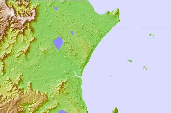
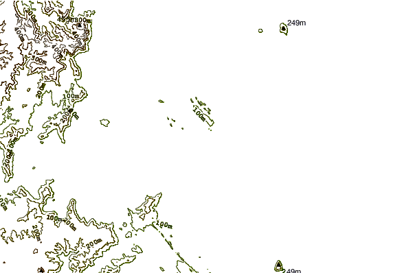
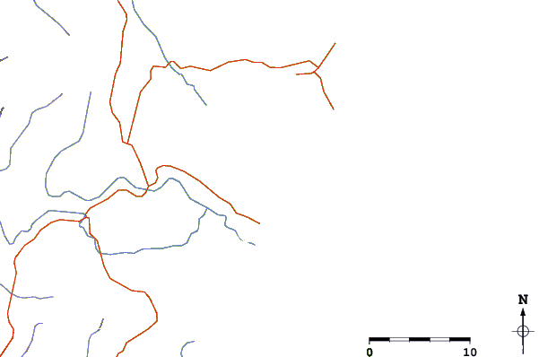
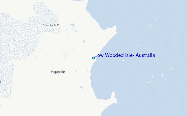
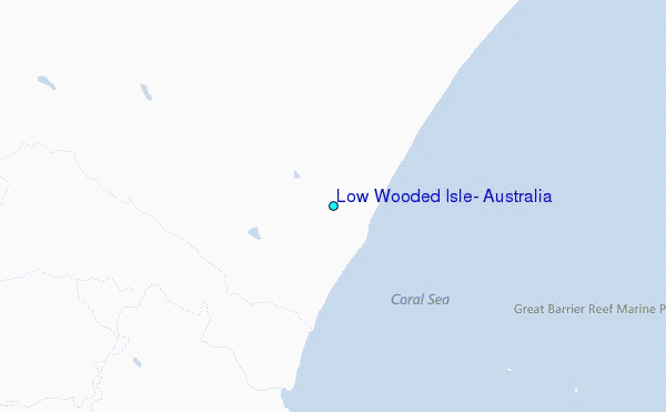
Use this relief map to navigate to tide stations, surf breaks and cities that are in the area of Low Wooded Isle, Australia.
Other Nearby Locations' tide tables and tide charts to Low Wooded Isle, Australia:
click location name for more details
 Surf breaks close to Low Wooded Isle, Australia:
|
||
|---|---|---|
| Closest surf break | Eimeo Point | 485 mi |
| Second closest surf break | Dolphin Heads | 486 mi |
| Third closest surf break | Lamberts Beach | 490 mi |
| Fourth closest surf break | North Wall Mackay Harbour Beach | 491 mi |
| Fifth closest surf break | South Wall Mackay Harbour | 492 mi |


 Nearest
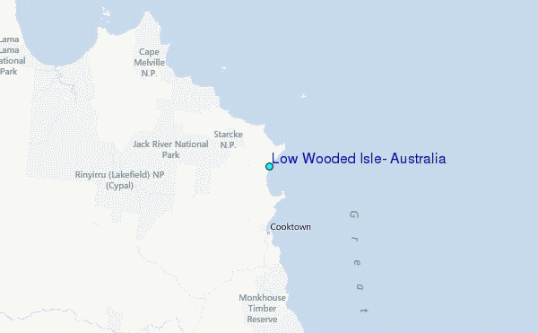