
| Distance / Altitude | Location | Report Date / Time | Live Weather | Wind | Gusts | Temp. | Visibility | Cloud |
|---|---|---|---|---|---|---|---|---|
| 5 km E / 3 m | Lowestoft Waverider (Marine) | 2026-05-05 14:31 local (2026/05/05 13:31 GMT) | - (- km/h at -) | — | - | |||
| 10 km S / 3 m | SHIP5657 (Marine) | 2026-05-05 14:00 local (2026/05/05 13:00 GMT) | - (- km/h at -) | — | - | |||
| 19 km S / 3 m | Southwold Approach WaveNet Site (Marine) | 2026-05-05 15:00 local (2026/05/05 14:00 GMT) | - (- km/h at -) | — | - | |||
| 31 km S / 3 m | Sizewell Waverider (Marine) | 2026-05-05 15:00 local (2026/05/05 14:00 GMT) | - (- km/h at -) | — | - | |||
| 33 km W / 506 m | Norwich Airport (United Kingdom) | 2026-05-05 14:20 local (2026/05/05 13:20 GMT) | Dry and partly cloudy | light winds from the NNE.(Wind varies from 350 to 080 degs) (15 km/h at 30) | 15°C | 10.0 | scattered | |
| 10 km S / 3 m | SHIP3023 (Marine) | 2026-05-05 15:00 local (2026/05/05 14:00 GMT) | - (- km/h at -) | — | - | |||
| 10 km S / 15 m | SHIP7010 (Marine) | 2026-05-05 14:00 local (2026/05/05 13:00 GMT) | - (- km/h at -) | — | - km | |||
| 10 km S / 3 m | SHIP1458 (Marine) | 2026-05-05 14:00 local (2026/05/05 13:00 GMT) | - (- km/h at -) | — | - | |||
| 10 km S / 3 m | SHIP5830 (Marine) | 2026-05-05 15:00 local (2026/05/05 14:00 GMT) | - (- km/h at -) | — | - | |||
| 10 km S / 3 m | SHIP3024 (Marine) | 2026-05-05 15:00 local (2026/05/05 14:00 GMT) | - (- km/h at -) | — | - |
| Contours: | Roads & Rivers: | Select a
tide station / surf break / city |
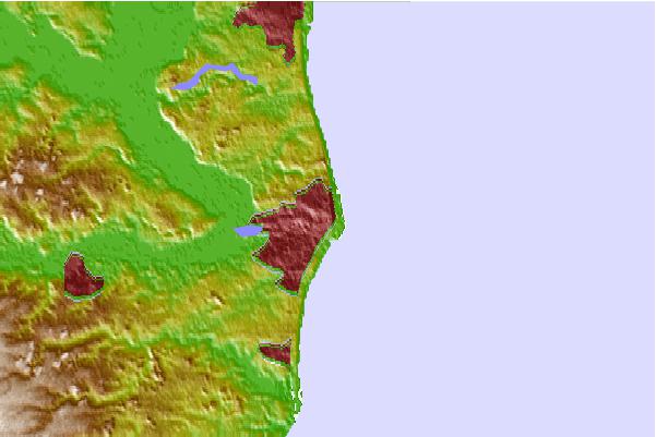
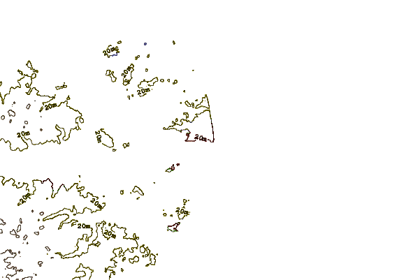
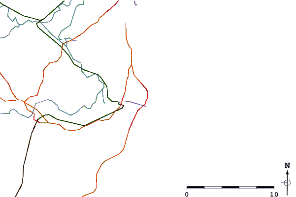
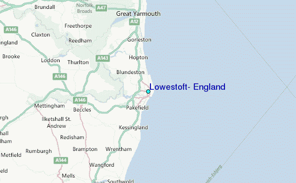
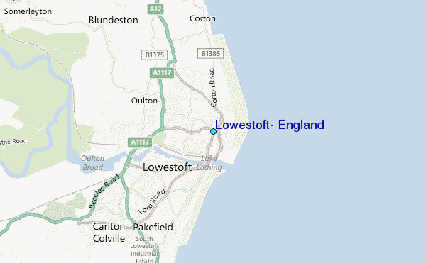
Use this relief map to navigate to tide stations, surf breaks and cities that are in the area of Lowestoft, England.
Other Nearby Locations' tide tables and tide charts to Lowestoft, England:
click location name for more details
 Surf breaks close to Lowestoft, England:
|
||
|---|---|---|
| Closest surf break | Lowestoft | 1 mi |
| Second closest surf break | Gorleston on Sea | 6 mi |
| Third closest surf break | Great Yarmouth | 7 mi |
| Fourth closest surf break | Caister-on-Sea | 9 mi |
| Fifth closest surf break | Scratby | 12 mi |


 Nearest
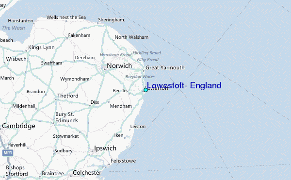