
| Distance / Altitude | Location | Report Date / Time | Live Weather | Wind | Gusts | Temp. | Visibility | Cloud |
|---|---|---|---|---|---|---|---|---|
| 21 km SW / 30 m | Negril (Jamaica) | 2025-12-07 05:43 local (2025/12/07 10:43 GMT) | dry | calm (0 km/h at 127) | 24°C | - | - - 0 | |
| 27 km ENE / 193 m | Sangster/Montego Bay Airport (Jamaica) | 2025-12-07 05:00 local (2025/12/07 10:00 GMT) | - | calm (4 km/h at 1) | 25°C | 10.0 | few | |
| 158 km ESE / 191 m | Kingston/Norman Manley International Airport (Jamaica) | 2025-12-07 06:00 local (2025/12/07 11:00 GMT) | - | wind obs. (11 kph from 300 degs) was rejected (- km/h at -) | 25°C | - | - no observation - | |
| 222 km WNW / 24 m | Cayman Brac (Cayman Islands) | 2025-12-07 06:15 local (2025/12/07 11:15 GMT) | dry | - (- km/h at ) | — | - | - - 0 | |
| 284 km E / 3 m | SHIP5118 (Marine) | 2025-12-07 04:00 local (2025/12/07 09:00 GMT) | - (- km/h at -) | 28°C | - | |||
| 285 km E / 15 m | SHIP5897 (Marine) | 2025-12-07 04:00 local (2025/12/07 09:00 GMT) | - (- km/h at -) | — | - km | |||
| 285 km E / 3 m | SHIP2103 (Marine) | 2025-12-07 04:00 local (2025/12/07 09:00 GMT) | - (- km/h at -) | 28°C | - | |||
| 285 km E / 15 m | SHIP2909 (Marine) | 2025-12-07 04:00 local (2025/12/07 09:00 GMT) | - (- km/h at -) | — | - km | |||
| 285 km E / 15 m | SHIP4242 (Marine) | 2025-12-07 04:00 local (2025/12/07 09:00 GMT) | - (- km/h at -) | — | - km | |||
| 285 km E / 3 m | SHIP1716 (Marine) | 2025-12-07 04:00 local (2025/12/07 09:00 GMT) | - (- km/h at -) | 28°C | - |
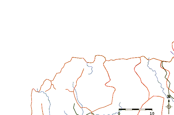
| Contours: | Roads & Rivers: | Select a
tide station / surf break / city |
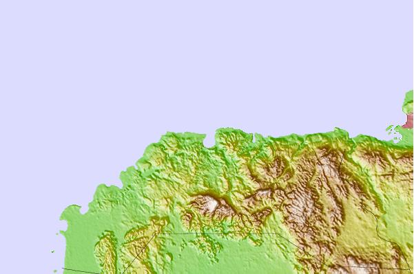
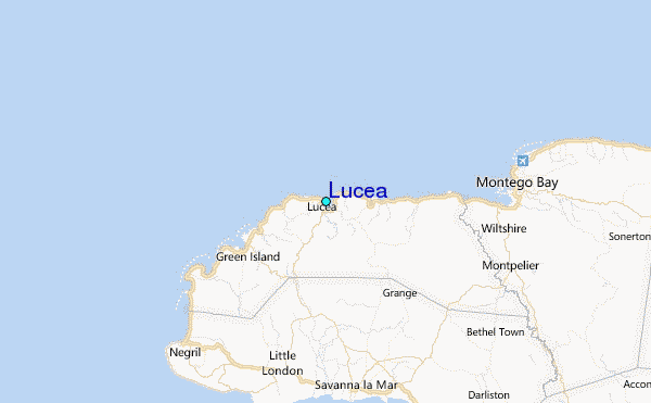
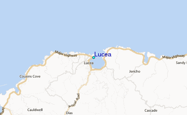
Use this relief map to navigate to tide stations, surf breaks and cities that are in the area of Lucea.
Other Nearby Locations' tide tables and tide charts to Lucea:
click location name for more details
 Surf breaks close to Lucea:
|
||
|---|---|---|
| Closest surf break | Discovery Bay | 50 mi |
| Second closest surf break | Runaway Bay | 55 mi |
| Third closest surf break | Lighthouse 2 | 98 mi |
| Fourth closest surf break | Peenie Wally | 101 mi |
| Fifth closest surf break | Zoo (Bull Bay) | 101 mi |


 Nearest
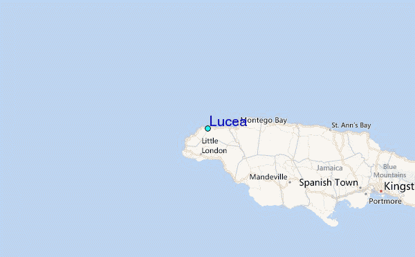