
| Distance / Altitude | Location | Report Date / Time | Live Weather | Wind | Gusts | Temp. | Visibility | Cloud |
|---|---|---|---|---|---|---|---|---|
| 122 km E / 6 m | AdeleIsland (Australia) | 2025-12-26 08:00 local (2025/12/26 00:00 GMT) | no report | wind obs. (11 kph from 180 degs) was rejected (- km/h at -) | 26°C | - | - no observation - | |
| 255 km SE / 7 m | YampiSound(Defence) (Australia) | 2025-12-26 08:00 local (2025/12/26 00:00 GMT) | No report | calm (2 km/h at 350) | 30°C | - | - no observation - | |
| 274 km S / 218 m | Broome Airport (Australia) | 2025-12-26 07:30 local (2025/12/25 23:30 GMT) | Dry and partly cloudy | light winds from the W (17 km/h at 260) | 32°C | 10.0 | no cloud | |
| 274 km SE / 7 m | Derby Airport (Australia) | 2025-12-26 08:00 local (2025/12/26 00:00 GMT) | no report | wind obs. (9 kph from 230 degs) was rejected (- km/h at -) | 30°C | - | - no observation - | |
| 276 km S / 9 m | Broome Airport (Australia) | 2025-12-26 08:00 local (2025/12/26 00:00 GMT) | no report | light winds from the W (15 km/h at 270) | 32°C | - | - no observation - | |
| 281 km S / 0 m | BroomeNtcAws (Australia) | 2025-12-26 08:00 local (2025/12/26 00:00 GMT) | no report | wind obs. (17 kph from 130 degs) was rejected (- km/h at -) | 26°C | - | - no observation - | |
| 302 km SE / 78 m | Curtin (Australia) | 2025-12-26 08:00 local (2025/12/26 00:00 GMT) | no report | wind obs. (9 kph from 160 degs) was rejected (- km/h at -) | 27°C | - | - | |
| 304 km SE / 212 m | Curtin/Derby Airport (Australia) | 2025-12-26 07:30 local (2025/12/25 23:30 GMT) | Dry and partly cloudy | light winds from the W (17 km/h at 270) | 30°C | 10.0 | no cloud no observation - | |
| 399 km SSW / 8 m | Rowley Shoals (Australia) | 2025-12-26 08:00 local (2025/12/26 00:00 GMT) | no report | light winds from the W (19 km/h at 280) | 30°C | - | - no observation - | |
| 482 km ENE / 415 m | Troughton Island (Australia) | 2025-12-26 08:00 local (2025/12/26 00:00 GMT) | no report | light winds from the SW (15 km/h at 220) | 26°C | - | - no observation - |
| Contours: | Roads & Rivers: | Select a
tide station / surf break / city |


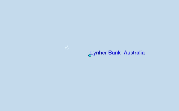
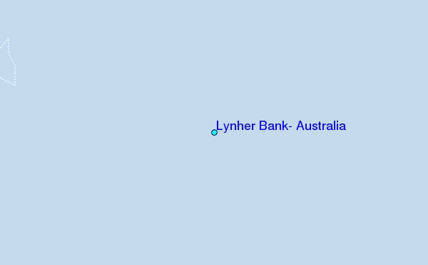
Use this relief map to navigate to tide stations, surf breaks and cities that are in the area of Lynher Bank, Australia.
Other Nearby Locations' tide tables and tide charts to Lynher Bank, Australia:
click location name for more details
 Surf breaks close to Lynher Bank, Australia:
|
||
|---|---|---|
| Closest surf break | Cable Beach (Broome) | 168 mi |
| Second closest surf break | Gantheaume Point (Broome) | 173 mi |
| Third closest surf break | Ndana | 316 mi |
| Fourth closest surf break | Boa | 319 mi |
| Fifth closest surf break | Peanuts | 319 mi |


 Nearest
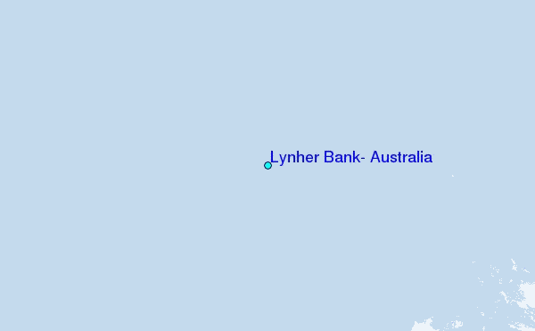