
| Distance / Altitude | Location | Report Date / Time | Live Weather | Wind | Gusts | Temp. | Visibility | Cloud |
|---|---|---|---|---|---|---|---|---|
| 80 km WSW / 6 m | Laiya (Philippines) | 2025-12-14 22:55 local (2025/12/14 14:55 GMT) | dry | - (- km/h at ) | — | - | - - 0 | |
| 146 km WNW / 26 m | Paranaque (Philippines) | 2025-12-14 22:43 local (2025/12/14 14:43 GMT) | dry | calm (0 km/h at 74) | 26°C | - | - - 0 | |
| 150 km WNW / 217 m | Ninoy Aquino International Airport (Manila) (Philippines) | 2025-12-14 22:00 local (2025/12/14 14:00 GMT) | Dry and partly cloudy | calm (4 km/h at 1) | 27°C | 10.0 | few broken overcast | |
| 154 km WNW / 26 m | Quezon City (Åland) | 2025-12-14 22:18 local (2025/12/14 14:18 GMT) | dry | calm (0 km/h at 302) | 26°C | - | - - 0 | |
| 221 km SE / 210 m | Macatan Airport (Philippines) | 2025-12-14 22:11 local (2025/12/14 14:11 GMT) | Shower light rain shower | moderate winds from the N (26 km/h at 360) | 28°C | 9.0 | scattered overcast | |
| 230 km WNW / 584 m | Angeles/Pampanga Airport (Philippines) | 2025-12-14 22:00 local (2025/12/14 14:00 GMT) | - | calm (4 km/h at 320) | 24°C | 10.0 | few | |
| 233 km W / 452 m | Olongapo/Subic Bay Airport (Philippines) | 2025-12-14 22:00 local (2025/12/14 14:00 GMT) | - | light winds from the NE.(Wind varies from 010 to 080 degs) (7 km/h at 50) | 25°C | 10.0 | few | |
| 242 km WNW / 19 m | Santa Lucia wx (Philippines) | 2025-12-14 22:15 local (2025/12/14 14:15 GMT) | dry | calm (0 km/h at 0) | 23°C | - | - - 0 | |
| 247 km S / 80 m | Dalipdip wx (Philippines) | 2025-12-14 23:09 local (2025/12/14 15:09 GMT) | dry | light winds from the ENE (13 km/h at 66) | 26°C | - | - - 0 | |
| 412 km SSW / 21 m | El Nido wx (Philippines) | 2025-12-14 22:30 local (2025/12/14 14:30 GMT) | dry | calm (0 km/h at 264) | 25°C | - | - - 0 |
| Contours: | Roads & Rivers: | Select a
tide station / surf break / city |
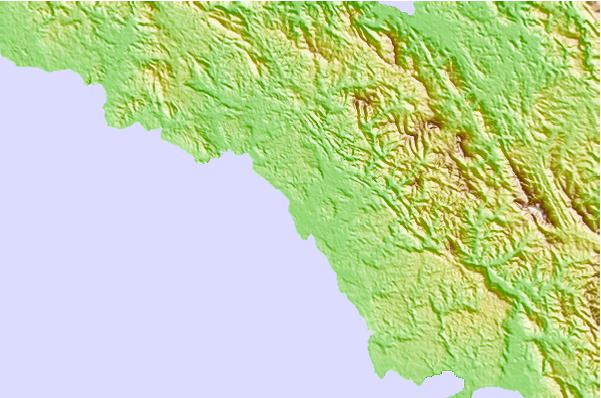
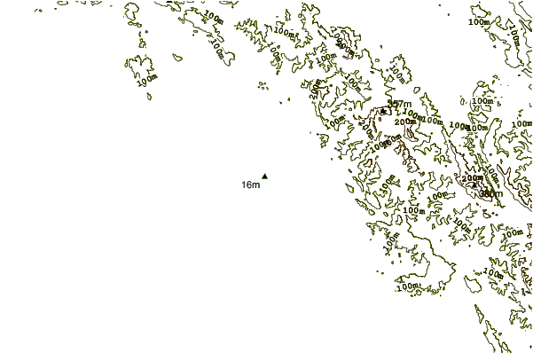
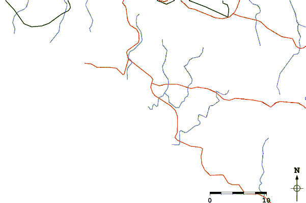
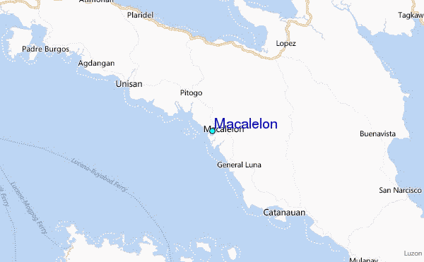
Use this relief map to navigate to tide stations, surf breaks and cities that are in the area of Macalelon.
Other Nearby Locations' tide tables and tide charts to Macalelon:
click location name for more details
 Surf breaks close to Macalelon:
|
||
|---|---|---|
| Closest surf break | Bagasbas Beach | 63 mi |
| Second closest surf break | Virac Harbour | 140 mi |
| Third closest surf break | Cobra Reef - Cemento | 144 mi |
| Fourth closest surf break | Baler - Charlie's Point | 145 mi |
| Fifth closest surf break | Baler - Lindy's Point | 145 mi |


 Nearest
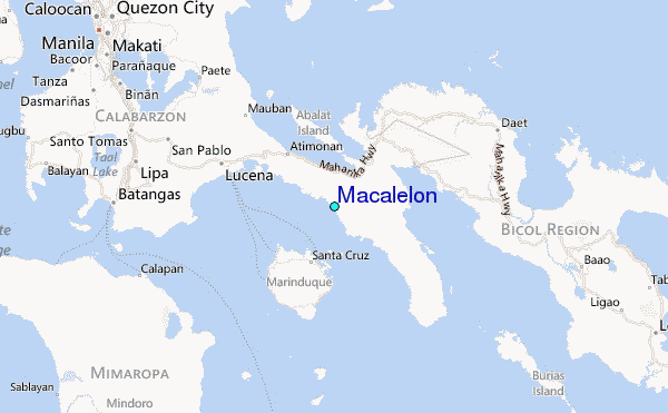