
| Distance / Altitude | Location | Report Date / Time | Live Weather | Wind | Gusts | Temp. | Visibility | Cloud |
|---|---|---|---|---|---|---|---|---|
| 104 km S / 1587 m | Goroka Highlands Airport (Papua-New Guinea) | 2026-04-27 23:00 local (2026/04/27 13:00 GMT) | visibility reduced by smoke | - (- km/h at -) | 22°C | 30 | - | |
| 181 km SE / 70 m | Nadzab (Papua New Guinea) | 2026-04-27 23:00 local (2026/04/27 13:00 GMT) | rain | - (- km/h at -) | 25°C | 30 | - - - | |
| 446 km W / 3 m | Aitape (Papua-New Guinea) | 2026-04-28 00:00 local (2026/04/27 14:00 GMT) | - | calm (2 km/h at 70) | 23°C | - | no observation | |
| 487 km SSE / 48 m | Port Moresby (Papua New Guinea) | 2026-04-27 23:00 local (2026/04/27 13:00 GMT) | haze | fresh winds from the SSE (30 km/h at 160) | 26°C | 20 | - - - | |
| 614 km S / 4 m | Coconut Island (Australia) | 2026-04-27 22:00 local (2026/04/27 12:00 GMT) | no report | - (- km/h at -) | 26°C | - | - | |
| 617 km WSW / 125 m | Tanah Merah (Indonesia (maluku And Irian Jaya)) | 2026-04-27 23:00 local (2026/04/27 13:00 GMT) | - | calm (4 km/h at 90) | 26°C | 28 km | mostly cloudy | |
| 629 km ENE / 4 m | Kavieng W.o. (Papua New Guinea) | 2026-04-27 23:00 local (2026/04/27 13:00 GMT) | no report | wind obs. (22 kph from 180 degs) was rejected (- km/h at -) | 30°C | 30 | - | |
| 651 km SSW / 15 m | ASCATB142E10S (Marine) | 2026-04-27 22:07 local (2026/04/27 12:07 GMT) | fresh winds from the ESE (33 km/h at 112) | — | - km | |||
| 655 km W / 88 m | Jayapura/Sentani Airport (Indonesia) | 2026-04-27 23:30 local (2026/04/27 13:30 GMT) | - | calm (4 km/h at 10) | 27°C | 30 km | few mostly cloudy - | |
| 659 km SSW / 15 m | ASCATC142E10S (Marine) | 2026-04-27 22:39 local (2026/04/27 12:39 GMT) | fresh winds from the ESE (32 km/h at 116) | — | - km |
| Contours: | Roads & Rivers: | Select a
tide station / surf break / city |
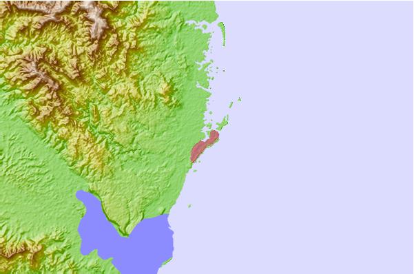
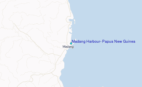
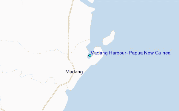
Use this relief map to navigate to tide stations, surf breaks and cities that are in the area of Madang Harbour, Papua New Guinea.
Other Nearby Locations' tide tables and tide charts to Madang Harbour, Papua New Guinea:
click location name for more details
 Surf breaks close to Madang Harbour, Papua New Guinea:
|
||
|---|---|---|
| Closest surf break | Tupira Right | 59 mi |
| Second closest surf break | Forok Point | 178 mi |
| Third closest surf break | Moem Point | 185 mi |
| Fourth closest surf break | The Wharf (Mission Point) | 186 mi |
| Fifth closest surf break | Wewak Point | 189 mi |


 Nearest
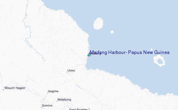