
| Distance / Altitude | Location | Report Date / Time | Live Weather | Wind | Gusts | Temp. | Visibility | Cloud |
|---|---|---|---|---|---|---|---|---|
| 0 km WSW / 3 m | BUOY-MGIP4 (Marine) | 2025-12-26 05:00 local (2025/12/26 09:00 GMT) | light winds from the N (9 km/h at 360) | — | - | |||
| 1 km N / 8 m | La Parguera wx (Puerto Rico) | 2025-12-26 05:40 local (2025/12/26 09:40 GMT) | dry | calm (3 km/h at 69) | 21°C | - | - - 0 | |
| 6 km NNE / 20 m | Parada de Señal Irizarry wx (Puerto Rico) | 2025-12-26 05:17 local (2025/12/26 09:17 GMT) | dry | calm (0 km/h at 118) | 22°C | - | - - 0 | |
| 8 km W / 85 m | Las Palmas wx (Puerto Rico) | 2025-12-26 04:28 local (2025/12/26 08:28 GMT) | dry | light winds from the NNE (10 km/h at 24) | 22°C | - | - - 0 | |
| 12 km N / 47 m | San German (Puerto Rico) | 2025-12-26 04:03 local (2025/12/26 08:03 GMT) | dry | - (- km/h at ) | — | - | - - 0 | |
| 18 km WNW / 19 m | Pueblo Nuevo wx (Puerto Rico) | 2025-12-26 05:01 local (2025/12/26 09:01 GMT) | dry | calm (3 km/h at 83) | 22°C | - | - - 0 | |
| 27 km ENE / 360 m | La Capital wx (Puerto Rico) | 2025-12-26 05:17 local (2025/12/26 09:17 GMT) | dry | calm (3 km/h at 313) | 22°C | - | - - 0 | |
| 28 km NW / 25 m | Mayaguez (Puerto Rico) | 2025-12-26 05:35 local (2025/12/26 09:35 GMT) | dry | light winds from the ESE (11 km/h at 105) | 22°C | - | - - 0 | |
| 30 km NW / 3 m | BUOY-MGZP4 (Marine) | 2025-12-26 05:00 local (2025/12/26 09:00 GMT) | calm (5 km/h at 60) | 22°C | - | |||
| 31 km NW / 30 m | Mayaguez (Puerto Rico) | 2025-12-26 05:43 local (2025/12/26 09:43 GMT) | dry | calm (0 km/h at 156) | 22°C | - | - - 0 |

Choose Magueyes Island, Caribbean Sea, Puerto Rico Location Map Zoom:
| Contours: | Roads & Rivers: | Select a
tide station / surf break / city |
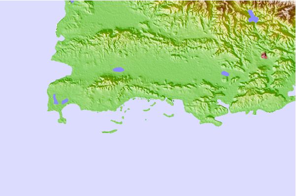

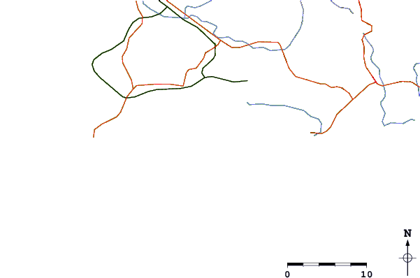
Use this relief map to navigate to tide stations, surf breaks and cities that are in the area of Magueyes Island, Caribbean Sea, Puerto Rico.
Other Nearby Locations' tide tables and tide charts to Magueyes Island, Caribbean Sea, Puerto Rico:
click location name for more details
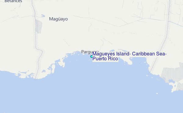
 Surf breaks close to Magueyes Island, Caribbean Sea, Puerto Rico:
|
||
|---|---|---|
| Closest surf break | Punta de Brea | 9 mi |
| Second closest surf break | Playa Ballena | 12 mi |
| Third closest surf break | Sea Beach (Rincon) | 29 mi |
| Fourth closest surf break | Dogmans (Rincon) | 29 mi |
| Fifth closest surf break | Little Malibu (Rincon) | 29 mi |


 Nearest
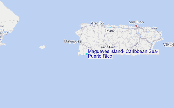