
| Distance / Altitude | Location | Report Date / Time | Live Weather | Wind | Gusts | Temp. | Visibility | Cloud |
|---|---|---|---|---|---|---|---|---|
| 7 km NNE / 194 m | Majunga/Mahajanga Airport (Comoros) | 2025-12-25 23:00 local (2025/12/25 20:00 GMT) | Dry and partly cloudy | light winds from the N (9 km/h at 360) | 27°C | 10.0 | few scattered | |
| 342 km NW / 411 m | Dzaoudzi/Pamanzi Airport (Comoros) | 2025-12-25 23:30 local (2025/12/25 20:30 GMT) | - | light winds from the N (13 km/h at 10) | — | 0.0 | ||
| 362 km SSE / 1388 m | Antananarivo/Ivato Airport (Comoros) | 2025-12-25 23:30 local (2025/12/25 20:30 GMT) | Drizzle | wind obs. (6 kph from 340 degs) was rejected (- km/h at -) | 18°C | 8.0 | scattered scattered broken | |
| 413 km SW / 10 m | Ile Juan DE Nova (France) | 2025-12-26 00:00 local (2025/12/25 21:00 GMT) | no report | wind obs. (7 kph from 130 degs) was rejected (- km/h at -) | 30°C | - | - | |
| 421 km SE / 195 m | Tamatave/Toamasina Airport (Comoros) | 2025-12-25 23:00 local (2025/12/25 20:00 GMT) | Dry and partly cloudy | calm (4 km/h at 320) | 24°C | 10.0 | few broken | |
| 469 km NNE / 4 m | Iles Glorieuses (France) | 2025-12-26 00:00 local (2025/12/25 21:00 GMT) | no report | light winds from the ESE (11 km/h at 110) | 30°C | - | - | |
| 697 km W / 446 m | Pemba Airport (Mozambique) | 2025-12-25 23:00 local (2025/12/25 20:00 GMT) | - | calm (0 km/h at 0) | 28°C | 10.0 | few | |
| 760 km WSW / 323 m | Nampula Airport (Mozambique) | 2025-12-25 23:00 local (2025/12/25 20:00 GMT) | Dry and partly cloudy | light winds from the N (11 km/h at 10) | 24°C | 10.0 | broken | |
| 899 km WNW / 277 m | Mtwara (Tanzania) | 2025-12-25 23:00 local (2025/12/25 20:00 GMT) | Dry and partly cloudy | light winds from the NNE (13 km/h at 20) | 28°C | 10.0 | scattered | |
| 984 km W / 756 m | Marrupa (Mozambique) | 2025-12-26 00:00 local (2025/12/25 21:00 GMT) | no report | wind obs. (11 kph from 130 degs) was rejected (- km/h at -) | 27°C | 20 | - |

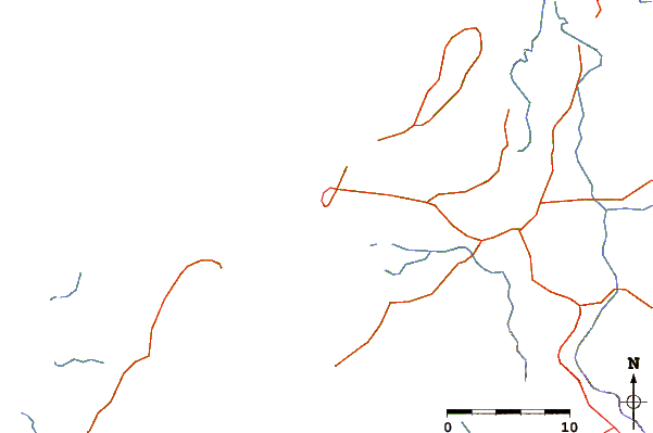
| Contours: | Roads & Rivers: | Select a
tide station / surf break / city |
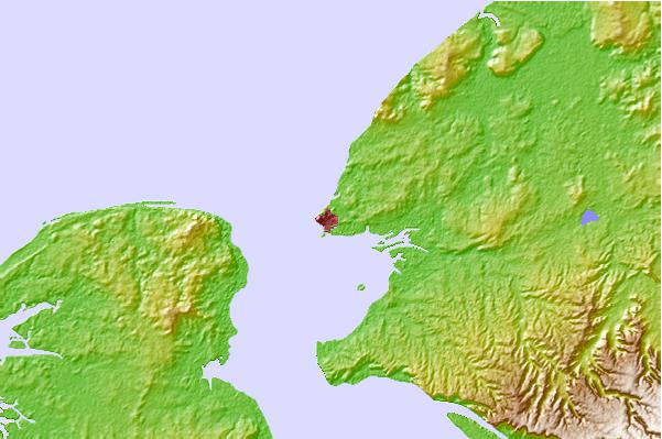

Use this relief map to navigate to tide stations, surf breaks and cities that are in the area of Mahajanga.
Other Nearby Locations' tide tables and tide charts to Mahajanga:
click location name for more details
 Surf breaks close to Mahajanga:
|
||
|---|---|---|
| Closest surf break | Behakio | 543 mi |
| Second closest surf break | La Gauche | 544 mi |
| Third closest surf break | La Batterie | 556 mi |
| Fourth closest surf break | TTs | 565 mi |
| Fifth closest surf break | Nosy Andrea | 567 mi |


 Nearest
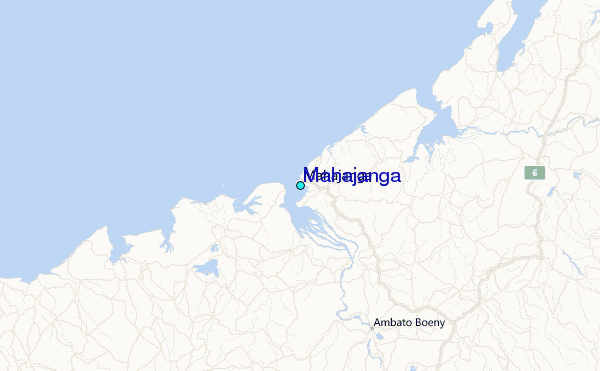