
| Distance / Altitude | Location | Report Date / Time | Live Weather | Wind | Gusts | Temp. | Visibility | Cloud |
|---|---|---|---|---|---|---|---|---|
| 76 km E / 15 m | General Santos International Airport (Paliparang Pandaigdig ng Heneral Santos) (Philippines) | 2025-12-25 08:00 local (2025/12/25 00:00 GMT) | no report | wind obs. (7 kph from 120 degs) was rejected (- km/h at -) | 27°C | 18 | - | |
| 76 km E / 15 m | General Santos City (Philippines) | 2025-12-25 08:00 local (2025/12/25 00:00 GMT) | no report | wind obs. (7 kph from 120 degs) was rejected (- km/h at -) | 27°C | 18 | - | |
| 121 km N / 48 m | Davao Airport (Philippines) | 2025-12-25 08:00 local (2025/12/25 00:00 GMT) | rain | wind obs. (11 kph from 10 degs) was rejected (- km/h at -) | 29°C | 15 | - | |
| 129 km NW / 53 m | Cotabato-Mindanao (Philippines) | 2025-12-25 08:00 local (2025/12/25 00:00 GMT) | distant precipitation but not falling at station | calm (4 km/h at 190) | 27°C | 12 | - - - | |
| 175 km NE / 293 m | Davao/Francisco Bangoy International Airport (Philippines) | 2025-12-25 08:00 local (2025/12/25 00:00 GMT) | Dry and partly cloudy | light winds from the NNE.(Wind varies from 360 to 060 degs) (9 km/h at 30) | 27°C | 10.0 | few broken | |
| 174 km NE / 293 m | Davao/Francisco Bangoy International Airport (Philippines) | 2025-12-25 08:00 local (2025/12/25 00:00 GMT) | Dry and partly cloudy | light winds from the NNE.(Wind varies from 360 to 060 degs) (9 km/h at 30) | 27°C | 10.0 | few broken | |
| 175 km W / 0 m | lightning 81km E of Tuburan (Philippines) | 2025-12-25 10:02 local (2025/12/25 02:02 GMT) | Thunderstorm | (- km/h at -) | — | |||
| 177 km NE / 3 m | SHIP6319 (Marine) | 2025-12-25 09:00 local (2025/12/25 01:00 GMT) | light winds from the NNE (13 km/h at 30) | 27°C | - | |||
| 177 km NE / 15 m | SHIP7279 (Marine) | 2025-12-25 08:00 local (2025/12/25 00:00 GMT) | light winds from the N (14.76 km/h at 350) | 28°C | - km | |||
| 177 km NE / - m | SHIP1070 (ocean) | 2025-12-25 09:00 local (2025/12/25 01:00 GMT) | No report | light winds from the N (13 km/h at 10) | 26°C | - | no observation |
| Contours: | Roads & Rivers: | Select a
tide station / surf break / city |
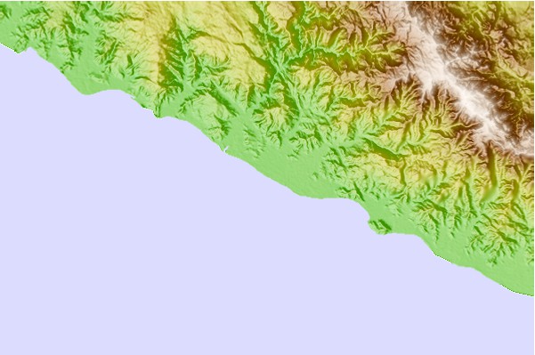
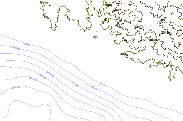
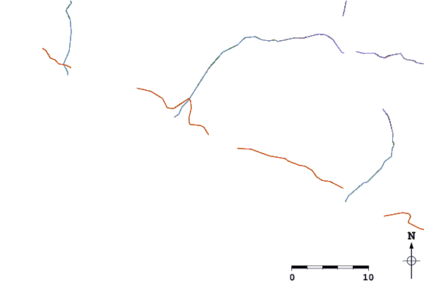
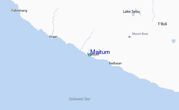
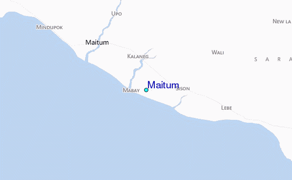
Use this relief map to navigate to tide stations, surf breaks and cities that are in the area of Maitum.
Other Nearby Locations' tide tables and tide charts to Maitum:
click location name for more details
 Surf breaks close to Maitum:
|
||
|---|---|---|
| Closest surf break | Tago River | 238 mi |
| Second closest surf break | Marami Beach | 240 mi |
| Third closest surf break | Lanuza Rivermouth | 245 mi |
| Fourth closest surf break | Random Beach Break | 247 mi |
| Fifth closest surf break | Big Star | 248 mi |


 Nearest
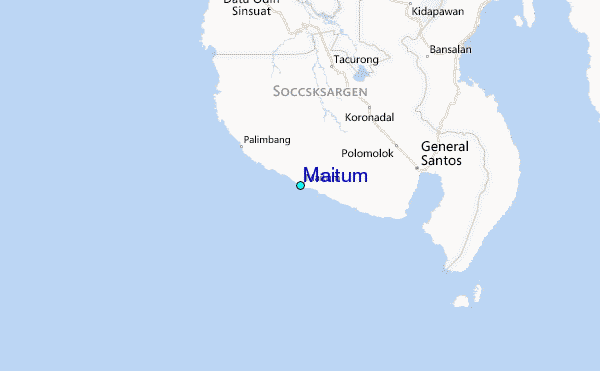