
| Distance / Altitude | Location | Report Date / Time | Live Weather | Wind | Gusts | Temp. | Visibility | Cloud |
|---|---|---|---|---|---|---|---|---|
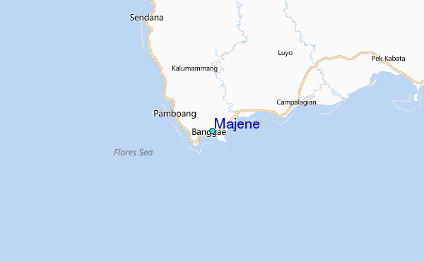
| 116 km N / 217 m | Majene (Indonesia (sulawesi)) | 2025-12-26 05:00 local (2025/12/25 21:00 GMT) | - | calm (4 km/h at 60) | 26°C | 29 km | scattered | |
| 181 km SSE / 217 m | Hasanuddin/Ujung Airport (Indonesia) | 2025-12-26 04:30 local (2025/12/25 20:30 GMT) | - | calm (2 km/h at 70) | 25°C | 8.0 | few | |
| 182 km SSE / 14 m | UjungPandangHasanuddin (Indonesia) | 2025-12-26 05:00 local (2025/12/25 21:00 GMT) | - | calm (4 km/h at 60) | 25°C | 28 km | scattered | |
| 310 km NNE / 6 m | PaluMutiara (Indonesia) | 2025-12-26 05:00 local (2025/12/25 21:00 GMT) | - | calm (4 km/h at 40) | 26°C | 28 km | - mostly cloudy - | |
| 342 km WNW / 3 m | Sepinggan Airport (Indonesia) | 2025-12-26 04:30 local (2025/12/25 20:30 GMT) | Dry and partly cloudy | light winds from the NW.(Wind varies from 270 to 340 degs) (6 km/h at 310) | 27°C | 9.0 | few scattered - | |
| 454 km ESE / 2 m | Bau-BauBetoAmbari (Indonesia) | 2025-12-26 05:00 local (2025/12/25 21:00 GMT) | - | wind obs. (6 kph from 80 degs) was rejected (- km/h at -) | 26°C | 28 km | mostly cloudy | |
| 467 km WSW / 20 m | Syamsudin Noor International Airport (Indonesia) | 2025-12-26 04:30 local (2025/12/25 20:30 GMT) | Mist - | calm (2 km/h at 40) | 25°C | 4.4 | broken | |
| 469 km WSW / 20 m | BanjarmasinSyamsudinNoor (Indonesia) | 2025-12-26 05:00 local (2025/12/25 21:00 GMT) | - | light winds from the NE (6 km/h at 50) | 25°C | 28 km | - scattered - | |
| 478 km SSW / 15 m | SHIP9248 (Marine) | 2025-12-26 03:00 local (2025/12/25 19:00 GMT) | moderate winds from the NNW (21.6 km/h at 330) | 29°C | - km | |||
| 478 km SSW / 15 m | SHIP3671 (Marine) | 2025-12-26 03:00 local (2025/12/25 19:00 GMT) | moderate winds from the NNW (21.6 km/h at 330) | 29°C | - km |
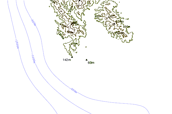
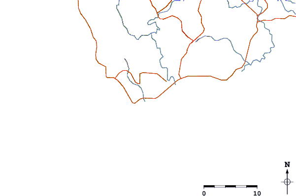
| Contours: | Roads & Rivers: | Select a
tide station / surf break / city |
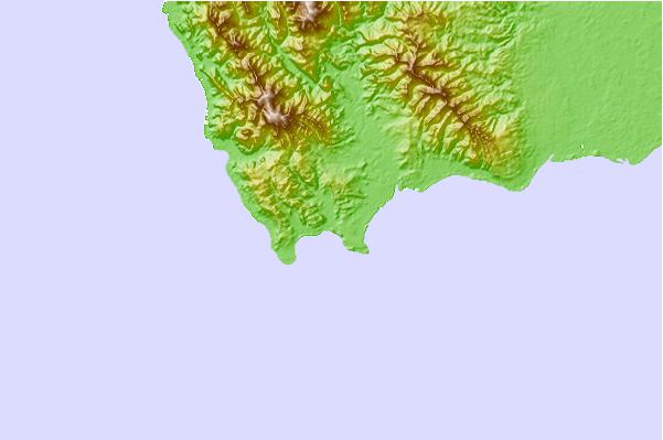
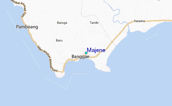
Use this relief map to navigate to tide stations, surf breaks and cities that are in the area of Majene.
Other Nearby Locations' tide tables and tide charts to Majene:
click location name for more details
 Surf breaks close to Majene:
|
||
|---|---|---|
| Closest surf break | Periscope Point | 365 mi |
| Second closest surf break | Lakey Peak | 365 mi |
| Third closest surf break | Lakey Pipe | 365 mi |
| Fourth closest surf break | Nungas | 365 mi |
| Fifth closest surf break | Cobblestones | 367 mi |


 Nearest
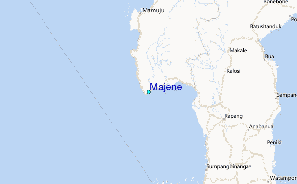