
| Distance / Altitude | Location | Report Date / Time | Live Weather | Wind | Gusts | Temp. | Visibility | Cloud |
|---|---|---|---|---|---|---|---|---|
| 7 km S / 208 m | Majuro Atoll Airport (Marshall Islands) | 2026-03-18 13:58 local (2026/03/18 01:58 GMT) | Dry and partly cloudy | calm (0 km/h at 0) | 31°C | 24 | few scattered broken | |
| 12 km ESE / 15 m | SHIP4905 (Marine) | 2026-03-18 12:00 local (2026/03/18 00:00 GMT) | moderate winds from the SW (21.6 km/h at 230) | 30°C | - km | |||
| 420 km W / 215 m | Kwajalein/buchol Airport (Marshall Islands) | 2026-03-18 13:40 local (2026/03/18 01:40 GMT) | Dry and partly cloudy | light winds from the SSW (11 km/h at 200) | 31°C | 16 | scattered scattered scattered | |
| 421 km W / 3 m | BUOY-KWJP8 (Marine) | 2026-03-18 13:48 local (2026/03/18 01:48 GMT) | - (- km/h at -) | — | - | |||
| 673 km SSE / 2 m | Tarawa Kiribati Airport (Fiji/tonga/tuvalu) | 2026-03-18 13:00 local (2026/03/18 01:00 GMT) | Dry and partly cloudy | light winds from the ENE (11 km/h at 70) | 31°C | 10.0 | few broken broken | |
| 421 km W / 3 m | BUOY-KWJP8 (Marine) | 2026-03-18 13:48 local (2026/03/18 01:48 GMT) | - (- km/h at -) | — | - | |||
| 669 km SSE / 2 m | Tarawa Kiribati Airport (Fiji/tonga/tuvalu) | 2026-03-18 13:00 local (2026/03/18 01:00 GMT) | Dry and partly cloudy | light winds from the ENE (11 km/h at 70) | 31°C | 10.0 | few broken broken | |
| 673 km SSE / 2 m | Tarawa(Aerodrome) (Kiribati) | 2026-03-18 12:00 local (2026/03/18 00:00 GMT) | State of sky unchanged | light winds from the E (11 km/h at 80) | 31°C | >50 km | mostly cloudy | |
| 675 km SSE / 204 m | Tarawa (Kiribati) | 2026-03-18 12:00 local (2026/03/18 00:00 GMT) | State of sky unchanged | light winds from the E (13 km/h at 90) | 31°C | >50 km | - scattered - | |
| 926 km SW / 4 m | KosraeAirportVice Lelu- Kosrae Atoll- Caroline Is. (Micronesia) | 2026-03-18 12:00 local (2026/03/18 00:00 GMT) | State of sky unchanged | light winds from the NNW (9 km/h at 340) | 31°C | 36 km | mostly cloudy |

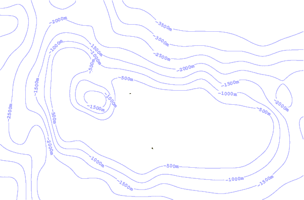
| Contours: | Roads & Rivers: | Select a
tide station / surf break / city |
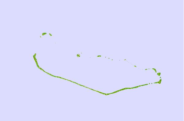
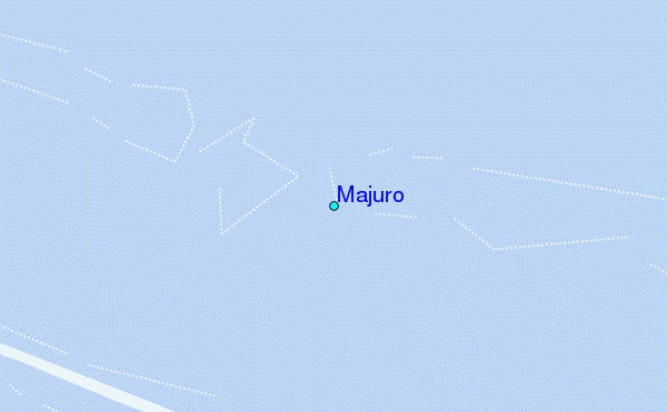
Use this relief map to navigate to tide stations, surf breaks and cities that are in the area of Majuro.
Other Nearby Locations' tide tables and tide charts to Majuro:
click location name for more details
 Surf breaks close to Majuro:
|
||
|---|---|---|
| Closest surf break | Naa | 400 mi |
| Second closest surf break | Sidedish | 582 mi |
| Third closest surf break | Walung | 583 mi |
| Fourth closest surf break | Lavata | 1441 mi |
| Fifth closest surf break | Kundu Kundu | 1442 mi |


 Nearest
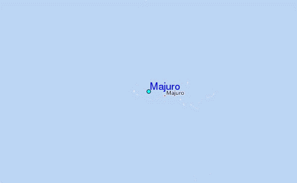