
| Distance / Altitude | Location | Report Date / Time | Live Weather | Wind | Gusts | Temp. | Visibility | Cloud |
|---|---|---|---|---|---|---|---|---|
| 222 km SW / 0 m | Anaa (French Polynesia) | 2025-12-20 14:00 local (2025/12/21 00:00 GMT) | no report | wind obs. (18 kph from 110 degs) was rejected (- km/h at -) | 24°C | - | - | |
| 288 km NW / 3 m | Takaroa (French Polynesia) | 2025-12-20 14:00 local (2025/12/21 00:00 GMT) | no report | moderate winds from the ESE (22 km/h at 110) | 26°C | - | - | |
| 319 km ESE / 5 m | Hao (French Polynesia) | 2025-12-20 14:00 local (2025/12/21 00:00 GMT) | no report | wind obs. (11 kph from 130 degs) was rejected (- km/h at -) | 23°C | 20 | - | |
| 322 km ESE / 3 m | Hao/tuamoto (mil (Samoa/polynesia) | 2025-12-20 14:30 local (2025/12/21 00:30 GMT) | Dry and partly cloudy | moderate winds from the NE (22 km/h at 50) | 28°C | 10.0 | no cloud | |
| 607 km SW / 3 m | Taiarapu Est (French Polynesia (Society Islands)) | 2025-12-20 14:00 local (2025/12/21 00:00 GMT) | no report | wind obs. (7 kph from 140 degs) was rejected (- km/h at -) | 24°C | - | - | |
| 647 km WSW / 320 m | Pappeete- Tahiti (French Polynesia (Society Islands)) | 2025-12-20 14:00 local (2025/12/21 00:00 GMT) | - | calm (0 km/h at 340) | — | - | - | |
| 649 km WSW / 15 m | SHIP2759 (Marine) | 2025-12-20 14:00 local (2025/12/21 00:00 GMT) | light winds from the NNE (18.36 km/h at 20) | 28°C | - km | |||
| 649 km WSW / - m | SHIP19 (ocean) | 2025-12-20 15:00 local (2025/12/21 01:00 GMT) | No report | light winds from the NE (15 km/h at 50) | 31°C | - | no observation | |
| 649 km WSW / - m | SHIP203 (ocean) | 2025-12-20 15:00 local (2025/12/21 01:00 GMT) | No report | light winds from the NE (15 km/h at 50) | 31°C | - | no observation | |
| 649 km WSW / 15 m | SHIP7856 (Marine) | 2025-12-20 13:00 local (2025/12/20 23:00 GMT) | moderate winds from the NNE (20.52 km/h at 30) | 28°C | - km |
| Contours: | Roads & Rivers: | Select a
tide station / surf break / city |
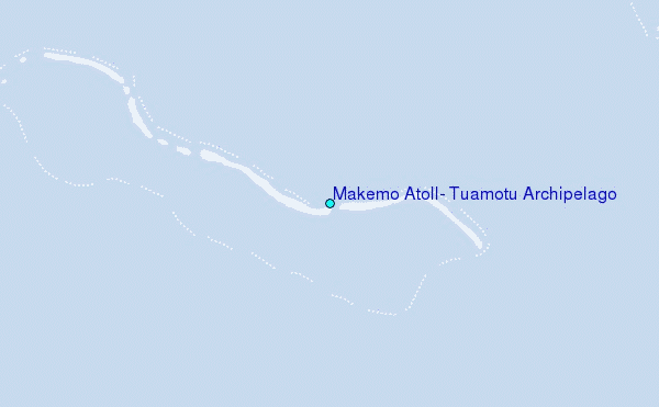
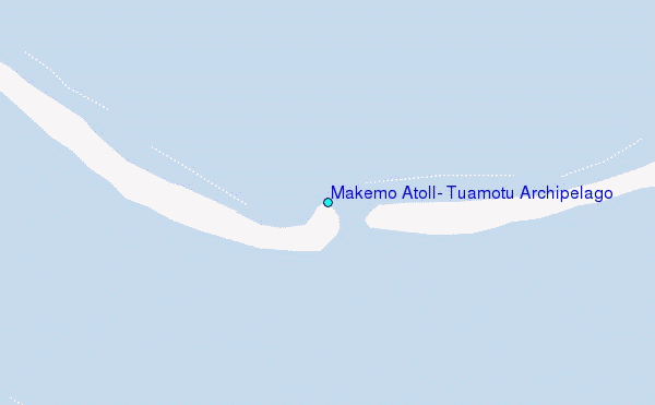
Use this relief map to navigate to tide stations, surf breaks and cities that are in the area of Makemo Atoll, Tuamotu Archipelago.
Other Nearby Locations' tide tables and tide charts to Makemo Atoll, Tuamotu Archipelago:
click location name for more details
 Surf breaks close to Makemo Atoll, Tuamotu Archipelago:
|
||
|---|---|---|
| Closest surf break | Ins and Outs | 384 mi |
| Second closest surf break | Teahupo’o | 385 mi |
| Third closest surf break | Faaone | 386 mi |
| Fourth closest surf break | Vairao | 387 mi |
| Fifth closest surf break | Papenoo Beach (Chinaman's Bay) | 390 mi |


 Nearest
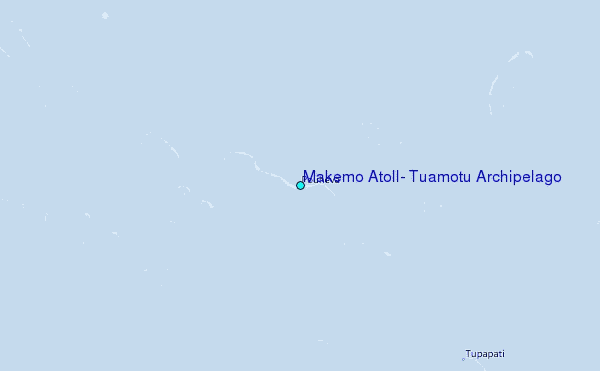