
| Distance / Altitude | Location | Report Date / Time | Live Weather | Wind | Gusts | Temp. | Visibility | Cloud |
|---|---|---|---|---|---|---|---|---|
| 83 km WNW / 229 m | Savoonga Airport (Alaska) | 2026-06-08 15:05 local (2026/06/08 23:05 GMT) | Dry and cloudy | moderate winds from the ENE (24 km/h at 70) | 2°C | 16 | broken overcast | |
| 136 km W / 347 m | Gambell Airport (Alaska) | 2026-06-08 14:56 local (2026/06/08 22:56 GMT) | Dry and cloudy | moderate winds from the ENE (24 km/h at 60) | 1°C | 16 | few overcast | |
| 137 km WNW / 3 m | BUOY-GBXA2 (Marine) | 2026-06-08 16:32 local (2026/06/09 00:32 GMT) | moderate winds from the ENE (24 km/h at 60) | 1°C | - | |||
| 217 km SE / 15 m | ASCATC193E62N (Marine) | 2026-06-08 14:13 local (2026/06/08 22:13 GMT) | light winds from the N (14 km/h at 7) | — | - km | |||
| 229 km SE / 581 m | Cape Romanzof Airport (Alaska) | 2026-06-08 14:55 local (2026/06/08 22:55 GMT) | Dry and partly cloudy | calm (0 km/h at 0) | 7°C | 16 | broken | |
| 237 km ENE / 15 m | ASCATC195E64N (Marine) | 2026-06-08 14:12 local (2026/06/08 22:12 GMT) | moderate winds from the N (23 km/h at 11) | — | - km | |||
| 244 km ESE / 4 m | Scammon Bay Airport (Alaska) | 2026-06-08 14:56 local (2026/06/08 22:56 GMT) | Dry and cloudy | wind obs. (13 kph from 310 degs) was rejected (- km/h at -) | 8°C | 16 | overcast | |
| 245 km SE / 400 m | Hooper Bay Airport (Alaska) | 2026-06-08 14:56 local (2026/06/08 22:56 GMT) | Clear | fresh winds from the NNW (30 km/h at 330) | — | 16 | ||
| 249 km NE / 3 m | BUOY-NMXA2 (Marine) | 2026-06-08 16:32 local (2026/06/09 00:32 GMT) | moderate winds from the SW (21 km/h at 220) | 4°C | - | |||
| 250 km NE / 3 m | BUOY-NMTA2 (Marine) | 2026-06-08 16:00 local (2026/06/09 00:00 GMT) | moderate winds from the SW (21 km/h at 230) | 5°C | - |
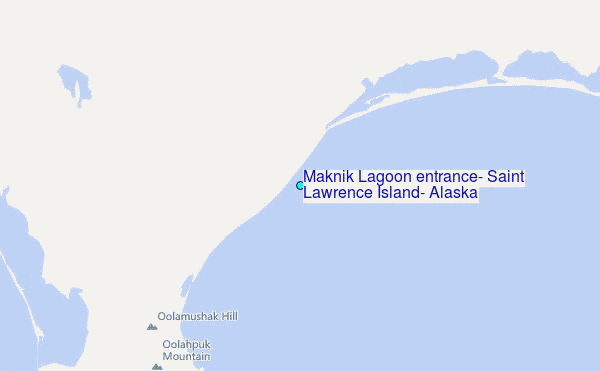
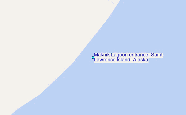
Choose Maknik Lagoon entrance, Saint Lawrence Island, Alaska Location Map Zoom:
| Contours: | Roads & Rivers: | Select a
tide station / surf break / city |
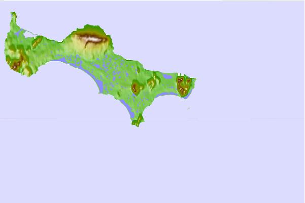
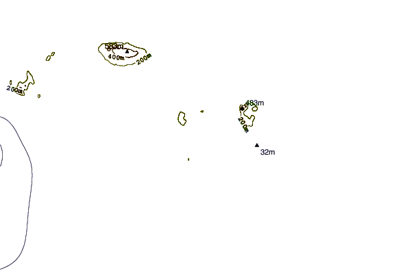
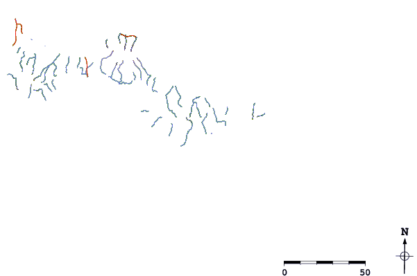
Use this relief map to navigate to tide stations, surf breaks and cities that are in the area of Maknik Lagoon entrance, Saint Lawrence Island, Alaska.
Other Nearby Locations' tide tables and tide charts to Maknik Lagoon entrance, Saint Lawrence Island, Alaska:
click location name for more details
 Surf breaks close to Maknik Lagoon entrance, Saint Lawrence Island, Alaska:
|
||
|---|---|---|
| Closest surf break | Bird Point (Tidal Bore) | 607 mi |
| Second closest surf break | Monashka Bay | 681 mi |
| Third closest surf break | Termination Point | 681 mi |
| Fourth closest surf break | Mill Bay | 684 mi |
| Fifth closest surf break | Fossil Beach Kodiak | 702 mi |


 Nearest
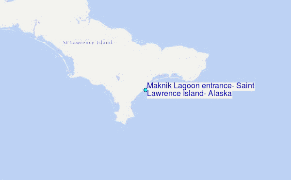