
| Distance / Altitude | Location | Report Date / Time | Live Weather | Wind | Gusts | Temp. | Visibility | Cloud |
|---|---|---|---|---|---|---|---|---|
| 7 km ENE / 31 m | Makung AB (Taiwan) | 2026-06-23 07:30 local (2026/06/22 23:30 GMT) | Dry and partly cloudy | light winds from the S (11 km/h at 170) | 28°C | 10.0 | few scattered | |
| 39 km ESE / 15 m | SHIP5613 (Marine) | 2026-06-23 08:00 local (2026/06/23 00:00 GMT) | - (- km/h at -) | — | - km | |||
| 92 km E / 60 m | Benjike wx (Taiwan) | 2026-06-23 07:30 local (2026/06/22 23:30 GMT) | - | calm (0 km/h at 270) | — | - | - - 0 | |
| 93 km SE / 194 m | Tainan (Taiwan) | 2026-06-23 08:00 local (2026/06/23 00:00 GMT) | no report | wind obs. (36 kph from 210 degs) was rejected (- km/h at -) | 32°C | 45 | - | |
| 93 km SE / 194 m | Tainan (Taiwan) | 2026-06-23 07:20 local (2026/06/22 23:20 GMT) | no report | wind obs. (36 kph from 210 degs) was rejected (- km/h at -) | 32°C | 45 | - | |
| 95 km SE / 19 m | Tainan Taiwan Air Force Base (Taiwan) | 2026-06-23 07:30 local (2026/06/22 23:30 GMT) | Dry and partly cloudy | calm (4 km/h at 290) | 29°C | 10.0 | few scattered broken | |
| 101 km NW / 15 m | SHIP5652 (Marine) | 2026-06-23 08:00 local (2026/06/23 00:00 GMT) | fresh winds from the SW (32.4 km/h at 220) | — | - km | |||
| 130 km W / 15 m | SHIP5626 (Marine) | 2026-06-23 08:00 local (2026/06/23 00:00 GMT) | light winds from the WSW (10.8 km/h at 250) | — | - km | |||
| 133 km ENE / 90 m | Taichung wx (Taiwan) | 2026-06-23 07:40 local (2026/06/22 23:40 GMT) | dry | light winds from the S (6 km/h at 180) | 28°C | - | - - 0 | |
| 135 km NE / 5 m | Wuchia Observatory Airport (Taiwan) | 2026-06-23 07:30 local (2026/06/22 23:30 GMT) | Dry and partly cloudy | light winds from the S (13 km/h at 180) | 29°C | 10.0 | few scattered |
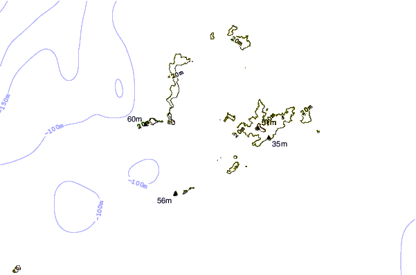
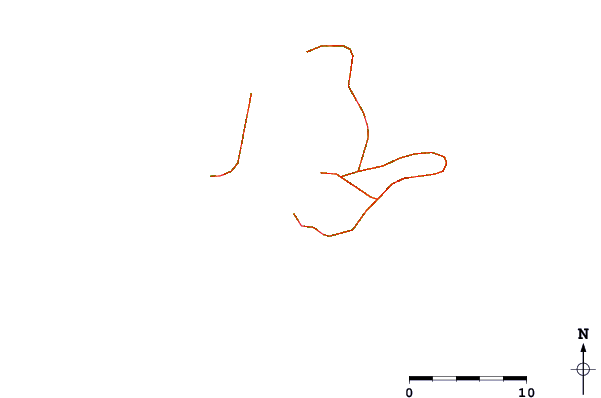
| Contours: | Roads & Rivers: | Select a
tide station / surf break / city |
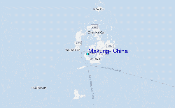
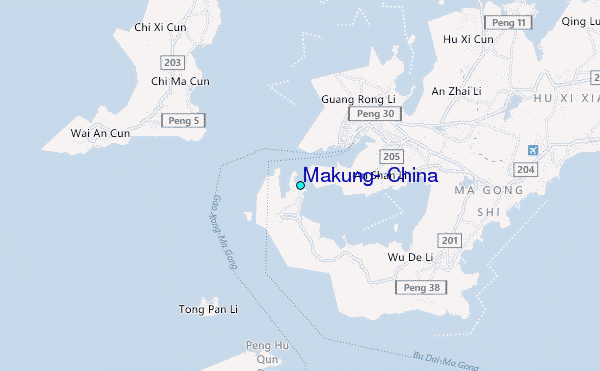
Use this relief map to navigate to tide stations, surf breaks and cities that are in the area of Makung, China.
Other Nearby Locations' tide tables and tide charts to Makung, China:
click location name for more details
 Surf breaks close to Makung, China:
|
||
|---|---|---|
| Closest surf break | Qingshan Bay | 102 mi |
| Second closest surf break | Chengkung | 120 mi |
| Third closest surf break | Tawu | 120 mi |
| Fourth closest surf break | Kenting | 134 mi |
| Fifth closest surf break | Nanwan Beach (South Bay) | 134 mi |


 Nearest
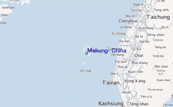