
| Distance / Altitude | Location | Report Date / Time | Live Weather | Wind | Gusts | Temp. | Visibility | Cloud |
|---|---|---|---|---|---|---|---|---|
| 64 km NNE / 293 m | Davao/Francisco Bangoy International Airport (Philippines) | 2026-04-20 18:00 local (2026/04/20 10:00 GMT) | Dry and partly cloudy | light winds from the S (7 km/h at 180) | 30°C | 10.0 | few scattered | |
| 64 km NNE / 293 m | Davao/Francisco Bangoy International Airport (Philippines) | 2026-04-20 18:00 local (2026/04/20 10:00 GMT) | Dry and partly cloudy | light winds from the S (7 km/h at 180) | 30°C | 10.0 | few scattered | |
| 230 km NW / 10 m | Opol (PI) | 2026-04-20 19:27 local (2026/04/20 11:27 GMT) | dry | calm (0 km/h at 94) | 28°C | - | - - 0 | |
| 284 km N / 36 m | Del Pilar wx (Philippines) | 2026-04-20 19:07 local (2026/04/20 11:07 GMT) | dry | calm (0 km/h at 0) | 26°C | - | - - 0 | |
| 363 km NNE / 20 m | BRAVO SIARGAO (Philippines) | 2026-04-20 19:00 local (2026/04/20 11:00 GMT) | - | light winds from the ENE (13 km/h at 57) | 28°C | - | - - 0 | |
| 370 km WSW / 417 m | Zamboanga Airport (Philippines) | 2026-04-20 18:00 local (2026/04/20 10:00 GMT) | haze | light winds from the W (9 km/h at 270) | 30°C | 9.0 | few - - | |
| 561 km S / 80 m | MenadoSamRatulangi (Indonesia) | 2026-04-20 19:00 local (2026/04/20 11:00 GMT) | - | calm (4 km/h at 40) | 27°C | 30 km | - scattered - | |
| 564 km S / 374 m | Menado/Sam Ratulangi International Airport (Indonesia) | 2026-04-20 18:30 local (2026/04/20 10:30 GMT) | Dry and partly cloudy | light winds from the NE (6 km/h at 50) | 27°C | 10.0 | scattered | |
| 636 km NW / 80 m | Dalipdip wx (Philippines) | 2026-04-20 19:20 local (2026/04/20 11:20 GMT) | dry | calm (3 km/h at 359) | 27°C | - | - - 0 | |
| 652 km NW / 6 m | Kalibo/panay Isl (Philippines) | 2026-04-20 18:00 local (2026/04/20 10:00 GMT) | Dry and partly cloudy | light winds from the NNE (7 km/h at 30) | 29°C | 10.0 | few broken |
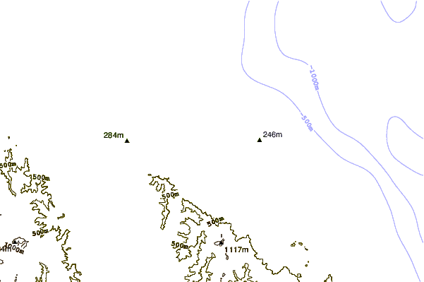
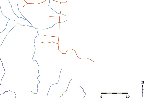
| Contours: | Roads & Rivers: | Select a
tide station / surf break / city |
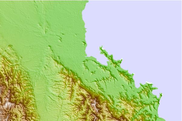
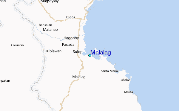
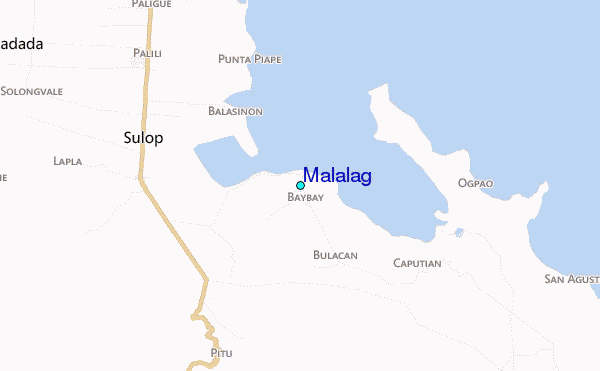
Use this relief map to navigate to tide stations, surf breaks and cities that are in the area of Malalag.
Other Nearby Locations' tide tables and tide charts to Malalag:
click location name for more details
 Surf breaks close to Malalag:
|
||
|---|---|---|
| Closest surf break | Tago River | 177 mi |
| Second closest surf break | Marami Beach | 181 mi |
| Third closest surf break | Lanuza Rivermouth | 188 mi |
| Fourth closest surf break | Big Star | 190 mi |
| Fifth closest surf break | Random Beach Break | 191 mi |


 Nearest
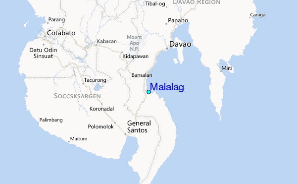