
| Distance / Altitude | Location | Report Date / Time | Live Weather | Wind | Gusts | Temp. | Visibility | Cloud |
|---|---|---|---|---|---|---|---|---|
| 26 km SW / 209 m | Dutch Harbor Airport (Alaska) | 2026-06-08 14:56 local (2026/06/08 22:56 GMT) | - | wind obs. (11 kph from 100 degs) was rejected (- km/h at -) | 8°C | 14 | few | |
| 26 km SW / 3 m | BUOY-DPLA2 (Marine) | 2026-06-08 16:32 local (2026/06/09 00:32 GMT) | light winds from the NE (15 km/h at 50) | 6°C | - | |||
| 27 km SW / 3 m | BUOY-UNLA2 (Marine) | 2026-06-08 16:00 local (2026/06/09 00:00 GMT) | light winds from the ENE (15 km/h at 60) | — | - | |||
| 27 km SW / 3 m | BUOY-DPXA2 (Marine) | 2026-06-08 16:32 local (2026/06/09 00:32 GMT) | light winds from the ENE (9 km/h at 60) | 8°C | - | |||
| 30 km SSW / 15 m | SHIP3623 (Marine) | 2026-06-08 16:00 local (2026/06/09 00:00 GMT) | - (- km/h at -) | — | - km | |||
| 30 km SSW / 15 m | SHIP8010 (Marine) | 2026-06-08 15:00 local (2026/06/08 23:00 GMT) | - (- km/h at -) | — | - km | |||
| 30 km SSW / 15 m | SHIP7544 (Marine) | 2026-06-08 16:00 local (2026/06/09 00:00 GMT) | - (- km/h at -) | — | - km | |||
| 30 km SSW / 3 m | SHIP7317 (Marine) | 2026-06-08 15:00 local (2026/06/08 23:00 GMT) | - (- km/h at -) | — | - | |||
| 30 km ENE / 3 m | BUOY-AKXA2 (Marine) | 2026-06-08 16:32 local (2026/06/09 00:32 GMT) | light winds from the ESE (9 km/h at 120) | 7°C | - | |||
| 30 km SSW / 15 m | SHIP4076 (Marine) | 2026-06-08 14:00 local (2026/06/08 22:00 GMT) | - (- km/h at -) | — | - km |
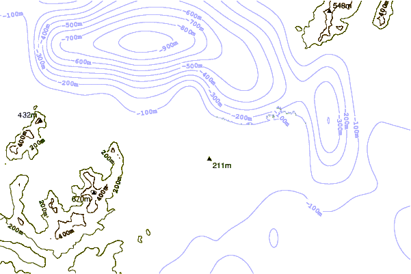
| Contours: | Roads & Rivers: | Select a
tide station / surf break / city |
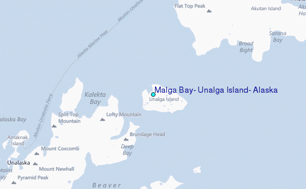
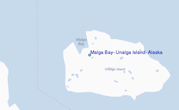
Use this relief map to navigate to tide stations, surf breaks and cities that are in the area of Malga Bay, Unalga Island, Alaska.
Other Nearby Locations' tide tables and tide charts to Malga Bay, Unalga Island, Alaska:
click location name for more details
 Surf breaks close to Malga Bay, Unalga Island, Alaska:
|
||
|---|---|---|
| Closest surf break | Fossil Beach Kodiak | 587 mi |
| Second closest surf break | Monashka Bay | 594 mi |
| Third closest surf break | Termination Point | 595 mi |
| Fourth closest surf break | Mill Bay | 596 mi |
| Fifth closest surf break | Bird Point (Tidal Bore) | 718 mi |


 Nearest
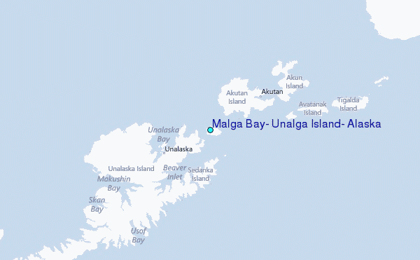