
| Distance / Altitude | Location | Report Date / Time | Live Weather | Wind | Gusts | Temp. | Visibility | Cloud |
|---|---|---|---|---|---|---|---|---|
| 61 km W / 9 m | Ngayawili (Australia) | 2024-07-27 14:30 local (2024/07/27 05:00 GMT) | - | light winds from the ENE (19 km/h at 60) | 30°C | - | no observation | |
| 78 km E / 54 m | Gove Airport (Australia) | 2024-07-27 14:30 local (2024/07/27 05:00 GMT) | no report | light winds from the E (19 km/h at 80) | 28°C | - | - no observation - | |
| 132 km WSW / 16 m | MilingimbiAws (Australia) | 2024-07-27 14:30 local (2024/07/27 05:00 GMT) | no report | light winds from the ENE (9 km/h at 70) | 26°C | - | - no observation - | |
| 149 km NNE / 19 m | CapeWessel (Australia) | 2024-07-27 14:30 local (2024/07/27 05:00 GMT) | no report | fresh winds from the ESE (35 km/h at 120) | 26°C | - | - no observation - | |
| 203 km S / 14 m | Groote Eylandt Airport Aws (Australia) | 2024-07-27 14:30 local (2024/07/27 05:00 GMT) | no report | light winds from the N (9 km/h at 350) | 29°C | - | - no observation - | |
| 204 km WSW / 30 m | Maningrida Aerodrome (Australia) | 2024-07-27 14:30 local (2024/07/27 05:00 GMT) | no report | light winds from the ENE (17 km/h at 60) | 30°C | - | - no observation - | |
| 252 km SSW / 105 m | Bulman Automatic Weather Station (Australia) | 2024-07-27 14:30 local (2024/07/27 05:00 GMT) | no report | light winds from the ESE (11 km/h at 120) | 22°C | - | - no observation - | |
| 293 km ENE / 15 m | SHIP2174 (Marine) | 2024-07-27 13:30 local (2024/07/27 04:00 GMT) | - (- km/h at -) | — | - km | |||
| 293 km ENE / 15 m | SHIP6441 (Marine) | 2024-07-27 13:30 local (2024/07/27 04:00 GMT) | - (- km/h at -) | — | - km | |||
| 293 km ENE / 3 m | SHIP9129 (Marine) | 2024-07-27 13:30 local (2024/07/27 04:00 GMT) | - (- km/h at -) | — | - |
| Contours: | Roads & Rivers: | Select a
tide station / surf break / city |
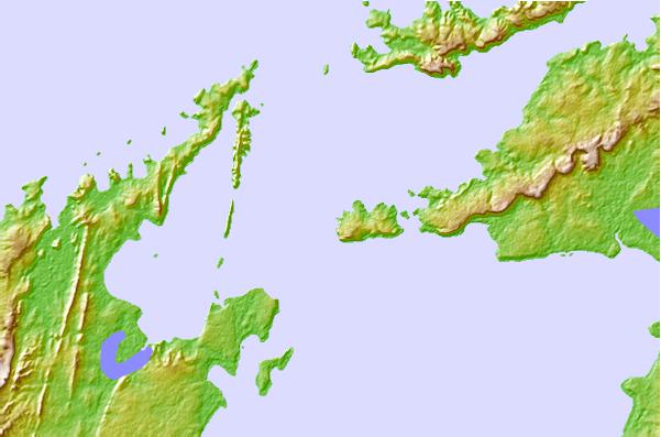
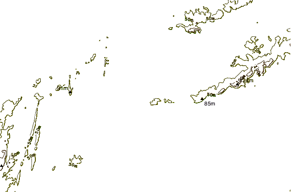
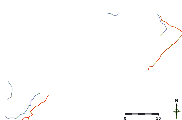
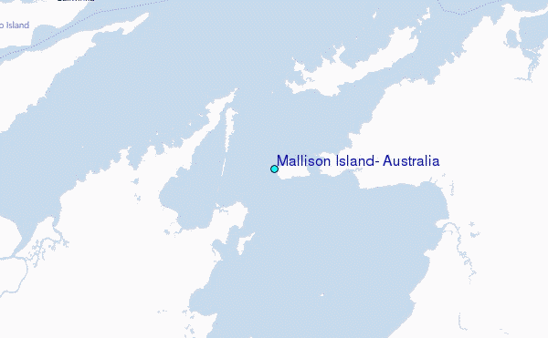
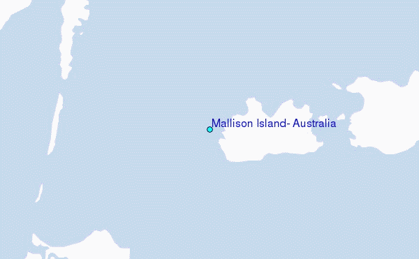
Use this relief map to navigate to tide stations, surf breaks and cities that are in the area of Mallison Island, Australia.
Other Nearby Locations' tide tables and tide charts to Mallison Island, Australia:
click location name for more details
 Surf breaks close to Mallison Island, Australia:
|
||
|---|---|---|
| Closest surf break | Casuarina (Darwin) | 354 mi |
| Second closest surf break | Rapid Creek - Bar | 354 mi |
| Third closest surf break | Rapid Creek - Beach | 354 mi |
| Fourth closest surf break | Rapid Creek - Reef | 355 mi |
| Fifth closest surf break | Fannie Bay | 356 mi |

 Nearest
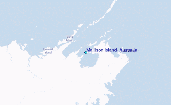