
| Distance / Altitude | Location | Report Date / Time | Live Weather | Wind | Gusts | Temp. | Visibility | Cloud |
|---|---|---|---|---|---|---|---|---|
| 23 km NNE / 217 m | Majene (Indonesia (sulawesi)) | 2026-04-05 17:00 local (2026/04/05 09:00 GMT) | - | wind obs. (6 kph from 230 degs) was rejected (- km/h at -) | 31°C | 32 km | mostly cloudy | |
| 225 km NNE / 6 m | PaluMutiara (Indonesia) | 2026-04-05 17:00 local (2026/04/05 09:00 GMT) | - | moderate winds from the NNW (24 km/h at 330) | — | 29 km | - mostly cloudy - | |
| 241 km NE / 2 m | PosoKasiguncu (Indonesia) | 2026-04-05 17:00 local (2026/04/05 09:00 GMT) | - | light winds from the NNE (11 km/h at 30) | 31°C | 29 km | - scattered - | |
| 271 km WNW / 3 m | Sepinggan Airport (Indonesia) | 2026-04-05 17:30 local (2026/04/05 09:30 GMT) | Thunderstorm light rain thunderstorm | wind obs. (9 kph from 40 degs) was rejected (- km/h at -) | 30°C | 10.0 | few few - | |
| 274 km SSE / 217 m | Hasanuddin/Ujung Airport (Indonesia) | 2026-04-05 17:30 local (2026/04/05 09:30 GMT) | Shower - in the vicinity | wind obs. (11 kph from 320 degs) was rejected (- km/h at -) | 30°C | 9.0 | few scattered | |
| 275 km SSE / 14 m | UjungPandangHasanuddin (Indonesia) | 2026-04-05 17:00 local (2026/04/05 09:00 GMT) | Distant precipitation but not falling at station | wind obs. (7 kph from 290 degs) was rejected (- km/h at -) | 31°C | 30 km | mostly cloudy | |
| 441 km WSW / 1 m | lightning 59km WSW of Barabai (Indonesia) | 2026-04-05 18:48 local (2026/04/05 10:48 GMT) | Thunderstorm | (- km/h at -) | — | |||
| 466 km WSW / 20 m | Syamsudin Noor International Airport (Indonesia) | 2026-04-05 17:30 local (2026/04/05 09:30 GMT) | Dry and partly cloudy | light winds from the SW (7 km/h at 230) | 27°C | 9.0 | scattered | |
| 467 km WSW / 20 m | BanjarmasinSyamsudinNoor (Indonesia) | 2026-04-05 17:00 local (2026/04/05 09:00 GMT) | Thunderstorms | light winds from the S (9 km/h at 180) | 27°C | 28 km | - mostly cloudy - | |
| 468 km ENE / 2 m | LuwukBubung (Indonesia) | 2026-04-05 17:00 local (2026/04/05 09:00 GMT) | - | light winds from the ENE (6 km/h at 70) | 31°C | 30 km | - few - |
| Contours: | Roads & Rivers: | Select a
tide station / surf break / city |
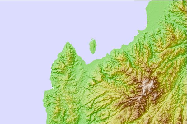
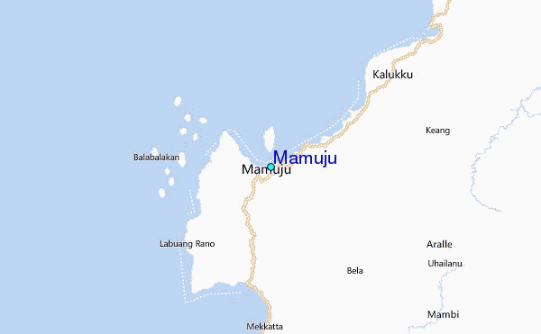
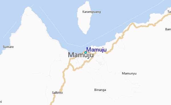
Use this relief map to navigate to tide stations, surf breaks and cities that are in the area of Mamuju.
Other Nearby Locations' tide tables and tide charts to Mamuju:
click location name for more details
 Surf breaks close to Mamuju:
|
||
|---|---|---|
| Closest surf break | Periscope Point | 423 mi |
| Second closest surf break | Lakey Peak | 424 mi |
| Third closest surf break | Lakey Pipe | 424 mi |
| Fourth closest surf break | Nungas | 424 mi |
| Fifth closest surf break | Cobblestones | 426 mi |


 Nearest
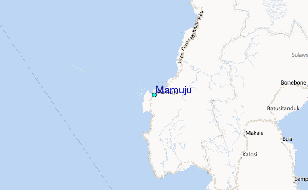