
| Distance / Altitude | Location | Report Date / Time | Live Weather | Wind | Gusts | Temp. | Visibility | Cloud |
|---|---|---|---|---|---|---|---|---|
| 11 km SE / 3 m | thunderstorm affecting Homosassa (United States) | 2026-03-07 19:16 local (2026/03/08 00:16 GMT) | Thunderstorm | (- km/h at -) | — | |||
| 14 km ENE / 4 m | thunderstorm affecting Crystal River (United States) | 2026-03-07 19:03 local (2026/03/08 00:03 GMT) | Thunderstorm | (- km/h at -) | — | |||
| 15 km E / 3 m | Crystal River Airport (Florida) (Florida) | 2026-03-07 18:35 local (2026/03/07 23:35 GMT) | Dry and partly cloudy | light winds from the WSW (11 km/h at 250) | 24°C | 16 | scattered scattered | |
| 21 km ESE / 6 m | lightning 5km E of Homosassa Springs (United States) | 2026-03-07 19:02 local (2026/03/08 00:02 GMT) | Thunderstorm | (- km/h at -) | — | |||
| 23 km ESE / 21 m | lightning 6km N of Sugarmill Woods (United States) | 2026-03-07 19:04 local (2026/03/08 00:04 GMT) | Thunderstorm | (- km/h at -) | — | |||
| 24 km E / 16 m | thunderstorm affecting Lecanto (United States) | 2026-03-07 19:02 local (2026/03/08 00:02 GMT) | Thunderstorm | (- km/h at -) | — | |||
| 25 km ENE / 30 m | thunderstorm affecting Pine Ridge (United States) | 2026-03-07 19:16 local (2026/03/08 00:16 GMT) | Thunderstorm | (- km/h at -) | — | |||
| 26 km E / 29 m | thunderstorm affecting Citrus Hills (United States) | 2026-03-07 19:17 local (2026/03/08 00:17 GMT) | Thunderstorm | (- km/h at -) | — | |||
| 26 km NE / 37 m | lightning 5km WNW of Citrus Springs (United States) | 2026-03-07 19:05 local (2026/03/08 00:05 GMT) | Thunderstorm | (- km/h at -) | — | |||
| 28 km E / 15 m | thunderstorm affecting Beverly Hills (United States) | 2026-03-07 19:05 local (2026/03/08 00:05 GMT) | Thunderstorm | (- km/h at -) | — |
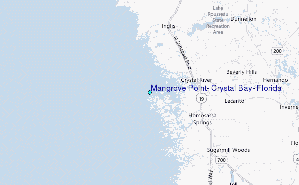
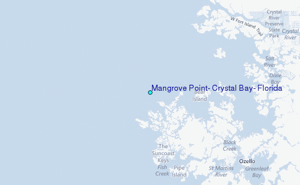
Choose Mangrove Point, Crystal Bay, Florida Location Map Zoom:
| Contours: | Roads & Rivers: | Select a
tide station / surf break / city |
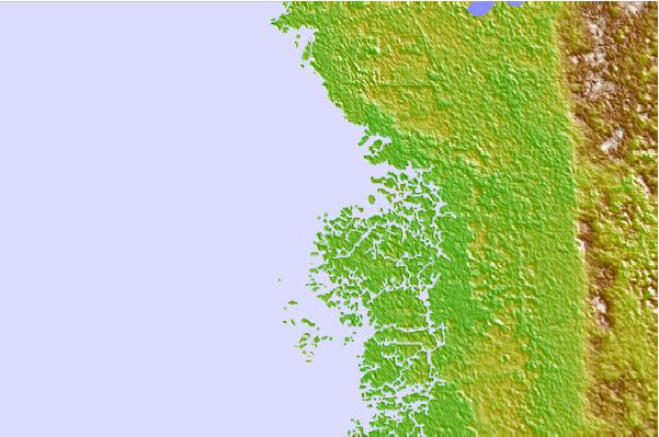
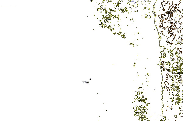
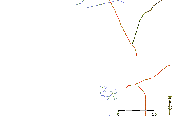
Use this relief map to navigate to tide stations, surf breaks and cities that are in the area of Mangrove Point, Crystal Bay, Florida.
Other Nearby Locations' tide tables and tide charts to Mangrove Point, Crystal Bay, Florida:
click location name for more details
 Surf breaks close to Mangrove Point, Crystal Bay, Florida:
|
||
|---|---|---|
| Closest surf break | Anclote Island | 47 mi |
| Second closest surf break | Honeymoon Island | 52 mi |
| Third closest surf break | Clearwater Pass | 63 mi |
| Fourth closest surf break | Clearwater Beach | 64 mi |
| Fifth closest surf break | Sand Key Park | 64 mi |


 Nearest
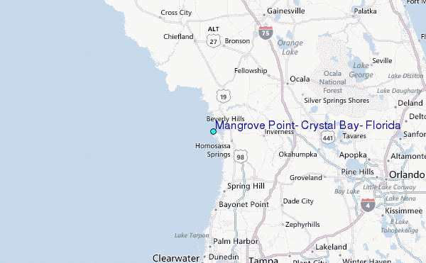