
| Distance / Altitude | Location | Report Date / Time | Live Weather | Wind | Gusts | Temp. | Visibility | Cloud |
|---|---|---|---|---|---|---|---|---|
| 6 km NNE / 216 m | Los Angeles Airport (California) | 2026-06-02 00:53 local (2026/06/02 07:53 GMT) | Dry and cloudy | light winds from the SW (6 km/h at 220) | 17°C | 14 | few overcast | |
| 8 km ENE / 218 m | Hawthorne Airport (California) | 2026-06-02 01:18 local (2026/06/02 08:18 GMT) | Dry and cloudy | calm (0 km/h at 0) | 17°C | 16 | overcast | |
| 15 km NW / 218 m | Santa Monica Airport (California) | 2026-06-02 00:51 local (2026/06/02 07:51 GMT) | Dry and cloudy | light winds from the W (7 km/h at 260) | 16°C | 13 | overcast | |
| 16 km NW / 3 m | BUOY-ICAC1 (Marine) | 2026-06-02 02:00 local (2026/06/02 09:00 GMT) | calm (5 km/h at 300) | 16°C | - | |||
| 19 km SE / 3 m | BUOY-PXAC1 (Marine) | 2026-06-02 02:00 local (2026/06/02 09:00 GMT) | calm (5 km/h at 150) | — | - | |||
| 20 km SE / 3 m | BUOY-BAXC1 (Marine) | 2026-06-02 02:00 local (2026/06/02 09:00 GMT) | light winds from the SE (8 km/h at 140) | — | - | |||
| 21 km WSW / 3 m | Santa Monica Bay- CA (Marine) | 2026-06-02 02:26 local (2026/06/02 09:26 GMT) | - (- km/h at -) | — | - | |||
| 21 km SE / 3 m | BUOY-PSXC1 (Marine) | 2026-06-02 02:00 local (2026/06/02 09:00 GMT) | calm (4 km/h at 150) | — | - | |||
| 22 km SE / 3 m | BUOY-OHBC1 (Marine) | 2026-06-02 02:00 local (2026/06/02 09:00 GMT) | - (- km/h at -) | — | - | |||
| 22 km WNW / 3 m | BUOY-46268 (Marine) | 2026-06-02 02:00 local (2026/06/02 09:00 GMT) | - (- km/h at -) | — | - |
| Contours: | Roads & Rivers: | Select a
tide station / surf break / city |
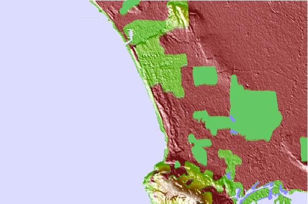
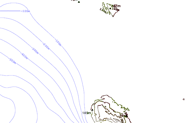
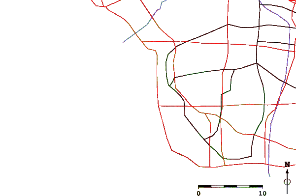
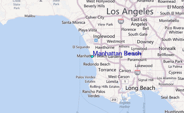
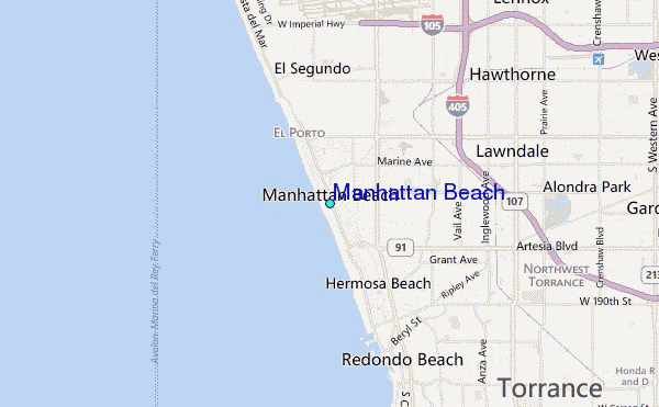
Use this relief map to navigate to tide stations, surf breaks and cities that are in the area of Manhattan Beach.
Other Nearby Locations' tide tables and tide charts to Manhattan Beach:
click location name for more details
 Surf breaks close to Manhattan Beach:
|
||
|---|---|---|
| Closest surf break | Manhattan 26th street | 0 mi |
| Second closest surf break | Manhattan Beach and Pier | 1 mi |
| Third closest surf break | El Porto Beach | 2 mi |
| Fourth closest surf break | El Segundo Beach Jetty | 2 mi |
| Fifth closest surf break | Hammerland | 2 mi |


 Nearest
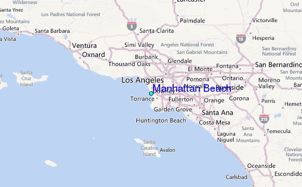