
| Distance / Altitude | Location | Report Date / Time | Live Weather | Wind | Gusts | Temp. | Visibility | Cloud |
|---|---|---|---|---|---|---|---|---|
| 0 km E / 1 m | Manningtree wx (United Kingdom) | 2026-05-24 16:41 local (2026/05/24 15:41 GMT) | dry | light winds from the E (19 km/h at 96) | 21°C | - | - - 0 | |
| 16 km NE / 34 m | Ipswich (United Kingdom) | 2026-05-24 16:03 local (2026/05/24 15:03 GMT) | dry | calm (2 km/h at 122) | 29°C | - | - - 0 | |
| 20 km NW / 217 m | Wattisham RAF (United Kingdom) | 2026-05-24 16:00 local (2026/05/24 15:00 GMT) | Dry and partly cloudy | light winds from the SSE (15 km/h at 160) | 25°C | 10.0 | no cloud - - | |
| 23 km E / 3 m | Felixstowe Waverider (Marine) | 2026-05-24 16:00 local (2026/05/24 15:00 GMT) | - (- km/h at -) | — | - | |||
| 27 km NE / 42 m | Woodbridge (United Kingdom) | 2026-05-24 16:03 local (2026/05/24 15:03 GMT) | dry | light winds from the S (8 km/h at 184) | 26°C | - | - - 0 | |
| 35 km SW / 42 m | Braintree wx (United Kingdom) | 2026-05-24 16:47 local (2026/05/24 15:47 GMT) | dry | light winds from the SE (13 km/h at 130) | 25°C | - | - - 0 | |
| 45 km NW / 46 m | Hepworth (United Kingdom) | 2026-05-24 15:51 local (2026/05/24 14:51 GMT) | dry | light winds from the SSE (6 km/h at 157) | 29°C | - | - - 0 | |
| 48 km WSW / 67 m | Great Dunmow wx (United Kingdom) | 2026-05-24 16:42 local (2026/05/24 15:42 GMT) | dry | calm (2 km/h at 158) | 27°C | - | - - 0 | |
| 48 km SW / 72 m | Chelmsford (United Kingdom) | 2026-05-24 16:51 local (2026/05/24 15:51 GMT) | dry | calm (5 km/h at 104) | 28°C | - | - - 0 | |
| 49 km S / 217 m | Southend-on-sea Airport (United Kingdom) | 2026-05-24 15:20 local (2026/05/24 14:20 GMT) | - | light winds from the E (15 km/h at 100) | — | 0.0 |
| Contours: | Roads & Rivers: | Select a
tide station / surf break / city |
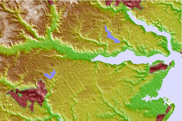
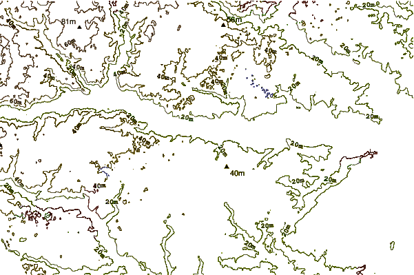
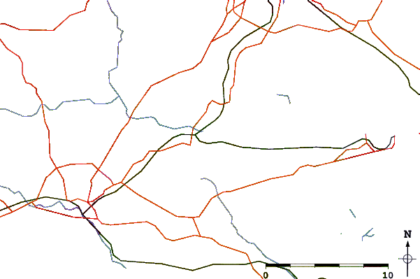
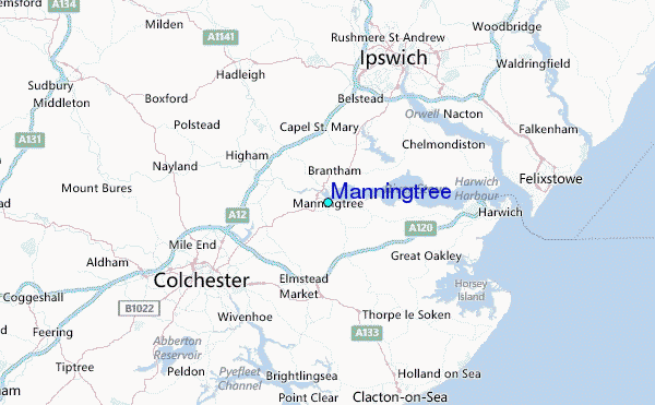
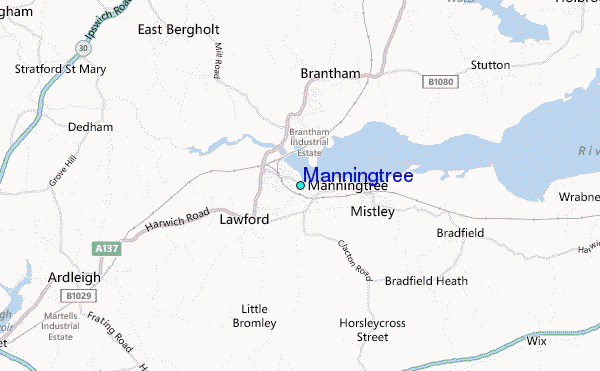
Use this relief map to navigate to tide stations, surf breaks and cities that are in the area of Manningtree.
Other Nearby Locations' tide tables and tide charts to Manningtree:
click location name for more details
 Surf breaks close to Manningtree:
|
||
|---|---|---|
| Closest surf break | Walton-On-The-Naze | 11 mi |
| Second closest surf break | Walberswick | 35 mi |
| Third closest surf break | Joss Bay | 42 mi |
| Fourth closest surf break | Broadstairs | 44 mi |
| Fifth closest surf break | Ramsgate | 45 mi |


 Nearest
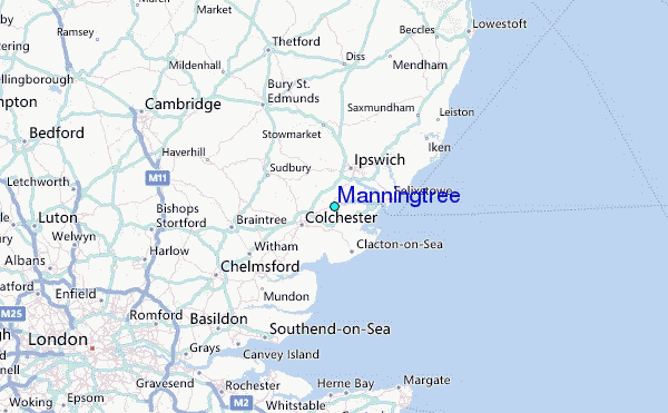