
| Distance / Altitude | Location | Report Date / Time | Live Weather | Wind | Gusts | Temp. | Visibility | Cloud |
|---|---|---|---|---|---|---|---|---|
| 2 km SE / 3 m | Manzanillo- Col. (Mexico) | 2026-04-01 18:00 local (2026/04/02 00:00 GMT) | no report | calm (4 km/h at 180) | 25°C | 6 | - | |
| 26 km W / 334 m | Manzanillo International Airport (Mexico) | 2026-04-01 18:40 local (2026/04/02 00:40 GMT) | - | wind obs. (19 kph from 310 degs) was rejected (- km/h at -) | — | 16 | ||
| 84 km ENE / 728 m | Colima (Mexico) | 2026-04-01 18:41 local (2026/04/02 00:41 GMT) | - | light winds from the WSW (19 km/h at 250) | — | 10 | ||
| 84 km ENE / 728 m | Colima Airport (Mexico) | 2026-04-01 17:40 local (2026/04/01 23:40 GMT) | - | moderate winds from the WSW (28 km/h at 250) | — | 10 | ||
| 115 km NE / 1573 m | Rancho de Don Luis Martínez wx (Mexico) | 2026-04-01 18:32 local (2026/04/02 00:32 GMT) | dry | wind obs. (11 kph from 153 degs) was rejected (- km/h at -) | 23°C | - | - - 0 | |
| 199 km NW / 6 m | Puerto Vallarta (Mexico) | 2026-04-01 18:05 local (2026/04/02 00:05 GMT) | dry | wind obs. (10 kph from 176 degs) was rejected (- km/h at -) | 27°C | - | - - 0 | |
| 203 km NW / 169 m | Puerto Vallarta Airport (Mexico) | 2026-04-01 18:40 local (2026/04/02 00:40 GMT) | - | light winds from the SSW (15 km/h at 200) | — | 13 | ||
| 204 km NNE / 1586 m | Guadalajara (Mexico) | 2026-04-01 18:00 local (2026/04/02 00:00 GMT) | no report | calm (4 km/h at 290) | 18°C | 20 | - | |
| 208 km NNE / 1551 m | Guadalajara- Jal. (Mexico) | 2026-04-01 18:00 local (2026/04/02 00:00 GMT) | no report | calm (4 km/h at 290) | 23°C | 10 | - | |
| 236 km ENE / 1589 m | Zamora (Mexico) | 2026-04-01 18:00 local (2026/04/02 00:00 GMT) | no report | wind obs. (6 kph from 100 degs) was rejected (- km/h at -) | 21°C | 20 | - |
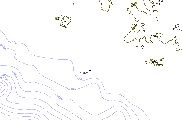
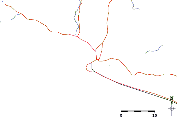
| Contours: | Roads & Rivers: | Select a
tide station / surf break / city |
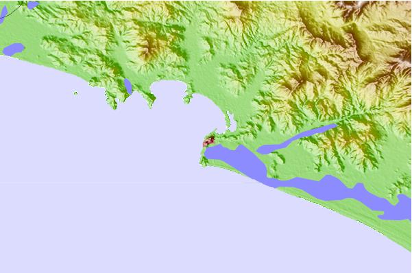
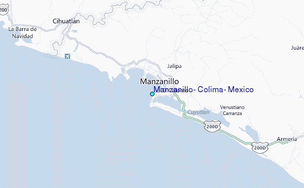
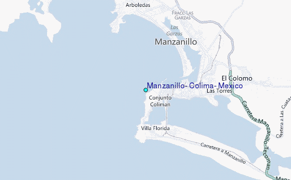
Use this relief map to navigate to tide stations, surf breaks and cities that are in the area of Manzanillo, Colima, Mexico.
Other Nearby Locations' tide tables and tide charts to Manzanillo, Colima, Mexico:
click location name for more details
 Surf breaks close to Manzanillo, Colima, Mexico:
|
||
|---|---|---|
| Closest surf break | Campos at Manzanillo | 2 mi |
| Second closest surf break | Cuyutlan | 12 mi |
| Third closest surf break | The Colonia | 17 mi |
| Fourth closest surf break | El Paraiso | 24 mi |
| Fifth closest surf break | Pascuales | 28 mi |


 Nearest