
| Distance / Altitude | Location | Report Date / Time | Live Weather | Wind | Gusts | Temp. | Visibility | Cloud |
|---|---|---|---|---|---|---|---|---|
| 95 km ENE / 208 m | Holguin Airport (Cuba) | 2026-04-28 08:50 local (2026/04/28 12:50 GMT) | - | light winds from the E.(Wind varies from 030 to 100 degs) (11 km/h at 80) | 26°C | 9.0 | few | |
| 141 km NW / 212 m | Camaguey/Ignacio Agramonte Internationa Airport (Cuba) | 2026-04-28 08:50 local (2026/04/28 12:50 GMT) | - | light winds from the E (15 km/h at 90) | 26°C | 9.0 | few | |
| 141 km ESE / 209 m | Santiago De Cuba Airport (Cuba) | 2026-04-28 08:50 local (2026/04/28 12:50 GMT) | - | light winds from the N.(Wind varies from 340 to 060 degs) (9 km/h at 10) | 27°C | 9.0 | few | |
| 205 km ESE / 203 m | Guantanamo Bay Airport (Cuba) | 2026-04-28 08:51 local (2026/04/28 12:51 GMT) | - | light winds from the NNW (11 km/h at 330) | 25°C | 16 | few few | |
| 221 km S / 193 m | Sangster/Montego Bay Airport (Jamaica) | 2026-04-28 09:00 local (2026/04/28 13:00 GMT) | - | moderate winds from the E (20 km/h at 80) | 28°C | 10.0 | few | |
| 260 km S / 76 m | Twickenham Park wx (Jamaica) | 2026-04-28 10:41 local (2026/04/28 14:41 GMT) | dry | calm (0 km/h at 325) | 30°C | - | - - 0 | |
| 272 km S / 191 m | Kingston/Norman Manley International Airport (Jamaica) | 2026-04-28 10:00 local (2026/04/28 14:00 GMT) | - | light winds from the NNW (9 km/h at 340) | 28°C | - | - no observation - | |
| 289 km SW / 24 m | Cayman Brac (Cayman Islands) | 2026-04-28 10:41 local (2026/04/28 14:41 GMT) | dry | calm (0 km/h at 71) | 31°C | - | - - 0 | |
| 299 km SW / 362 m | Gerrard Smith Airport (Grand Cayman Is) | 2026-04-28 09:00 local (2026/04/28 13:00 GMT) | - | light winds from the E (19 km/h at 90) | 28°C | 10.0 | few | |
| 302 km SE / 3 m | SHIP6743 (Marine) | 2026-04-28 08:00 local (2026/04/28 12:00 GMT) | - (- km/h at -) | 27°C | - |
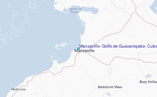
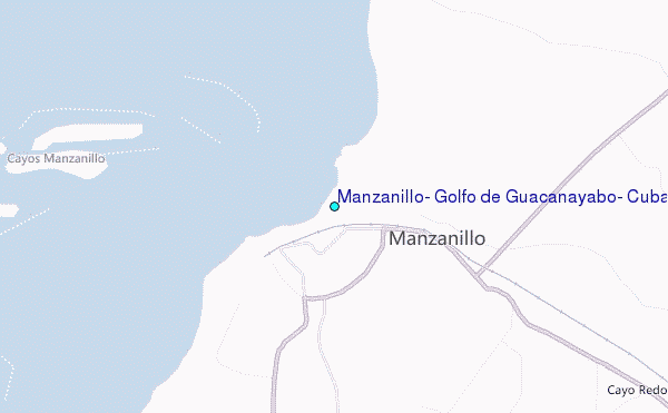
Choose Manzanillo, Golfo de Guacanayabo, Cuba Location Map Zoom:
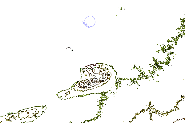
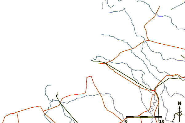
| Contours: | Roads & Rivers: | Select a
tide station / surf break / city |
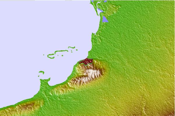
Use this relief map to navigate to tide stations, surf breaks and cities that are in the area of Manzanillo, Golfo de Guacanayabo, Cuba.
Other Nearby Locations' tide tables and tide charts to Manzanillo, Golfo de Guacanayabo, Cuba:
click location name for more details
 Surf breaks close to Manzanillo, Golfo de Guacanayabo, Cuba:
|
||
|---|---|---|
| Closest surf break | Discovery Bay | 131 mi |
| Second closest surf break | Runaway Bay | 131 mi |
| Third closest surf break | Peenie Wally | 150 mi |
| Fourth closest surf break | Navy Island | 155 mi |
| Fifth closest surf break | Winnifred Beach | 158 mi |


 Nearest
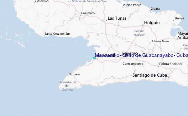