
| Distance / Altitude | Location | Report Date / Time | Live Weather | Wind | Gusts | Temp. | Visibility | Cloud |
|---|---|---|---|---|---|---|---|---|
| 6 km SSE / 52 m | Dabolim Airport - Goa (India) | 2025-12-26 17:00 local (2025/12/26 11:30 GMT) | Haze - | light winds from the NNW (13 km/h at 330) | 29°C | 4.0 | no significant cloud | |
| 8 km NNE / 64 m | GoaPanjim (India) | 2025-12-26 14:30 local (2025/12/26 09:00 GMT) | - | calm (4 km/h at 50) | 33°C | 4 km | clear | |
| 79 km SSE / 4 m | Karwar (India) | 2025-12-26 14:30 local (2025/12/26 09:00 GMT) | - | calm (4 km/h at 320) | 34°C | 10 km | clear | |
| 100 km ENE / 755 m | BelgaumSambre (India) | 2025-12-26 14:30 local (2025/12/26 09:00 GMT) | - | light winds from the ESE (11 km/h at 110) | 27°C | 4 km | - few - | |
| 101 km ENE / 758 m | Belgaum Airport (India) | 2025-12-26 16:00 local (2025/12/26 10:30 GMT) | Dry and partly cloudy | light winds from the E (11 km/h at 100) | 27°C | 6.0 | no significant cloud | |
| 138 km E / 662 m | Hubli Airport (India) | 2025-12-26 16:00 local (2025/12/26 10:30 GMT) | Dry and partly cloudy | light winds from the ESE (9 km/h at 120) | 28°C | 6.0 | no significant cloud | |
| 147 km NNE / 570 m | Kolhapur (India) | 2025-12-26 16:00 local (2025/12/26 10:30 GMT) | Dry and partly cloudy | light winds from the ESE (11 km/h at 120) | 27°C | 7.0 | no significant cloud - - | |
| 180 km NW / 210 m | Ratnagiri (India) | 2025-12-26 14:30 local (2025/12/26 09:00 GMT) | Haze | light winds from the NE (6 km/h at 50) | 32°C | 2 km | clear | |
| 196 km E / 220 m | Gadag (India) | 2025-12-26 14:30 local (2025/12/26 09:00 GMT) | - | calm (4 km/h at 50) | 27°C | 10 km | clear | |
| 276 km NW / 20 m | Harnai (India) | 2025-12-26 14:30 local (2025/12/26 09:00 GMT) | Haze | calm (0 km/h at 0) | 31°C | 4 km | clear |
| Contours: | Roads & Rivers: | Select a
tide station / surf break / city |
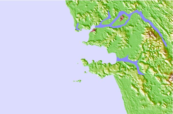
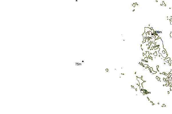
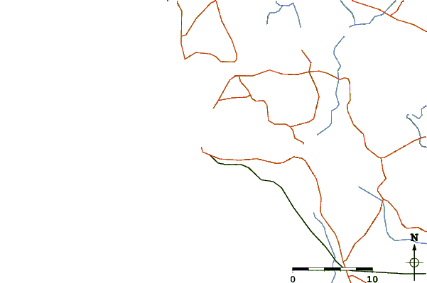
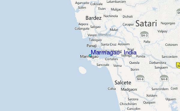
Use this relief map to navigate to tide stations, surf breaks and cities that are in the area of Marmagao, India.
Other Nearby Locations' tide tables and tide charts to Marmagao, India:
click location name for more details
 Surf breaks close to Marmagao, India:
|
||
|---|---|---|
| Closest surf break | Betalbatim Beach Taj | 11 mi |
| Second closest surf break | Benaulim Beach | 14 mi |
| Third closest surf break | Morjim Beach | 16 mi |
| Fourth closest surf break | Arambol | 20 mi |
| Fifth closest surf break | Agonda | 29 mi |


 Nearest
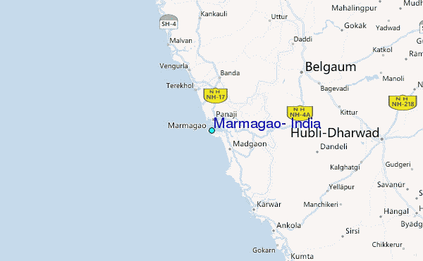