
| Distance / Altitude | Location | Report Date / Time | Live Weather | Wind | Gusts | Temp. | Visibility | Cloud |
|---|---|---|---|---|---|---|---|---|
| 55 km NE / 192 m | Managua/Augusto Cesar Sandino International Airport (Nicaragua) | 2025-12-18 23:00 local (2025/12/19 05:00 GMT) | - | light winds from the E (11 km/h at 80) | 26°C | 10.0 | few | |
| 168 km SE / 415 m | Liberia/Tomas Guardia Airport (Costa Rica) | 2025-12-18 23:00 local (2025/12/19 05:00 GMT) | Dry and partly cloudy | light winds from the S (11 km/h at 180) | — | 0.0 | few scattered - | |
| 169 km SE / 80 m | DanielOduberInt. Airport (Costa Rica) | 2025-12-19 00:00 local (2025/12/19 06:00 GMT) | - | light winds from the NNE (7 km/h at 30) | 21°C | 40 km | clear | |
| 250 km SSW / 15 m | ASCATC272E10N (Marine) | 2025-12-18 21:47 local (2025/12/19 03:47 GMT) | light winds from the WSW (10 km/h at 258) | — | - km | |||
| 262 km NW / 1063 m | Tegucigalpa/Toncontín International Airport (Honduras) | 2025-12-19 00:00 local (2025/12/19 06:00 GMT) | Haze | calm (4 km/h at 990) | 17°C | 30 km | scattered few - | |
| 309 km NW / 625 m | SotoCanoAB (Honduras) | 2025-12-19 00:00 local (2025/12/19 06:00 GMT) | Mist | calm (0 km/h at 0) | 19°C | 30 km | few | |
| 318 km SSW / 15 m | ASCATC271E10N (Marine) | 2025-12-18 21:47 local (2025/12/19 03:47 GMT) | light winds from the NW (12 km/h at 311) | — | - km | |||
| 320 km SE / 692 m | Juan Santamaria Airport (Costa Rica) | 2025-12-18 23:00 local (2025/12/19 05:00 GMT) | - | light winds from the ENE (15 km/h at 60) | — | 0.0 | ||
| 321 km SSW / 15 m | ASCATC272E9N (Marine) | 2025-12-18 21:47 local (2025/12/19 03:47 GMT) | light winds from the NW (12 km/h at 309) | — | - km | |||
| 324 km SE / 908 m | JuanSantamariaInt. Airport (Costa Rica) | 2025-12-19 00:00 local (2025/12/19 06:00 GMT) | - | light winds from the NE (15 km/h at 50) | 20°C | 40 km | clear |
| Contours: | Roads & Rivers: | Select a
tide station / surf break / city |
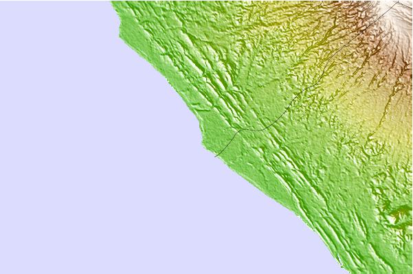
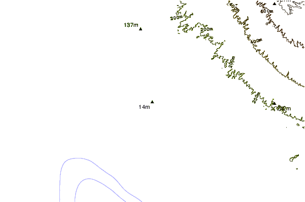
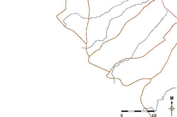
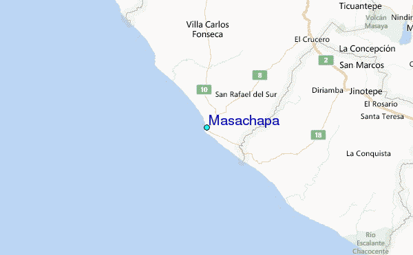
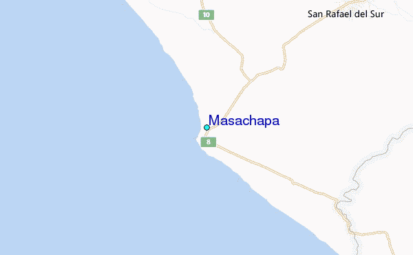
Use this relief map to navigate to tide stations, surf breaks and cities that are in the area of Masachapa.
Other Nearby Locations' tide tables and tide charts to Masachapa:
click location name for more details
 Surf breaks close to Masachapa:
|
||
|---|---|---|
| Closest surf break | Masa Chapa | 1 mi |
| Second closest surf break | Montelimar | 1 mi |
| Third closest surf break | Melon and Pochomil | 1 mi |
| Fourth closest surf break | Pochomil Viejo | 2 mi |
| Fifth closest surf break | Casares | 7 mi |


 Nearest
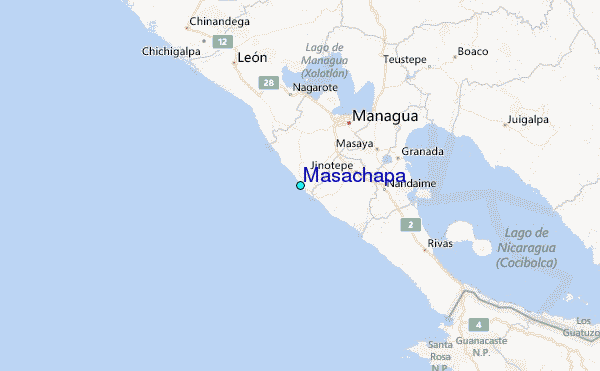