
| Distance / Altitude | Location | Report Date / Time | Live Weather | Wind | Gusts | Temp. | Visibility | Cloud |
|---|---|---|---|---|---|---|---|---|
| 29 km S / 75 m | Albany (New Zealand) | 2026-04-09 01:06 local (2026/04/08 13:06 GMT) | dry | calm (2 km/h at 160) | 14°C | - | - - 0 | |
| 30 km S / 64 m | Auckland (New Zealand) | 2026-04-09 01:21 local (2026/04/08 13:21 GMT) | dry | calm (0 km/h at 199) | 16°C | - | - - 0 | |
| 45 km S / 15 m | SHIP9060 (Marine) | 2026-04-09 00:00 local (2026/04/08 12:00 GMT) | - (- km/h at -) | — | - km | |||
| 46 km S / 71 m | Kauri Point (New Zealand) | 2026-04-09 00:52 local (2026/04/08 12:52 GMT) | dry | calm (0 km/h at 210) | 18°C | - | - - 0 | |
| 51 km S / 46 m | Auckland (New Zealand) | 2026-04-09 00:50 local (2026/04/08 12:50 GMT) | dry | calm (5 km/h at 160) | 17°C | - | - - 0 | |
| 45 km S / 15 m | SHIP8487 (Marine) | 2026-04-09 01:00 local (2026/04/08 13:00 GMT) | - (- km/h at -) | — | - km | |||
| 45 km S / 15 m | SHIP5859 (Marine) | 2026-04-09 01:00 local (2026/04/08 13:00 GMT) | - (- km/h at -) | — | - km | |||
| 45 km S / 15 m | SHIP4120 (Marine) | 2026-04-09 00:00 local (2026/04/08 12:00 GMT) | - (- km/h at -) | — | - km | |||
| 46 km S / 71 m | Kauri Point (New Zealand) | 2026-04-09 00:52 local (2026/04/08 12:52 GMT) | dry | calm (0 km/h at 210) | 18°C | - | - - 0 | |
| 51 km S / 46 m | Auckland (New Zealand) | 2026-04-09 00:50 local (2026/04/08 12:50 GMT) | dry | calm (5 km/h at 160) | 17°C | - | - - 0 |
| Contours: | Roads & Rivers: | Select a
tide station / surf break / city |
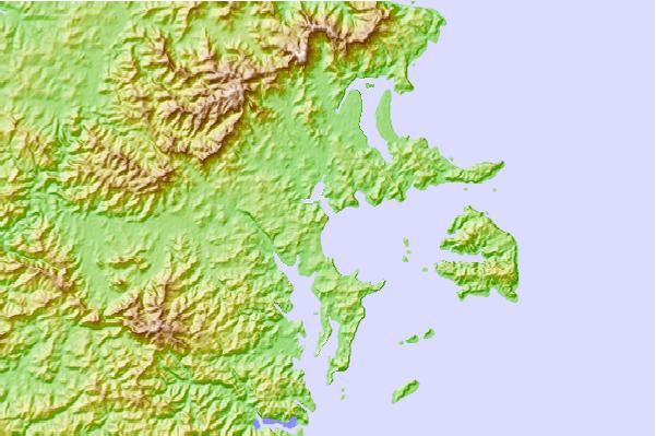
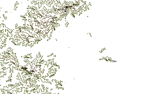
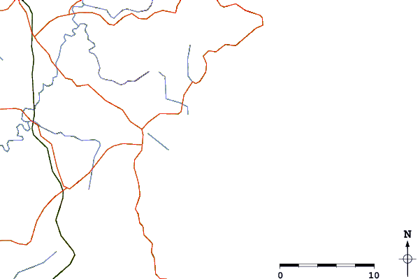
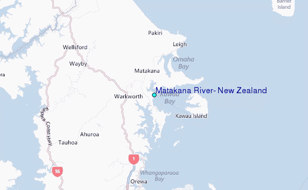
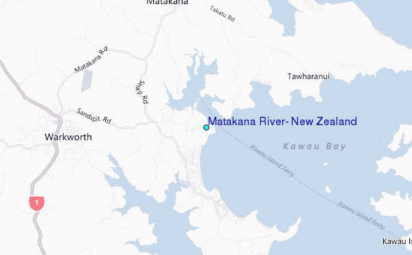
Use this relief map to navigate to tide stations, surf breaks and cities that are in the area of Matakana River, New Zealand.
Other Nearby Locations' tide tables and tide charts to Matakana River, New Zealand:
click location name for more details
 Surf breaks close to Matakana River, New Zealand:
|
||
|---|---|---|
| Closest surf break | Omaha Beach and Bar | 6 mi |
| Second closest surf break | Tawharanui | 6 mi |
| Third closest surf break | Tokatu Peninsula | 7 mi |
| Fourth closest surf break | Daniels Reef | 7 mi |
| Fifth closest surf break | Goat Island Reef | 10 mi |


 Nearest
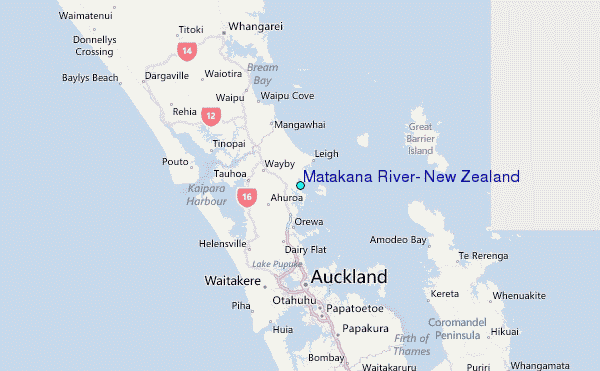