
| Distance / Altitude | Location | Report Date / Time | Live Weather | Wind | Gusts | Temp. | Visibility | Cloud |
|---|---|---|---|---|---|---|---|---|
| 9 km ENE / 219 m | Brownsville Airport (Texas) | 2026-05-04 05:53 local (2026/05/04 11:53 GMT) | Dry and cloudy | light winds from the SE (11 km/h at 130) | 23°C | 16 | overcast | |
| 13 km S / 221 m | Matamoros International Airport (Mexico) | 2026-05-04 06:45 local (2026/05/04 12:45 GMT) | Dry and partly cloudy | light winds from the SSE (9 km/h at 150) | 24°C | 11 | scattered scattered | |
| 36 km ENE / 3 m | BUOY-PTIT2 (Marine) | 2026-05-04 07:00 local (2026/05/04 13:00 GMT) | moderate winds from the SE (28 km/h at 130) | 24°C | - | |||
| 36 km NNE / 218 m | Port Isabel Airport (Texas) | 2026-05-04 05:53 local (2026/05/04 11:53 GMT) | Dry and cloudy | light winds from the SE (13 km/h at 140) | 23°C | 16 | overcast | |
| 40 km ENE / 3 m | BUOY-PCGT2 (Marine) | 2026-05-04 07:00 local (2026/05/04 13:00 GMT) | moderate winds from the SE (26 km/h at 130) | 24°C | - | |||
| 41 km NW / 216 m | Harlingen Airport (Texas) | 2026-05-04 06:00 local (2026/05/04 12:00 GMT) | Dry and cloudy | light winds from the SE (11 km/h at 140) | 21°C | 16 | broken overcast | |
| 41 km ENE / 3 m | BUOY-BZST2 (Marine) | 2026-05-04 07:00 local (2026/05/04 13:00 GMT) | fresh winds from the SE (32 km/h at 140) | 24°C | - | |||
| 48 km NNE / 3 m | BUOY-RLIT2 (Marine) | 2026-05-04 07:00 local (2026/05/04 13:00 GMT) | light winds from the N (13 km/h at 360) | 24°C | - | |||
| 56 km WNW / 21 m | Weslaco Midvalley Airport (Texas) (Texas) | 2026-05-04 06:35 local (2026/05/04 12:35 GMT) | Dry and cloudy | light winds from the ESE (15 km/h at 120) | 22°C | 16 | scattered overcast | |
| 72 km W / 290 m | Reynosa International Airport (Mexico) | 2026-05-04 06:40 local (2026/05/04 12:40 GMT) | - | light winds from the ESE (7 km/h at 120) | 21°C | 11 | few |
| Contours: | Roads & Rivers: | Select a
tide station / surf break / city |
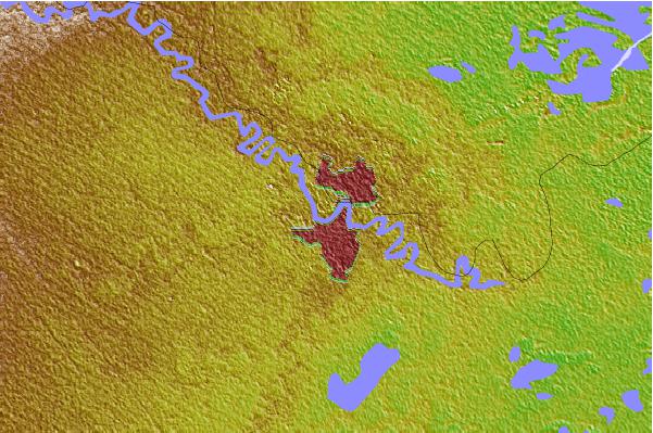

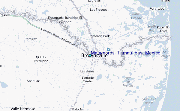
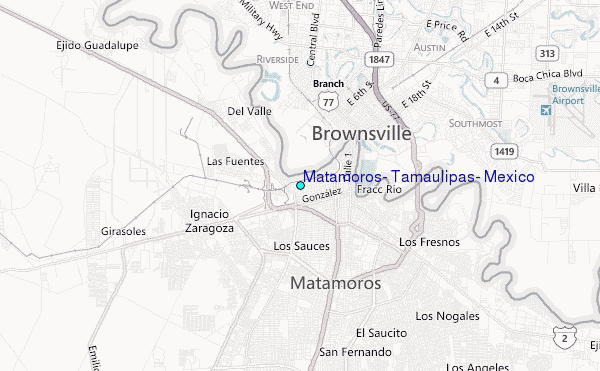
Use this relief map to navigate to tide stations, surf breaks and cities that are in the area of Matamoros, Tamaulipas, Mexico.
Other Nearby Locations' tide tables and tide charts to Matamoros, Tamaulipas, Mexico:
click location name for more details
 Surf breaks close to Matamoros, Tamaulipas, Mexico:
|
||
|---|---|---|
| Closest surf break | Boca Chica | 26 mi |
| Second closest surf break | Cove | 26 mi |
| Third closest surf break | South Padre Island | 26 mi |
| Fourth closest surf break | Port Isabel | 27 mi |
| Fifth closest surf break | Port Mansfield Jetty | 50 mi |


 Nearest
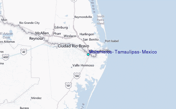