
| Distance / Altitude | Location | Report Date / Time | Live Weather | Wind | Gusts | Temp. | Visibility | Cloud |
|---|---|---|---|---|---|---|---|---|
| 24 km SE / 97 m | Bandara Airport (Indonesia) | 2026-03-30 08:30 local (2026/03/30 00:30 GMT) | - | light winds from the ESE.(Wind varies from 070 to 140 degs) (7 km/h at 110) | 29°C | 7.0 | few | |
| 105 km WSW / 1 m | DenpasarNgurahRai (Indonesia) | 2026-03-30 08:00 local (2026/03/30 00:00 GMT) | - | light winds from the E (11 km/h at 100) | 29°C | 30 km | scattered | |
| 106 km WSW / 216 m | Bali International Airport (Indonesia) | 2026-03-30 08:30 local (2026/03/30 00:30 GMT) | - | light winds from the E (15 km/h at 80) | 30°C | 10.0 | few | |
| 143 km E / 3 m | SumbawaBesarBrangbiji (Indonesia) | 2026-03-30 08:00 local (2026/03/30 00:00 GMT) | - | light winds from the SE (9 km/h at 130) | 27°C | 30 km | - few - | |
| 283 km E / 2 m | BimaM.salahuddin (Indonesia) | 2026-03-30 08:00 local (2026/03/30 00:00 GMT) | State of sky unchanged | calm (4 km/h at 100) | 25°C | 30 km | - scattered - | |
| 392 km W / 2 m | Juanda Airport (Indonesia) | 2026-03-30 08:30 local (2026/03/30 00:30 GMT) | Clouds dissolving | calm (4 km/h at 220) | 27°C | 26 km | few few - | |
| 404 km W / 3 m | SurabayaPerakI (Indonesia) | 2026-03-30 08:00 local (2026/03/30 00:00 GMT) | Clouds developing | light winds from the W (6 km/h at 260) | 27°C | 29 km | - scattered - | |
| 443 km W / 132 m | Plongko wx (Indonesia) | 2026-03-30 07:11 local (2026/03/29 23:11 GMT) | - | calm (0 km/h at 0) | — | - | - - 0 | |
| 474 km ESE / 12 m | WaingapuMauHau (Indonesia) | 2026-03-30 08:00 local (2026/03/30 00:00 GMT) | - | light winds from the SE (6 km/h at 140) | 28°C | 30 km | - few - | |
| 502 km E / 3 m | SHIP7196 (Marine) | 2026-03-30 07:00 local (2026/03/29 23:00 GMT) | light winds from the E (14 km/h at 100) | 28°C | - |
| Contours: | Roads & Rivers: | Select a
tide station / surf break / city |
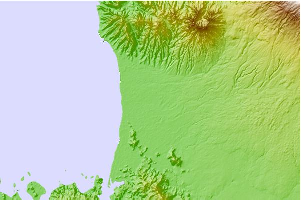
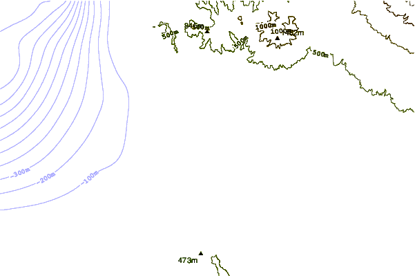
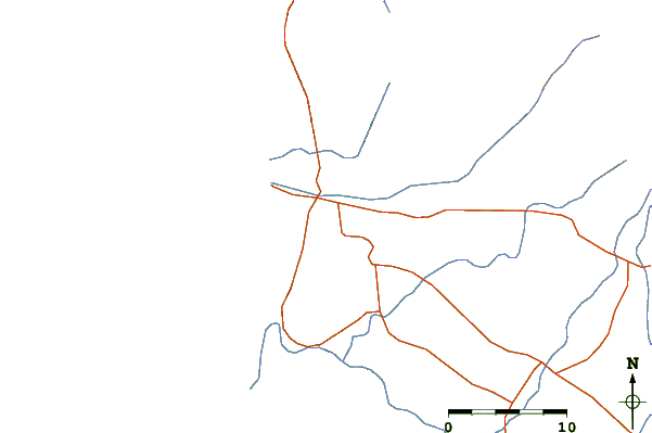
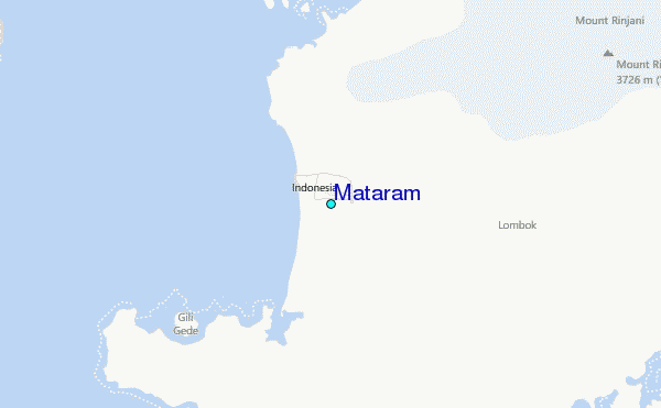
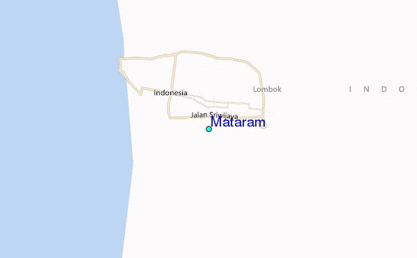
Use this relief map to navigate to tide stations, surf breaks and cities that are in the area of Mataram.
Other Nearby Locations' tide tables and tide charts to Mataram:
click location name for more details
 Surf breaks close to Mataram:
|
||
|---|---|---|
| Closest surf break | Senggigi | 9 mi |
| Second closest surf break | Gili Air-Pertama | 16 mi |
| Third closest surf break | Safari Island | 19 mi |
| Fourth closest surf break | Serangan Beach | 19 mi |
| Fifth closest surf break | Belongas | 20 mi |


 Nearest
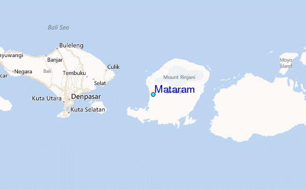