
| Distance / Altitude | Location | Report Date / Time | Live Weather | Wind | Gusts | Temp. | Visibility | Cloud |
|---|---|---|---|---|---|---|---|---|
| 6 km ENE / 10 m | Marion (Massachusetts) | 2024-07-26 20:16 local (2024/07/27 00:16 GMT) | - | calm (0 km/h at 248) | 22°C | - | - - 0 | |
| 7 km S / 4 m | Winsegansett Heights wx (United States) | 2024-07-26 20:49 local (2024/07/27 00:49 GMT) | dry | calm (0 km/h at 43) | 23°C | - | - - 0 | |
| 7 km S / 23.8 m | West Island (Massachusetts) | 2024-07-26 20:37 local (2024/07/27 00:37 GMT) | dry | calm (0 km/h at 272) | 23°C | - | - - 0 | |
| 7 km WSW / 12 m | Fairhaven (Massachusetts) | 2024-07-26 20:20 local (2024/07/27 00:20 GMT) | dry | calm (0 km/h at 195) | 23°C | - | - - 0 | |
| 8 km S / 13.5 m | Fairhaven (Massachusetts) | 2024-07-26 20:40 local (2024/07/27 00:40 GMT) | - | light winds from the WSW (13 km/h at 256) | 23°C | - | - - 0 | |
| 9 km SW / 3 m | BUOY-NBGM3 (Marine) | 2024-07-26 20:30 local (2024/07/27 00:30 GMT) | light winds from the WSW (11 km/h at 250) | 23°C | - | |||
| 10 km W / 29 m | Coury Heights wx (United States) | 2024-07-26 20:11 local (2024/07/27 00:11 GMT) | dry | calm (0 km/h at 204) | 23°C | - | - - 0 | |
| 11 km NE / 3 m | Wareham (Massachusetts) | 2024-07-26 20:49 local (2024/07/27 00:49 GMT) | dry | calm (0 km/h at 0) | 22°C | - | - - 0 | |
| 12 km W / 219 m | New Bedford Airport (Massachusetts) | 2024-07-26 19:53 local (2024/07/26 23:53 GMT) | Dry and partly cloudy | light winds from the S (6 km/h at 170) | 24°C | 16 | broken | |
| 15 km WSW / 17 m | Dartmouth (Massachusetts) | 2024-07-26 20:29 local (2024/07/27 00:29 GMT) | dry | calm (0 km/h at 0) | 22°C | - | - - 0 |
| Contours: | Roads & Rivers: | Select a
tide station / surf break / city |
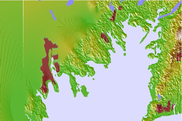
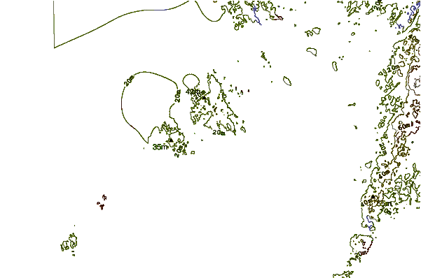
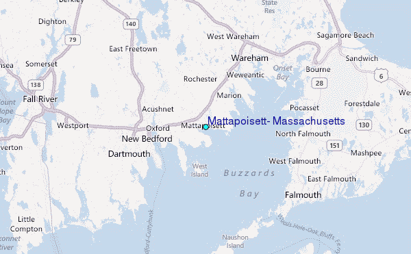
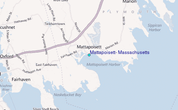
Use this relief map to navigate to tide stations, surf breaks and cities that are in the area of Mattapoisett, Massachusetts.
Other Nearby Locations' tide tables and tide charts to Mattapoisett, Massachusetts:
click location name for more details
 Surf breaks close to Mattapoisett, Massachusetts:
|
||
|---|---|---|
| Closest surf break | Horseneck Beach | 16 mi |
| Second closest surf break | Baker s Beach | 17 mi |
| Third closest surf break | Goosewing Beach | 18 mi |
| Fourth closest surf break | Cutty Wow Reef | 20 mi |
| Fifth closest surf break | 2nd Beach | 25 mi |

 Nearest
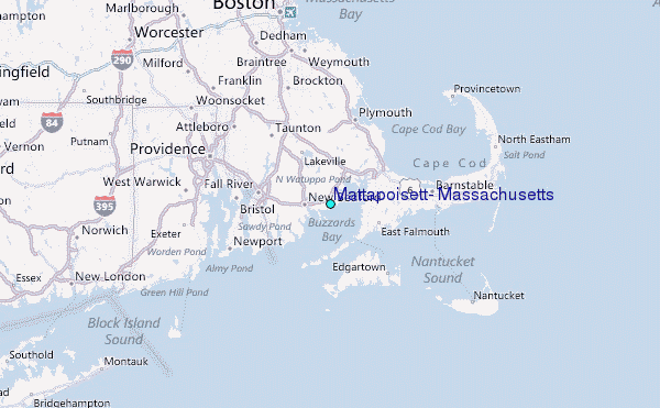